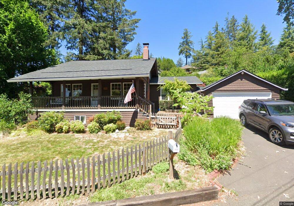
1525 SW Westwood Ct Portland, OR 97239
Hillsdale NeighborhoodEstimated Value: $778,206 - $863,000
4
Beds
3
Baths
2,678
Sq Ft
$305/Sq Ft
Est. Value
About This Home
This home is located at 1525 SW Westwood Ct, Portland, OR 97239 and is currently estimated at $815,802, approximately $304 per square foot. 1525 SW Westwood Ct is a home located in Multnomah County with nearby schools including Rieke Elementary School, Robert Gray Middle School, and Ida B. Wells-Barnett High School.
Ownership History
Date
Name
Owned For
Owner Type
Purchase Details
Closed on
Jul 7, 2014
Sold by
Dawson Scott A
Bought by
Woodward Nicholas A and Woodward Sarah C
Current Estimated Value
Home Financials for this Owner
Home Financials are based on the most recent Mortgage that was taken out on this home.
Original Mortgage
$372,000
Outstanding Balance
$281,561
Interest Rate
4.07%
Mortgage Type
New Conventional
Estimated Equity
$534,241
Purchase Details
Closed on
Oct 14, 2002
Sold by
Scott Richard J
Bought by
Scott Jo Ann M and Scott Richard J
Create a Home Valuation Report for This Property
The Home Valuation Report is an in-depth analysis detailing your home's value as well as a comparison with similar homes in the area
Home Values in the Area
Average Home Value in this Area
Purchase History
| Date | Buyer | Sale Price | Title Company |
|---|---|---|---|
| Woodward Nicholas A | $465,000 | Fidelity National Title Co | |
| Scott Jo Ann M | -- | -- |
Source: Public Records
Mortgage History
| Date | Status | Borrower | Loan Amount |
|---|---|---|---|
| Open | Woodward Nicholas A | $372,000 |
Source: Public Records
Tax History Compared to Growth
Tax History
| Year | Tax Paid | Tax Assessment Tax Assessment Total Assessment is a certain percentage of the fair market value that is determined by local assessors to be the total taxable value of land and additions on the property. | Land | Improvement |
|---|---|---|---|---|
| 2024 | $11,239 | $420,440 | -- | -- |
| 2023 | $10,807 | $408,200 | $0 | $0 |
| 2022 | $10,573 | $396,320 | $0 | $0 |
| 2021 | $10,394 | $384,780 | $0 | $0 |
| 2020 | $9,535 | $373,580 | $0 | $0 |
| 2019 | $9,184 | $362,700 | $0 | $0 |
| 2018 | $8,914 | $352,140 | $0 | $0 |
| 2017 | $8,543 | $341,890 | $0 | $0 |
| 2016 | $7,818 | $331,940 | $0 | $0 |
| 2015 | $7,613 | $322,280 | $0 | $0 |
| 2014 | $7,498 | $312,900 | $0 | $0 |
Source: Public Records
Map
Nearby Homes
- 0 SW Westwood Ct
- 1125 SW Westwood Ct
- 1508 SW Dewitt St
- 6022 SW 18th Dr
- 6020 SW 18th Dr
- 992 SW Westwood Dr
- 6008 SW 18th Dr
- 6026 SW 18th Dr
- 991 SW Westwood Dr
- 6220 SW Capitol Hwy Unit 7
- 2245 SW Martha St
- 5128 SW Northwood Ave
- 6254 SW Burlingame Ave Unit A
- 5144 SW Northwood Ave
- 0 SW 25th Ave Unit 2 685565814
- 5570 SW Menefee Dr
- 2523 SW Beaverton Hillsdale Hwy
- 4731 SW 18th Dr Unit A
- 4700 SW Northwood Ave
- 4530 SW Council Crest Dr
- 1600 SW Martha St
- 1535 SW Martha St
- 1516 SW Westwood Ct
- 1528 SW Westwood Ct
- 1600 SW Westwood Ct
- 1601 SW Martha St
- 1430 SW Westwood Ct
- 1612 SW Westwood Ct
- 1609 SW Westwood Ct
- 5435 SW Alta Mira Cir
- 1650 SW Martha St
- 1515 SW Flower St
- 1424 SW Westwood Ct
- 5431 SW Alta Mira Cir
- 1625 SW Westwood Ct
- 5637 SW Cheltenham Dr
- 5434 SW Alta Mira Cir
- 1613 SW Westwood Ct
- 1629 SW Westwood Ct
- 1404 SW Westwood Ct