15251 Us Highway 12 Brooklyn, MI 49230
Estimated Value: $708,000 - $1,184,863
6
Beds
1
Bath
2,200
Sq Ft
$430/Sq Ft
Est. Value
About This Home
This home is located at 15251 Us Highway 12, Brooklyn, MI 49230 and is currently estimated at $946,432, approximately $430 per square foot. 15251 Us Highway 12 is a home located in Lenawee County with nearby schools including Columbia Lower Elementary School, Columbia Upper Elementary School, and Columbia Central Jr./Sr. High School.
Ownership History
Date
Name
Owned For
Owner Type
Purchase Details
Closed on
Sep 3, 2011
Sold by
Nichols Sherry
Bought by
Nichols Haskell L
Current Estimated Value
Purchase Details
Closed on
Jun 4, 2010
Sold by
Williams Patricia A and Tipton Derek L
Bought by
Rowe Jerry
Purchase Details
Closed on
Aug 9, 2000
Bought by
Gilmore Robert W and Gilmore Jeanne A
Create a Home Valuation Report for This Property
The Home Valuation Report is an in-depth analysis detailing your home's value as well as a comparison with similar homes in the area
Home Values in the Area
Average Home Value in this Area
Purchase History
| Date | Buyer | Sale Price | Title Company |
|---|---|---|---|
| Nichols Haskell L | $7,500 | None Available | |
| Rowe Jerry | $13,500 | Prestige Title Insurance Age | |
| Gilmore Robert W | -- | -- |
Source: Public Records
Tax History Compared to Growth
Tax History
| Year | Tax Paid | Tax Assessment Tax Assessment Total Assessment is a certain percentage of the fair market value that is determined by local assessors to be the total taxable value of land and additions on the property. | Land | Improvement |
|---|---|---|---|---|
| 2025 | $11,604 | $674,700 | $0 | $0 |
| 2024 | $4,006 | $682,000 | $0 | $0 |
| 2023 | $8,818 | $684,000 | $0 | $0 |
| 2022 | $8,521 | $464,600 | $0 | $0 |
| 2021 | $8,503 | $343,600 | $0 | $0 |
| 2020 | $8,076 | $309,300 | $0 | $0 |
| 2019 | $880,106 | $309,300 | $0 | $0 |
| 2018 | $8,026 | $119,463 | $0 | $0 |
| 2017 | $7,638 | $120,315 | $0 | $0 |
| 2016 | $7,587 | $119,929 | $0 | $0 |
| 2014 | -- | $114,002 | $0 | $0 |
Source: Public Records
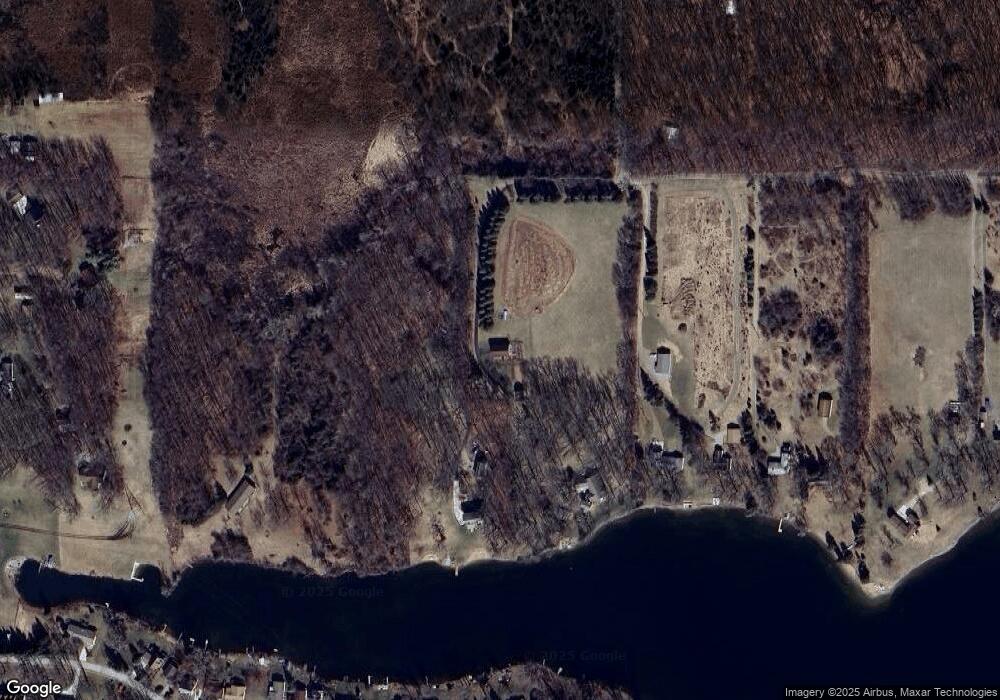
Map
Nearby Homes
- 33 S Shore Dr Unit across street 1/2 ac
- 10735 Channel Dr
- 186 Harris Dr
- 10531 Devils Lake Hwy
- 900 Pamawa Dr
- 10450 Cement City Hwy
- 61 Pamawa Dr
- Lot 62 Pamawa Dr
- 15499 Cement City Rd
- 15816 Sanford Rd
- 12938 Kelley Rd
- 129 Kathy Ln
- 120 Kathy Ln
- 17430 U S 12
- 9304 Parkhurst Hwy
- 287 Somerset Dr
- 104 High View Ct
- 10911 Devils Lake Hwy
- 8000 Parkhurst Hwy Unit Carroll Dr ((1175)
- 506 Lewis Rd
- 15251 Us Highway 12
- 15251 Us Highway 12
- 15417 Us Highway 12
- 15271 U S 12
- 15476 Us Highway 12
- 0 Kathleen Ct Unit Lot B 201702073
- 0 Kathleen Ct Unit M21083525
- 0 Kathleen Ct Unit M21038522
- 0 Kathleen Ct Unit M21038236
- 0 Kathleen Ct Unit M21037704
- 0 Kathleen Ct Unit 21045953
- 0 Kathleen Ct Unit 91772
- 0 Kathleen Ct Unit KATHLEEN 948095
- 15649 U S 12 Unit Silve
- 15649 U S 12 Unit Silver Lake Golf Cou
- 15649 U S 12
- 15649 Us Highway 12 Unit Silver Lake Golf Cou
- 16000 U S 12 Unit PARCEL C
- 16000 U S 12 Unit PARCEL D
- 16000 U S 12 Unit PARCEL B