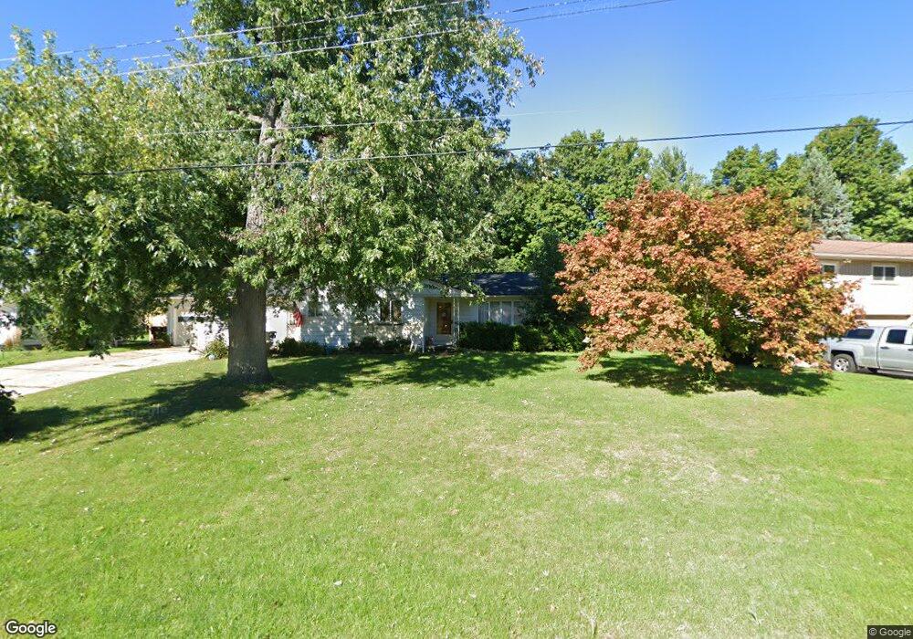
15254 Pinehurst Dr Lansing, MI 48906
Estimated Value: $226,516 - $261,000
3
Beds
2
Baths
1,240
Sq Ft
$198/Sq Ft
Est. Value
About This Home
This home is located at 15254 Pinehurst Dr, Lansing, MI 48906 and is currently estimated at $246,129, approximately $198 per square foot. 15254 Pinehurst Dr is a home located in Clinton County with nearby schools including Gier Park School, Pattengill Academy, and Eastern High School.
Ownership History
Date
Name
Owned For
Owner Type
Purchase Details
Closed on
Oct 24, 2024
Sold by
Revoldt Rand and Revoldt Bridgette
Bought by
Revoldt Rand and Revoldt Bridgette
Current Estimated Value
Purchase Details
Closed on
Feb 9, 2024
Sold by
Revoldt Rand
Bought by
Revoldt Rand and Revoldt Bridgette
Purchase Details
Closed on
Feb 1, 2024
Sold by
Golupski Paul B and Golupski Mary M
Bought by
Revoldt Rand
Purchase Details
Closed on
May 28, 2021
Sold by
Golupski Paul B and Golupski Mary M
Bought by
Golupski Paul B and Golupski Mary M
Create a Home Valuation Report for This Property
The Home Valuation Report is an in-depth analysis detailing your home's value as well as a comparison with similar homes in the area
Home Values in the Area
Average Home Value in this Area
Purchase History
| Date | Buyer | Sale Price | Title Company |
|---|---|---|---|
| Revoldt Rand | -- | None Listed On Document | |
| Revoldt Rand | -- | None Listed On Document | |
| Revoldt Rand | -- | None Listed On Document | |
| Golupski Paul B | -- | None Listed On Document |
Source: Public Records
Tax History
| Year | Tax Paid | Tax Assessment Tax Assessment Total Assessment is a certain percentage of the fair market value that is determined by local assessors to be the total taxable value of land and additions on the property. | Land | Improvement |
|---|---|---|---|---|
| 2025 | $2,266 | $107,300 | $22,000 | $85,300 |
| 2024 | $15 | $100,100 | $20,600 | $79,500 |
| 2023 | $1,393 | $88,400 | $0 | $0 |
| 2022 | $2,037 | $79,000 | $18,300 | $60,700 |
| 2021 | $1,970 | $74,600 | $17,400 | $57,200 |
| 2020 | $1,950 | $69,400 | $16,400 | $53,000 |
| 2019 | $1,865 | $64,200 | $15,400 | $48,800 |
| 2018 | $1,634 | $61,400 | $15,000 | $46,400 |
| 2017 | $1,611 | $59,600 | $14,300 | $45,300 |
| 2016 | $1,602 | $56,500 | $13,500 | $43,000 |
| 2015 | $1,556 | $53,300 | $0 | $0 |
| 2011 | -- | $52,500 | $0 | $0 |
Source: Public Records
Map
Nearby Homes
- 15378 Chetwyn Dr
- 1901 E Stoll Rd
- 605 Galahad Dr Unit 374
- 15710 Oak Lane Dr
- 606 Eastgate Dr Unit 384
- 107 Normandy Dr Unit 100
- 108 Normandy Dr Unit 77
- 15860 Brook Rd
- 1015 Pearl St
- E State Rd
- 14150 Wood Rd
- 15897 Elmira St
- 210 Saint Ives N
- 220 Saint Ives N
- 1230 W Wieland Rd
- 1401 Bennett Rd
- 16550 S Us 27
- 420 Blenheim Place
- 14103 Ambrosia Ave
- 1694 W Solon Rd
- 15236 Pinehurst Dr
- 15274 Pinehurst Dr
- 15253 Chetwyn Dr
- 15235 Chetwyn Dr
- 15253 Pinehurst Dr
- 15273 Pinehurst Dr
- 15216 Pinehurst Dr
- 15271 Chetwyn Dr
- 15292 Pinehurst Dr
- 15215 Chetwyn Dr
- 15291 Pinehurst Dr
- 15291 Chetwyn Dr
- 15198 Pinehurst Dr
- 15250 Yorkleigh Dr
- 15312 Pinehurst Dr
- 15211 Pinehurst Dr
- 15272 Yorkleigh Dr
- 15197 Chetwyn Dr
- 15311 Pinehurst Dr
Your Personal Tour Guide
Ask me questions while you tour the home.