Estimated Value: $149,000 - $182,000
4
Beds
1
Bath
1,537
Sq Ft
$108/Sq Ft
Est. Value
About This Home
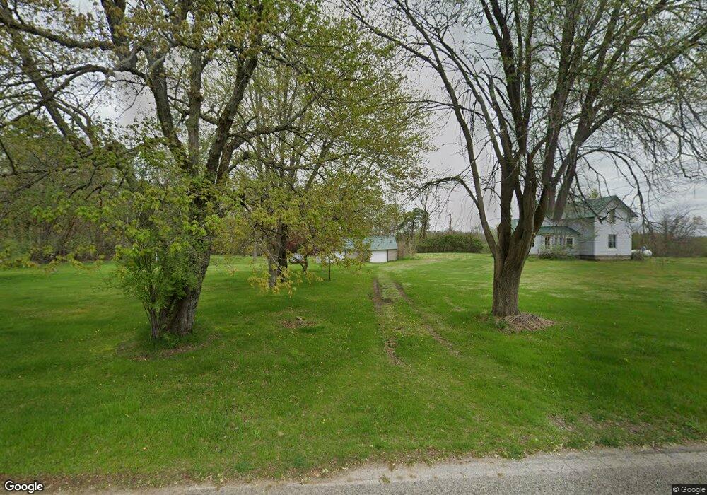
This home is located at 15258 Ring Rd, Brant, MI 48614 and is currently estimated at $166,392, approximately $108 per square foot. 15258 Ring Rd is a home located in Saginaw County with nearby schools including St. Charles Elementary School and St. Charles Community Middle/High School.
Ownership History
Date
Name
Owned For
Owner Type
Purchase Details
Closed on
Nov 18, 2016
Sold by
Thurston Marilyn P
Bought by
Marilyn P Thurston Revoca Ble Living and Thurston Marilyn P
Current Estimated Value
Home Financials for this Owner
Home Financials are based on the most recent Mortgage that was taken out on this home.
Interest Rate
3.94%
Purchase Details
Closed on
Dec 10, 1999
Sold by
Kezciuk Edward Michael and Thurston Marilyn
Bought by
Thurston Marilyn
Create a Home Valuation Report for This Property
The Home Valuation Report is an in-depth analysis detailing your home's value as well as a comparison with similar homes in the area
Purchase History
| Date | Buyer | Sale Price | Title Company |
|---|---|---|---|
| Marilyn P Thurston Revoca Ble Living | -- | -- | |
| Thurston Marilyn | -- | -- | |
| Thurston Marilyn | -- | -- |
Source: Public Records
Mortgage History
| Date | Status | Borrower | Loan Amount |
|---|---|---|---|
| Closed | Marilyn P Thurston Revoca Ble Living | -- |
Source: Public Records
Tax History
| Year | Tax Paid | Tax Assessment Tax Assessment Total Assessment is a certain percentage of the fair market value that is determined by local assessors to be the total taxable value of land and additions on the property. | Land | Improvement |
|---|---|---|---|---|
| 2025 | $488 | $70,500 | $0 | $0 |
| 2024 | $473 | $58,800 | $0 | $0 |
| 2023 | $451 | $58,500 | $0 | $0 |
| 2022 | $1,369 | $51,600 | $0 | $0 |
| 2021 | $1,291 | $46,100 | $0 | $0 |
| 2020 | $1,263 | $47,100 | $0 | $0 |
| 2019 | $1,217 | $46,000 | $14,700 | $31,300 |
| 2018 | $393 | $42,600 | $0 | $0 |
| 2017 | $1,088 | $41,500 | $0 | $0 |
| 2016 | $1,079 | $37,300 | $0 | $0 |
| 2014 | -- | $34,400 | $0 | $19,700 |
| 2013 | -- | $33,600 | $0 | $0 |
Source: Public Records
Map
Nearby Homes
- 10854 S Hemlock Rd
- 8700 S Hemlock Rd
- 12465 Fergus Rd
- 16030 Grabowski Rd
- V/L W Walnut St
- 0 W Walnut St Unit 50159593
- 12000 W Townline Rd
- 10001 Carr Rd
- 10293 Carr Rd
- 434` W Maple St
- 12431 W Townline Rd
- 1201 Flint St
- 410 W Maple St
- 223 W Hosmer St
- 710 Chesaning St
- 123 E Spruce St
- 204 E North St
- 7899 Beaver Rd
- 7056 S Orr Rd
- vl E Maple St
- 15370 Ring Rd
- 15190 Ring Rd
- 15455 Ring Rd
- 15166 Ring Rd
- 15480 Ring Rd
- 15091 Ring Rd
- 15500 Ring Rd
- 15050 Ring Rd
- 15501 Schroeder Rd
- 10622 S Raucholz Rd
- 10126 S Raucholz Rd
- 10720 S Raucholz Rd
- 10499 S Raucholz Rd
- 10455 S Raucholz Rd
- 15575 Ring Rd
- 10375 S Raucholz Rd
- 10305 S Raucholz Rd
- 15635 Ring Rd
- 15246 Brant Rd
- 10225 S Raucholz Rd
Your Personal Tour Guide
Ask me questions while you tour the home.