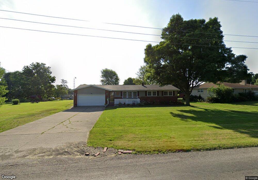
1526 Beal Rd Mansfield, OH 44903
Estimated Value: $209,033 - $246,000
3
Beds
2
Baths
1,288
Sq Ft
$175/Sq Ft
Est. Value
About This Home
This home is located at 1526 Beal Rd, Mansfield, OH 44903 and is currently estimated at $225,508, approximately $175 per square foot. 1526 Beal Rd is a home located in Richland County with nearby schools including Madison High School, Temple-Christian School, and St. Mary Catholic School.
Ownership History
Date
Name
Owned For
Owner Type
Purchase Details
Closed on
Apr 11, 2001
Sold by
Hunter Lucille M J
Bought by
Mitchell Thomas L and Mitchell Linda F
Current Estimated Value
Home Financials for this Owner
Home Financials are based on the most recent Mortgage that was taken out on this home.
Original Mortgage
$66,500
Outstanding Balance
$24,569
Interest Rate
7.05%
Mortgage Type
New Conventional
Estimated Equity
$200,939
Create a Home Valuation Report for This Property
The Home Valuation Report is an in-depth analysis detailing your home's value as well as a comparison with similar homes in the area
Home Values in the Area
Average Home Value in this Area
Purchase History
| Date | Buyer | Sale Price | Title Company |
|---|---|---|---|
| Mitchell Thomas L | $96,500 | -- |
Source: Public Records
Mortgage History
| Date | Status | Borrower | Loan Amount |
|---|---|---|---|
| Open | Mitchell Thomas L | $66,500 |
Source: Public Records
Tax History
| Year | Tax Paid | Tax Assessment Tax Assessment Total Assessment is a certain percentage of the fair market value that is determined by local assessors to be the total taxable value of land and additions on the property. | Land | Improvement |
|---|---|---|---|---|
| 2024 | $1,721 | $46,610 | $11,390 | $35,220 |
| 2023 | $1,787 | $46,610 | $11,390 | $35,220 |
| 2022 | $1,661 | $39,140 | $10,020 | $29,120 |
| 2021 | $1,661 | $39,140 | $10,020 | $29,120 |
| 2020 | $1,673 | $39,140 | $10,020 | $29,120 |
| 2019 | $1,529 | $33,430 | $8,490 | $24,940 |
| 2018 | $1,430 | $33,430 | $8,490 | $24,940 |
| 2017 | $1,396 | $33,430 | $8,490 | $24,940 |
| 2016 | $1,393 | $32,480 | $8,060 | $24,420 |
| 2015 | $1,328 | $32,480 | $8,060 | $24,420 |
| 2014 | $1,323 | $32,480 | $8,060 | $24,420 |
| 2012 | $625 | $32,490 | $8,490 | $24,000 |
Source: Public Records
Map
Nearby Homes
- 1359 N Stewart Rd
- 961 Neil Cir N
- 1098 Stewart Rd N
- 690 Ashland Rd
- 698 Hoover Rd
- 937 Expressview Dr
- 888 Beal Rd
- 811 Mayflower Ave
- 1990 Woodmont Rd
- 573 Caldwell Ave
- 1168 ConcheMcO St
- 0 Wesley
- 1217 Evergreen Ave W
- 683 Coachman Rd
- 1226 Evergreen Ave W
- 644 Skyline Rd
- 646 Fleetwood Rd
- 0 Lenox Ave
- 632 Coachman Rd
- 936 Becky Dr
Your Personal Tour Guide
Ask me questions while you tour the home.