1526 I Path Unit 148 Cotopaxi, CO 81223
Estimated Value: $23,000 - $62,000
--
Bed
--
Bath
--
Sq Ft
2.55
Acres
About This Home
This home is located at 1526 I Path Unit 148, Cotopaxi, CO 81223 and is currently estimated at $36,034. 1526 I Path Unit 148 is a home located in Fremont County with nearby schools including Cotopaxi Elementary School and Cotopaxi Junior/Senior High School.
Ownership History
Date
Name
Owned For
Owner Type
Purchase Details
Closed on
Feb 3, 2020
Sold by
Mcclane D Scott D and Mcclane Don J
Bought by
Helkenn Brian and Morris Jill
Current Estimated Value
Purchase Details
Closed on
Apr 25, 2008
Sold by
Kelly Richard and Kelly Jamie
Bought by
Mcclane D Scott and Mcclane J
Purchase Details
Closed on
Aug 15, 2005
Sold by
Mccabe Michael J
Bought by
Kelly Richard and Kelly Jamie
Purchase Details
Closed on
Mar 2, 2005
Sold by
King Paul D and King Mary A
Bought by
Mccabe Michael J
Purchase Details
Closed on
Jun 29, 2004
Sold by
Mills Treasurer and Mills Luther P
Bought by
King Paul D and King Mary A
Purchase Details
Closed on
Jun 1, 1987
Sold by
Colo Acres Inc
Bought by
Mills
Create a Home Valuation Report for This Property
The Home Valuation Report is an in-depth analysis detailing your home's value as well as a comparison with similar homes in the area
Home Values in the Area
Average Home Value in this Area
Purchase History
| Date | Buyer | Sale Price | Title Company |
|---|---|---|---|
| Helkenn Brian | $15,000 | Fidelity National Title | |
| Mcclane D Scott | $12,000 | None Available | |
| Kelly Richard | $10,000 | None Available | |
| Mccabe Michael J | $4,100 | None Available | |
| King Paul D | -- | -- | |
| Mills | $5,000 | -- |
Source: Public Records
Tax History Compared to Growth
Tax History
| Year | Tax Paid | Tax Assessment Tax Assessment Total Assessment is a certain percentage of the fair market value that is determined by local assessors to be the total taxable value of land and additions on the property. | Land | Improvement |
|---|---|---|---|---|
| 2024 | $241 | $6,759 | $6,759 | $0 |
| 2023 | $241 | $4,980 | $4,980 | $0 |
| 2022 | $131 | $2,810 | $2,810 | $0 |
| 2021 | $128 | $2,810 | $2,810 | $0 |
| 2020 | $125 | $2,810 | $2,810 | $0 |
| 2019 | $125 | $2,810 | $2,810 | $0 |
| 2018 | $112 | $2,514 | $0 | $0 |
| 2017 | $112 | $2,514 | $0 | $0 |
| 2016 | $103 | $2,320 | $0 | $0 |
| 2015 | $103 | $2,320 | $0 | $0 |
| 2012 | -- | $2,900 | $2,900 | $0 |
Source: Public Records
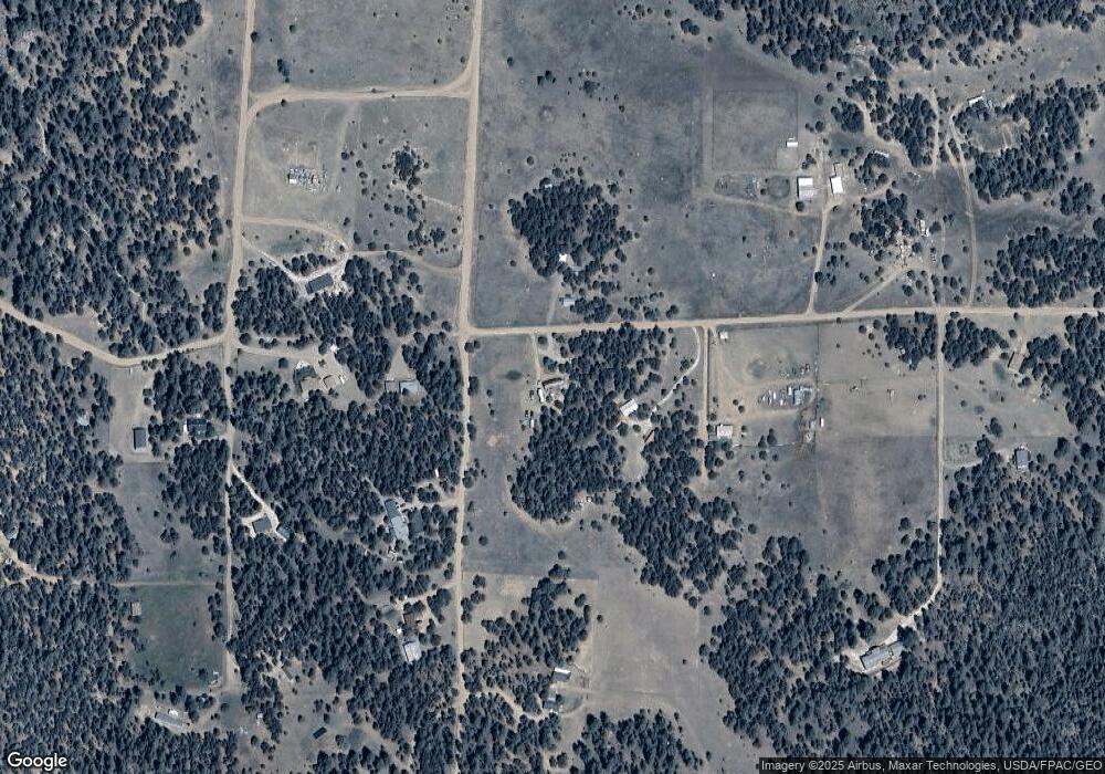
Map
Nearby Homes
- 1839 15th Trail
- 388 15th Trail
- 863 15th Trail
- 763 15th Trail
- 763 17th Trail
- NYA I Path
- TR-121 19th Trail
- 0 K Path Unit 8642609
- TR-33 10th Trail
- H Path 34th Trail
- 739 17th Trail
- 000 K Path
- 1012 17th Trail
- TR-1 G Path
- 44th Trail G Path
- TBD L 20th Trail
- 1238 17th Trail
- 539 12th Trail
- TBD 16th Trail
- 539
- 1526 I Path
- 1476 I Path
- 1576 I Path
- 938 15th Trail
- 939 15th Trail
- 914 14th Trail
- 888 14th Trail
- 912 14th Trail
- 938 14th Trail
- 963 15th Trail
- 913 14th Trail
- 913 14th Trail Unit 76B
- 0 15th St Unit 3600639
- 988 15th Trail
- 839 17th Trail
- 1675 I Path
- 1675 I Path Unit 97B
- 939 17th Trail
- 813 15th Trail
- 6 15th Trail