1526 Maple Grove Rd Williamsburg, OH 45176
Estimated Value: $122,989 - $174,000
3
Beds
1
Bath
1,142
Sq Ft
$135/Sq Ft
Est. Value
About This Home
This home is located at 1526 Maple Grove Rd, Williamsburg, OH 45176 and is currently estimated at $154,247, approximately $135 per square foot. 1526 Maple Grove Rd is a home located in Brown County with nearby schools including Western Brown High School.
Ownership History
Date
Name
Owned For
Owner Type
Purchase Details
Closed on
Feb 3, 2006
Sold by
Washington Mutual Bank
Bought by
Paul Rebecca L and Crowe Benjamin
Current Estimated Value
Purchase Details
Closed on
Dec 30, 2005
Sold by
Demaris Richard W and Demaris Tammy J
Bought by
Washington Mutual Bank
Purchase Details
Closed on
Aug 27, 1997
Sold by
Davis Hazel M
Bought by
Demaris Richard W and Demaris Tammy J
Home Financials for this Owner
Home Financials are based on the most recent Mortgage that was taken out on this home.
Original Mortgage
$46,000
Interest Rate
7.57%
Create a Home Valuation Report for This Property
The Home Valuation Report is an in-depth analysis detailing your home's value as well as a comparison with similar homes in the area
Home Values in the Area
Average Home Value in this Area
Purchase History
| Date | Buyer | Sale Price | Title Company |
|---|---|---|---|
| Paul Rebecca L | $35,000 | Resource Title Agency Inc | |
| Washington Mutual Bank | $25,000 | None Available | |
| Demaris Richard W | $46,000 | -- |
Source: Public Records
Mortgage History
| Date | Status | Borrower | Loan Amount |
|---|---|---|---|
| Previous Owner | Demaris Richard W | $46,000 |
Source: Public Records
Tax History Compared to Growth
Tax History
| Year | Tax Paid | Tax Assessment Tax Assessment Total Assessment is a certain percentage of the fair market value that is determined by local assessors to be the total taxable value of land and additions on the property. | Land | Improvement |
|---|---|---|---|---|
| 2024 | $782 | $21,560 | $5,220 | $16,340 |
| 2023 | $782 | $17,900 | $4,410 | $13,490 |
| 2022 | $706 | $17,900 | $4,410 | $13,490 |
| 2021 | $699 | $17,900 | $4,410 | $13,490 |
| 2020 | $618 | $14,920 | $3,680 | $11,240 |
| 2019 | $307 | $14,920 | $3,680 | $11,240 |
| 2018 | $610 | $14,920 | $3,680 | $11,240 |
| 2017 | $504 | $14,530 | $4,690 | $9,840 |
| 2016 | $503 | $14,530 | $4,690 | $9,840 |
| 2015 | $516 | $14,530 | $4,690 | $9,840 |
| 2014 | $516 | $14,100 | $4,260 | $9,840 |
| 2013 | $514 | $14,100 | $4,260 | $9,840 |
Source: Public Records
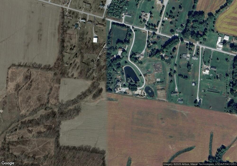
Map
Nearby Homes
- 2017 Maple Grove Rd
- 3722 Coon Ave
- 1921 Amiott Ln
- 1993 Old State Rd
- 2079 Old State Rd
- 3644 Deer Trace
- 13045 Lower Cumberland Rd
- 3657 Bootjack Corner Rd
- 0 Deer Trace Rd
- 133 Kelly Dr
- 117 Kelly Dr
- 101 Julian Ln
- 3690 Todds Run Foster Rd
- 2437 Tri County Hwy
- Harmony Plan at Cornerstone Crossing
- Fairton Plan at Cornerstone Crossing
- Bellamy Plan at Cornerstone Crossing
- Aldridge Plan at Cornerstone Crossing
- 130 Cornerstone Dr
- 126 Cornerstone Dr
- 1526 Maple Grove Rd
- 1542 Maple Grove Rd
- 1524 Maple Grove Rd
- 1482 Maple Grove Rd
- 1548 Maple Grove Rd
- 1566 Maple Grove Rd
- 1500 Maple Grove Rd
- 1476 Maple Grove Rd
- 1590 Maple Grove Rd
- 1537 Maple Grove Rd
- 1468 Maple Grove Rd
- 1491 Maple Grove Rd
- 1456 Maple Grove Rd
- 1467 Maple Grove Rd
- 1620 Maple Grove Rd
- 1553 Maple Grove Rd
- 1451 Maple Grove Rd
- 1598 Maple Grove Rd
- 1604 Maple Grove Rd
- 1441 Maple Grove Rd