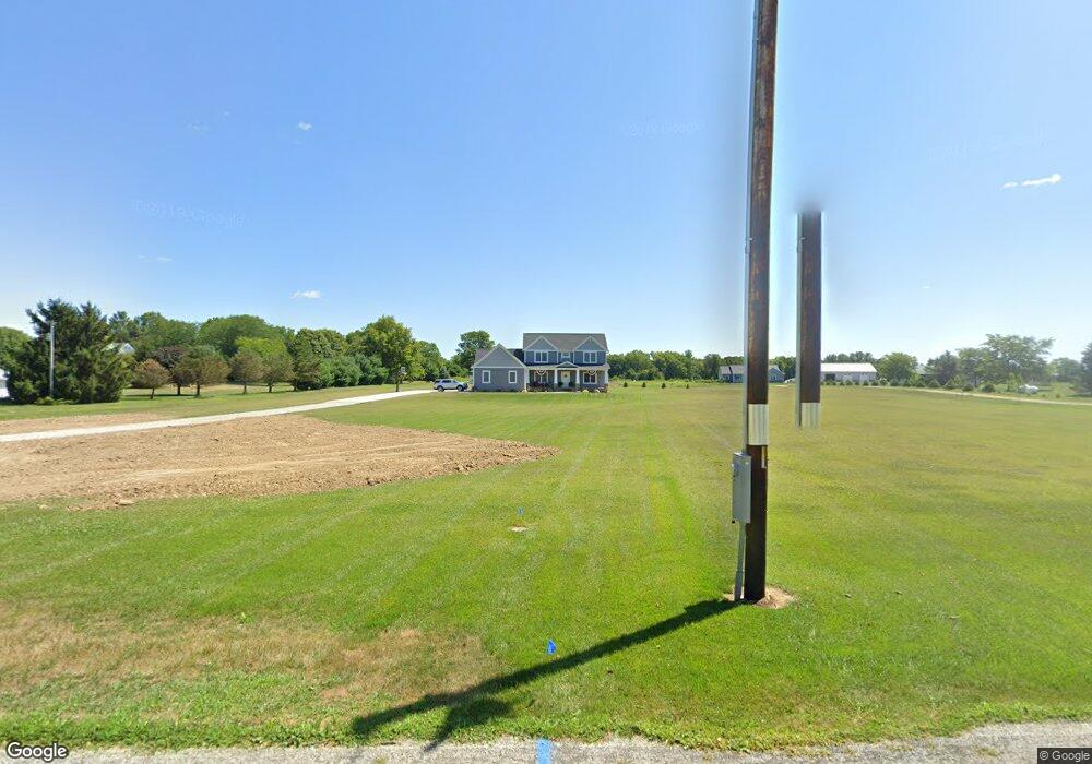
1526 River Rd Ostrander, OH 43061
Estimated Value: $612,000 - $712,762
3
Beds
3
Baths
2,460
Sq Ft
$261/Sq Ft
Est. Value
About This Home
This home is located at 1526 River Rd, Ostrander, OH 43061 and is currently estimated at $643,191, approximately $261 per square foot. 1526 River Rd is a home with nearby schools including Buckeye Valley High School.
Ownership History
Date
Name
Owned For
Owner Type
Purchase Details
Closed on
Oct 28, 2016
Bought by
Ryan Keller and Cassandra Keller
Current Estimated Value
Home Financials for this Owner
Home Financials are based on the most recent Mortgage that was taken out on this home.
Interest Rate
3.47%
Purchase Details
Closed on
May 18, 2011
Sold by
Windle Karen L
Bought by
Windle Karen L and Karen L Windle Trust
Create a Home Valuation Report for This Property
The Home Valuation Report is an in-depth analysis detailing your home's value as well as a comparison with similar homes in the area
Home Values in the Area
Average Home Value in this Area
Purchase History
| Date | Buyer | Sale Price | Title Company |
|---|---|---|---|
| Ryan Keller | $41,300 | -- | |
| Windle Karen L | -- | Attorney |
Source: Public Records
Mortgage History
| Date | Status | Borrower | Loan Amount |
|---|---|---|---|
| Closed | Ryan Keller | -- |
Source: Public Records
Tax History
| Year | Tax Paid | Tax Assessment Tax Assessment Total Assessment is a certain percentage of the fair market value that is determined by local assessors to be the total taxable value of land and additions on the property. | Land | Improvement |
|---|---|---|---|---|
| 2024 | $7,533 | $201,150 | $28,000 | $173,150 |
| 2023 | $6,824 | $182,280 | $28,000 | $154,280 |
| 2022 | $5,836 | $138,500 | $18,730 | $119,770 |
| 2021 | $5,844 | $138,500 | $18,730 | $119,770 |
| 2020 | $5,873 | $138,500 | $18,730 | $119,770 |
| 2019 | $4,996 | $116,100 | $16,280 | $99,820 |
| 2018 | $5,070 | $116,100 | $16,280 | $99,820 |
| 2017 | $619 | $14,460 | $14,460 | $0 |
| 2016 | $567 | $14,460 | $14,460 | $0 |
| 2015 | $598 | $14,460 | $14,460 | $0 |
| 2014 | $563 | $14,460 | $14,460 | $0 |
| 2013 | $592 | $14,460 | $14,460 | $0 |
Source: Public Records
Map
Nearby Homes
- 1817 Lawrence Rd
- 6685 State Route 37 W
- 715 Tyler Rd
- 0 Mink Street Rd Unit 226007139
- 4389 State Route 203
- 3734 Warrensburg Rd
- 3680 Warrensburg Rd
- 0 Marsh Rd Unit 226008897
- 3935 N Section Line Rd
- 130 Cedar Creek St
- 240 Glemsbury Dr
- 159 Marblewood Dr
- 2961 Warrensburg Rd
- 615 S Section Line Rd
- 854 S Section Line Rd
- 0 Carr Rd Unit 225016840
- 573 Penwell Dr
- 538 Penwell Dr
- 309 Timbersmith Dr
- 226 Springer Woods Blvd
- 1468 River Rd
- 981 River Rd
- 5501 David Rd
- 1482 River Rd
- 0 River Rd Unit 2655643
- 0 River Rd Unit 116 2111454
- 0 River Rd Unit 2100396
- 0 River Rd Unit 116 87028
- 0 River Rd Unit L116 9808730
- 0 River Rd
- 5511 David Rd
- 1178 River Rd
- 5300 David Rd
- 5181 David Rd
- 1248 State Route 257 N
- 1824 River Rd
- 5165 David Rd
- 1191 River Rd
- 1178 State Route 257 N
- 1835 River Rd
Your Personal Tour Guide
Ask me questions while you tour the home.