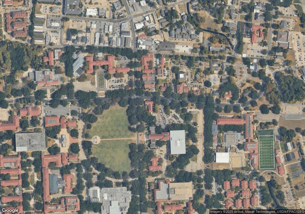
1526 St Albans Baton Rouge, LA 70810
Oak Hills Place NeighborhoodEstimated Value: $546,000 - $624,000
4
Beds
3
Baths
2,643
Sq Ft
$220/Sq Ft
Est. Value
About This Home
This home is located at 1526 St Albans, Baton Rouge, LA 70810 and is currently estimated at $580,607, approximately $219 per square foot. 1526 St Albans is a home located in East Baton Rouge Parish with nearby schools including Woodlawn Middle School, Woodlawn High School, and Montessori School of Baton Rouge.
Ownership History
Date
Name
Owned For
Owner Type
Purchase Details
Closed on
Sep 29, 2009
Sold by
Giblin James P
Bought by
Derouen Gordon R
Current Estimated Value
Home Financials for this Owner
Home Financials are based on the most recent Mortgage that was taken out on this home.
Original Mortgage
$306,400
Outstanding Balance
$202,914
Interest Rate
5.36%
Mortgage Type
New Conventional
Estimated Equity
$377,693
Purchase Details
Closed on
Aug 20, 1998
Sold by
Kyle & Kyle Construction Co
Bought by
Anagnoston Mark S
Create a Home Valuation Report for This Property
The Home Valuation Report is an in-depth analysis detailing your home's value as well as a comparison with similar homes in the area
Home Values in the Area
Average Home Value in this Area
Purchase History
| Date | Buyer | Sale Price | Title Company |
|---|---|---|---|
| Derouen Gordon R | $383,000 | -- | |
| Anagnoston Mark S | $274,900 | -- |
Source: Public Records
Mortgage History
| Date | Status | Borrower | Loan Amount |
|---|---|---|---|
| Open | Derouen Gordon R | $306,400 |
Source: Public Records
Tax History Compared to Growth
Tax History
| Year | Tax Paid | Tax Assessment Tax Assessment Total Assessment is a certain percentage of the fair market value that is determined by local assessors to be the total taxable value of land and additions on the property. | Land | Improvement |
|---|---|---|---|---|
| 2024 | $5,856 | $58,330 | $7,500 | $50,830 |
| 2023 | $5,856 | $50,830 | $7,500 | $43,330 |
| 2022 | $5,734 | $50,830 | $7,500 | $43,330 |
| 2021 | $5,622 | $50,830 | $7,500 | $43,330 |
| 2020 | $5,584 | $50,830 | $7,500 | $43,330 |
| 2019 | $5,446 | $47,650 | $7,500 | $40,150 |
| 2018 | $5,374 | $47,650 | $7,500 | $40,150 |
| 2017 | $5,374 | $47,650 | $7,500 | $40,150 |
| 2016 | $4,414 | $47,650 | $7,500 | $40,150 |
| 2015 | $3,989 | $43,800 | $7,500 | $36,300 |
| 2014 | $3,901 | $43,800 | $7,500 | $36,300 |
| 2013 | -- | $43,800 | $7,500 | $36,300 |
Source: Public Records
Map
Nearby Homes
- 1727 Seawolf Dr
- 7703 Silverside Cove Dr
- 7621 Whitetip Ave
- 7609 Whitetip Ave
- 1709 Seawolf Dr
- 7631 Silverside Cove Dr
- 1642 Ruelle de Grace Dr
- 14839 Kingsland Way
- 15009 Via Horti Ct
- 13604 Paddington Ln
- 14901 Town Dr
- 14336 Center Town Dr
- 14344 Center Town Dr
- 15140 Market East Dr
- 1026 Brookhollow Dr
- 15130 Hidden Villa Dr
- 14543 Belle Villa Dr
- 9219 Baronne Dr
- 14536 Market Dr N
- 14517 Market North Dr
- 1526 Saint Albans Dr
- 1536 Saint Albans Dr
- 1536 St Albans
- 1516 Saint Albans Dr
- 1521 Lichester Dr
- 1546 Saint Albans Dr
- 1511 Lichester Dr
- 1546 St Albans
- 1531 Lichester Dr
- 1506 Saint Albans Dr
- 1608 Saint Albans Dr
- 1501 Lichester Dr
- 13730 Bayswater Dr
- 1603 Lichester Dr
- 1608 St Albans
- 1444 Saint Alban's Dr
- 13739 Bayswater Dr
- 1444 Saint Albans Dr
- 1429 Lichester Dr
- 1613 Lichester Dr
