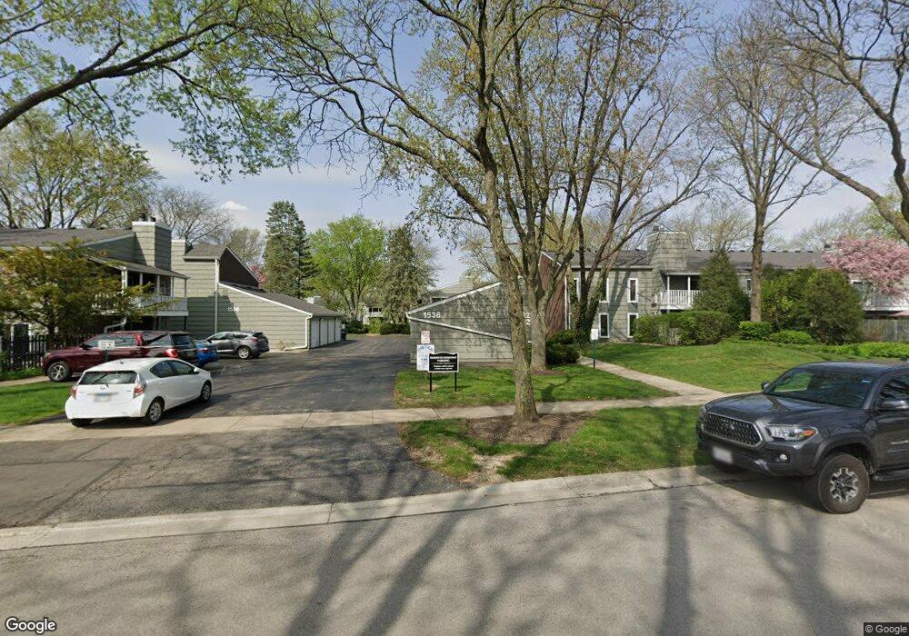
1526 Stonebridge Trail Wheaton, IL 60189
West Wheaton NeighborhoodEstimated Value: $241,000 - $261,000
2
Beds
2
Baths
1,246
Sq Ft
$200/Sq Ft
Est. Value
About This Home
This home is located at 1526 Stonebridge Trail, Wheaton, IL 60189 and is currently estimated at $249,399, approximately $200 per square foot. 1526 Stonebridge Trail is a home located in DuPage County with nearby schools including Madison Elementary School, Edison Middle School, and Wheaton Warrenville South High School.
Ownership History
Date
Name
Owned For
Owner Type
Purchase Details
Closed on
Apr 29, 2025
Sold by
Trust Number 983 and State Bank Of Geneva
Bought by
Pizzi Valerie Jantz
Current Estimated Value
Purchase Details
Closed on
Dec 7, 2018
Sold by
Rodgers Richard F and Rodgers Anne H
Bought by
The State Bank Og Geneva and Trust Number 983
Purchase Details
Closed on
Jul 15, 2015
Sold by
Cox Michael and Czuchajowska Alicja
Bought by
Rodgers Richard F and Rodgers Anne H
Purchase Details
Closed on
Jun 5, 2013
Sold by
Tack Jacqueline H
Bought by
Cox Michael and Czuchajowska Alicja
Create a Home Valuation Report for This Property
The Home Valuation Report is an in-depth analysis detailing your home's value as well as a comparison with similar homes in the area
Home Values in the Area
Average Home Value in this Area
Purchase History
| Date | Buyer | Sale Price | Title Company |
|---|---|---|---|
| Pizzi Valerie Jantz | $235,000 | None Listed On Document | |
| The State Bank Og Geneva | $146,000 | Greater Illinois Title | |
| Rodgers Richard F | $129,000 | Fidelity National Title | |
| Cox Michael | $109,000 | Chicago Title Insurance Comp |
Source: Public Records
Tax History
| Year | Tax Paid | Tax Assessment Tax Assessment Total Assessment is a certain percentage of the fair market value that is determined by local assessors to be the total taxable value of land and additions on the property. | Land | Improvement |
|---|---|---|---|---|
| 2024 | $3,754 | $66,085 | $5,323 | $60,762 |
| 2023 | $3,580 | $60,830 | $4,900 | $55,930 |
| 2022 | $3,016 | $49,420 | $4,630 | $44,790 |
| 2021 | $2,999 | $48,250 | $4,520 | $43,730 |
| 2020 | $2,987 | $47,800 | $4,480 | $43,320 |
| 2019 | $2,911 | $46,540 | $4,360 | $42,180 |
| 2018 | $2,757 | $43,950 | $4,120 | $39,830 |
| 2017 | $2,705 | $42,330 | $3,970 | $38,360 |
| 2016 | $2,656 | $40,640 | $3,810 | $36,830 |
| 2015 | $2,620 | $38,770 | $3,630 | $35,140 |
| 2014 | $3,650 | $50,880 | $4,750 | $46,130 |
| 2013 | $3,163 | $51,030 | $4,760 | $46,270 |
Source: Public Records
Map
Nearby Homes
- 2099 Creekside Dr Unit 1-4
- 1420 Stonebridge Trail Unit 1-3
- 1612 Stonebridge Trail
- 2043 Spring Green Dr
- 1442 Stonebridge Cir Unit I8
- 1462 Stonebridge Cir Unit F10
- 1620 Hemstock Ave
- 1533 S County Farm Rd Unit 1-4
- 1605 Burning Trail
- 1974 Wexford Cir Unit 123
- 1601 W Wiesbrook Rd
- 1S710 Shaffner Rd
- 1S728 Shaffner Rd
- Lot 1 Foothill Dr
- 1s050 Shaffner Rd
- 1110 S Gables Blvd
- 615 Polo Dr
- 1028 Lodalia Ct
- 25W773 Sunnyridge Ct
- 1021 Greenwood Dr
- 2091 Creekside Dr Unit 2-2
- 2091 Creekside Dr Unit 2-3
- 2091 Creekside Dr Unit 223
- 1536 Stonebridge Trail
- 2075 Creekside Dr Unit 311
- 2091 Creekside Dr
- 2051 Creekside Dr
- 1536 Stonebridge Trail Unit 514
- 1536 Stonebridge Trail Unit 1-2
- 1536 Stonebridge Trail Unit 1-1
- 1526 Stonebridge Trail Unit 612
- 2051 Creekside Dr Unit 2-1
- 2075 Creekside Dr Unit 2-4
- 1526 Stonebridge Trail Unit 1-4
- 1536 Stonebridge Trail Unit 2-3
- 1536 Stonebridge Trail Unit 2-2
- 1536 Stonebridge Trail Unit 2-1
- 2091 Creekside Dr Unit 212
- 1526 Stonebridge Trail Unit 1-3
- 2075 Creekside Dr Unit 1-2
Your Personal Tour Guide
Ask me questions while you tour the home.