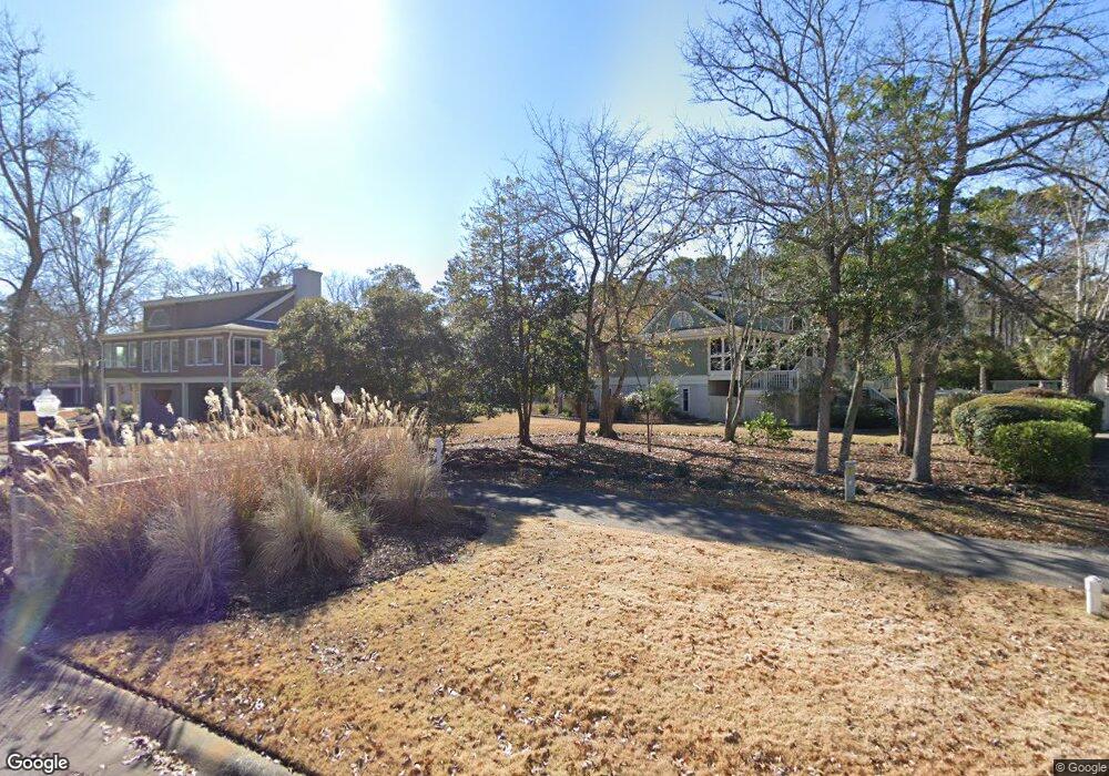
1526 Windsong Dr SW Ocean Isle Beach, NC 28469
Estimated Value: $327,323 - $413,000
3
Beds
2
Baths
1,464
Sq Ft
$250/Sq Ft
Est. Value
About This Home
This home is located at 1526 Windsong Dr SW, Ocean Isle Beach, NC 28469 and is currently estimated at $365,581, approximately $249 per square foot. 1526 Windsong Dr SW is a home located in Brunswick County with nearby schools including Union Elementary School, Shallotte Middle School, and West Brunswick High School.
Ownership History
Date
Name
Owned For
Owner Type
Purchase Details
Closed on
Dec 6, 2012
Sold by
Koch Martin F
Bought by
Paese Mark S and Paese Linda S
Current Estimated Value
Purchase Details
Closed on
Mar 17, 2006
Sold by
Mayo G Richard and Mayo Delores E
Bought by
Koch Doreen A
Home Financials for this Owner
Home Financials are based on the most recent Mortgage that was taken out on this home.
Original Mortgage
$211,500
Interest Rate
6.25%
Mortgage Type
New Conventional
Create a Home Valuation Report for This Property
The Home Valuation Report is an in-depth analysis detailing your home's value as well as a comparison with similar homes in the area
Home Values in the Area
Average Home Value in this Area
Purchase History
| Date | Buyer | Sale Price | Title Company |
|---|---|---|---|
| Paese Mark S | -- | None Available | |
| Koch Doreen A | $235,000 | None Available |
Source: Public Records
Mortgage History
| Date | Status | Borrower | Loan Amount |
|---|---|---|---|
| Previous Owner | Koch Doreen A | $211,500 | |
| Previous Owner | Koch Doreen A | $211,500 |
Source: Public Records
Tax History Compared to Growth
Tax History
| Year | Tax Paid | Tax Assessment Tax Assessment Total Assessment is a certain percentage of the fair market value that is determined by local assessors to be the total taxable value of land and additions on the property. | Land | Improvement |
|---|---|---|---|---|
| 2025 | -- | $251,820 | $36,000 | $215,820 |
| 2024 | $1,061 | $251,820 | $36,000 | $215,820 |
| 2023 | $1,141 | $251,820 | $36,000 | $215,820 |
| 2022 | $0 | $194,110 | $30,000 | $164,110 |
| 2021 | $0 | $194,110 | $30,000 | $164,110 |
| 2020 | $819 | $194,110 | $30,000 | $164,110 |
| 2019 | $1,127 | $31,580 | $30,000 | $1,580 |
| 2018 | $888 | $21,580 | $20,000 | $1,580 |
| 2017 | $844 | $21,580 | $20,000 | $1,580 |
| 2016 | $819 | $21,580 | $20,000 | $1,580 |
| 2015 | $819 | $148,230 | $20,000 | $128,230 |
| 2014 | $738 | $144,149 | $30,000 | $114,149 |
Source: Public Records
Map
Nearby Homes
- 1550 Windsong Dr SW
- 1546 Windsong Dr SW
- 1552 Windsong Dr SW
- 1596 Laurel Ct SW
- 1592 Laurel Ct SW
- Belair Plan at Creekview Landing
- Intruige Plan at Creekview Landing
- Baylor Plan at Creekview Landing
- Oceana Plan at Creekview Landing
- Nest Plan at Creekview Landing
- 1878 Goose Creek Rd SW
- 1819 Goose Creek Rd SW
- 1604 Windsong Dr SW
- 1326 Hewett Farms SE
- 1618 Winding Way SW
- 1602 Settlers Way SW Unit 81
- 1769 Oakbrook Dr SW
- 1634 Winding Way SW
- 1231 Daffodil Dr
- 3333 SW Wood Stork Dr
- 1530 Windsong Dr SW
- 1524 Windsong Dr SW
- 1534 Windsong Dr SW
- 1522 Windsong Dr SW
- 1520 Windsong Dr SW
- 1519 Horse Branch Rd SW
- 1535 Windsong Dr SW
- 1538 Windsong Dr SW
- 1513 Horse Branch Rd SW
- 1525 Windsong Dr SW
- 1542 Windsong Dr SW
- 1519 Windsong Dr SW
- 1541 Deer Pointe Ct SW
- 1543 Horse Branch Rd SW
- 20.+ Acres Landing SW
- 1408 Landing
- 1408 Sw Landing SW
- 1538 Deer Pointe Ct SW
- 1524 Horse Branch SW
- 1530 Horse Branch Rd SW