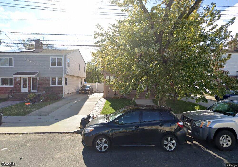
15260 10th Ave Whitestone, NY 11357
Whitestone NeighborhoodEstimated Value: $983,000 - $1,041,000
--
Bed
--
Bath
1,505
Sq Ft
$677/Sq Ft
Est. Value
About This Home
This home is located at 15260 10th Ave, Whitestone, NY 11357 and is currently estimated at $1,018,147, approximately $676 per square foot. 15260 10th Ave is a home located in Queens County with nearby schools including J.H.S. 194 William Carr, Bayside High School, and Holy Cross School Greek Orthodox Day School.
Ownership History
Date
Name
Owned For
Owner Type
Purchase Details
Closed on
Mar 20, 2024
Sold by
Mulla Julian
Bought by
Mulla Julian and Mulla Valbona
Current Estimated Value
Purchase Details
Closed on
Jun 3, 2014
Sold by
Mino Joan
Bought by
Mulla Julian
Home Financials for this Owner
Home Financials are based on the most recent Mortgage that was taken out on this home.
Original Mortgage
$260,000
Outstanding Balance
$197,574
Interest Rate
4.33%
Mortgage Type
New Conventional
Estimated Equity
$820,573
Create a Home Valuation Report for This Property
The Home Valuation Report is an in-depth analysis detailing your home's value as well as a comparison with similar homes in the area
Home Values in the Area
Average Home Value in this Area
Purchase History
| Date | Buyer | Sale Price | Title Company |
|---|---|---|---|
| Mulla Julian | -- | -- | |
| Mulla Julian | -- | -- | |
| Mulla Julian | $480,000 | -- | |
| Mulla Julian | $480,000 | -- |
Source: Public Records
Mortgage History
| Date | Status | Borrower | Loan Amount |
|---|---|---|---|
| Open | Mulla Julian | $260,000 | |
| Closed | Mulla Julian | $260,000 |
Source: Public Records
Tax History Compared to Growth
Tax History
| Year | Tax Paid | Tax Assessment Tax Assessment Total Assessment is a certain percentage of the fair market value that is determined by local assessors to be the total taxable value of land and additions on the property. | Land | Improvement |
|---|---|---|---|---|
| 2025 | $10,132 | $53,473 | $14,893 | $38,580 |
| 2024 | $10,132 | $50,447 | $13,918 | $36,529 |
| 2023 | $9,559 | $47,592 | $13,008 | $34,584 |
| 2022 | $9,490 | $62,520 | $17,580 | $44,940 |
| 2021 | $9,941 | $58,020 | $17,580 | $40,440 |
| 2020 | $9,432 | $59,280 | $17,580 | $41,700 |
| 2019 | $8,794 | $50,760 | $17,580 | $33,180 |
| 2018 | $8,085 | $39,660 | $17,580 | $22,080 |
| 2017 | $8,076 | $39,616 | $17,299 | $22,317 |
| 2016 | $7,920 | $39,616 | $17,299 | $22,317 |
| 2015 | $1,248 | $30,286 | $16,294 | $13,992 |
| 2014 | $1,248 | $28,573 | $15,980 | $12,593 |
Source: Public Records
Map
Nearby Homes
- 15427 11th Ave
- 152-39 12th Rd
- 10-16 157th St
- 15425 13th Ave
- 157-60 12th Rd
- 1001 157th St
- 12-10 151st Place
- 15405 Riverside Dr Unit 12B
- 151-60 7th Ave
- 7-22 151st Place
- 154-60 Riverside Dr
- 7-35 Leggett Place
- 15445 Riverside Dr
- 154-81 Riverside Dr
- 15751 12th Rd
- 150-30 12th Ave Unit 2B
- 806 Clintonville St
- 150-24 12th Rd
- 150-31 12th Ave Unit 112
- 150-31 12th Ave