15261 W Canter Ct Rathdrum, ID 83858
Estimated Value: $1,005,000 - $1,142,000
4
Beds
3
Baths
3,412
Sq Ft
$312/Sq Ft
Est. Value
About This Home
This home is located at 15261 W Canter Ct, Rathdrum, ID 83858 and is currently estimated at $1,064,757, approximately $312 per square foot. 15261 W Canter Ct is a home located in Kootenai County with nearby schools including Twin Lakes Elementary School, Lakeland Middle School, and Lakeland Senior High School.
Ownership History
Date
Name
Owned For
Owner Type
Purchase Details
Closed on
May 26, 2017
Sold by
Hankins Kenneth A and Hankins Donna L
Bought by
Schneidereit Walter J and Schneidereit Shellie M
Current Estimated Value
Purchase Details
Closed on
Jul 10, 2009
Sold by
Hankins Donna L
Bought by
Hankins Kenneth A
Home Financials for this Owner
Home Financials are based on the most recent Mortgage that was taken out on this home.
Original Mortgage
$336,000
Interest Rate
4.87%
Mortgage Type
New Conventional
Purchase Details
Closed on
Jun 8, 2005
Sold by
Needham Hubbard S and Scott Geraldine L
Bought by
Needham Hubbard S and Scott Geraldine L
Create a Home Valuation Report for This Property
The Home Valuation Report is an in-depth analysis detailing your home's value as well as a comparison with similar homes in the area
Home Values in the Area
Average Home Value in this Area
Purchase History
| Date | Buyer | Sale Price | Title Company |
|---|---|---|---|
| Schneidereit Walter J | -- | North Idaho Title Company Co | |
| Hankins Kenneth A | -- | -- | |
| Needham Hubbard S | -- | -- |
Source: Public Records
Mortgage History
| Date | Status | Borrower | Loan Amount |
|---|---|---|---|
| Previous Owner | Hankins Kenneth A | $336,000 |
Source: Public Records
Tax History Compared to Growth
Tax History
| Year | Tax Paid | Tax Assessment Tax Assessment Total Assessment is a certain percentage of the fair market value that is determined by local assessors to be the total taxable value of land and additions on the property. | Land | Improvement |
|---|---|---|---|---|
| 2025 | $1,538 | $863,846 | $320,416 | $543,430 |
| 2024 | $1,538 | $890,786 | $345,416 | $545,370 |
| 2023 | $1,538 | $927,138 | $305,416 | $621,722 |
| 2022 | $857 | $1,017,250 | $301,093 | $716,157 |
| 2021 | $860 | $644,244 | $240,544 | $403,700 |
| 2020 | $1,005 | $533,578 | $175,408 | $358,170 |
| 2019 | $1,199 | $498,218 | $150,408 | $347,810 |
| 2018 | $2,636 | $461,118 | $140,408 | $320,710 |
| 2017 | $3,676 | $406,409 | $117,299 | $289,110 |
| 2016 | $3,148 | $374,749 | $102,299 | $272,450 |
| 2015 | $3,195 | $353,330 | $80,000 | $273,330 |
| 2013 | $3,965 | $333,454 | $81,354 | $252,100 |
Source: Public Records
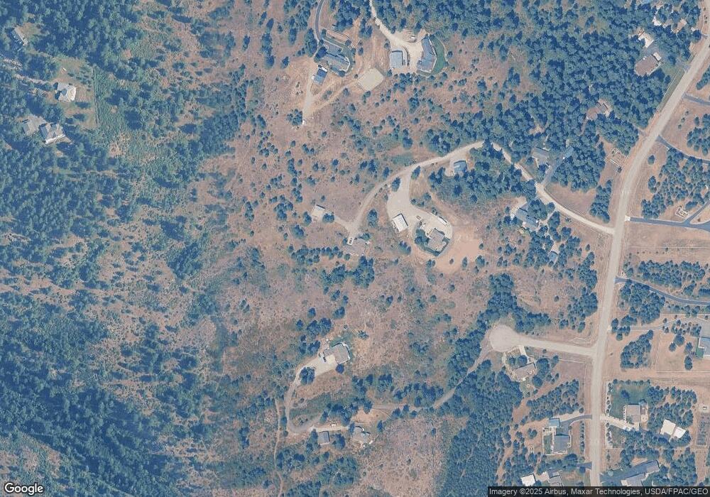
Map
Nearby Homes
- 10320 N Payment Peak Rd
- 10653 N Payment Peak Rd
- NKA W Julia Dr
- NKA N Woodlake Dr
- 11470 N Church Rd
- NKA N Cliff House Rd
- NNA N Cliff House Rd
- 16691 W Hollister Hills Dr
- 16364 W Hollister Hills Dr
- 16024 W Hollister Hills Dr
- 16443 W Sala Ln
- 12076 N Wildwood Point Rd
- 11248 N Bruss Rd
- 11583 N Sunrise Ct
- 17008 W Kathleen Ave
- 16154 N Smith Ave
- 17372 W Kathleen Ave
- 17580 W Santiago Cir
- 17940 Sheltered Ct
- 13771 N Delta Ln
- 15150 W Canter Ct
- 15008 W Delmar Ct
- 14964 W Canter Ct
- 15054 W Canter Ct
- 15227 W Pauline Trail
- 15000 W Delmar Ct
- 15222 W Pauline Trail
- 14971 W Canter Ct
- 14938 W Delmar Ct
- 15630 W Hoyt Rd
- 0 Hoyt Rd Lt 6 Blk 1
- 0 Hoyt Rd Lt 2 Blk 1
- 0 Hoyt Rd Lt 9 Blk 1
- 15314 W Hoyt Rd
- 15264 W Hoyt Rd
- 15303 W Hoyt Rd
- 15880 W Julia Dr
- 15883 W Julia Dr
- 15317 W Hoyt Rd
- 15696 W Hoyt Rd