15262 Weant Rd Dozier, AL 36028
Estimated Value: $659,000
--
Bed
4
Baths
2,490
Sq Ft
$265/Sq Ft
Est. Value
About This Home
This home is located at 15262 Weant Rd, Dozier, AL 36028 and is currently estimated at $659,000, approximately $264 per square foot. 15262 Weant Rd is a home located in Covington County with nearby schools including Red Level Elementary School and Red Level High School.
Ownership History
Date
Name
Owned For
Owner Type
Purchase Details
Closed on
Dec 16, 2021
Sold by
Griffin Kenneth Kevin and Griffin Elizabeth C
Bought by
Owens Robert E and Owens Jennifer W
Current Estimated Value
Home Financials for this Owner
Home Financials are based on the most recent Mortgage that was taken out on this home.
Original Mortgage
$100,000
Outstanding Balance
$91,759
Interest Rate
3.09%
Estimated Equity
$582,241
Purchase Details
Closed on
Mar 1, 2010
Sold by
Etheridge Terry Dewayne and Etheridge Becky
Bought by
Carter Elizabeth Chappell and Griffin Kenneth Kevin
Home Financials for this Owner
Home Financials are based on the most recent Mortgage that was taken out on this home.
Original Mortgage
$44,868
Interest Rate
5%
Mortgage Type
Future Advance Clause Open End Mortgage
Create a Home Valuation Report for This Property
The Home Valuation Report is an in-depth analysis detailing your home's value as well as a comparison with similar homes in the area
Home Values in the Area
Average Home Value in this Area
Purchase History
| Date | Buyer | Sale Price | Title Company |
|---|---|---|---|
| Owens Robert E | $620,000 | None Available | |
| Carter Elizabeth Chappell | -- | None Available |
Source: Public Records
Mortgage History
| Date | Status | Borrower | Loan Amount |
|---|---|---|---|
| Open | Owens Robert E | $100,000 | |
| Open | Owens Robert E | $404,100 | |
| Closed | Owens Robert E | $102,000 | |
| Previous Owner | Carter Elizabeth Chappell | $44,868 |
Source: Public Records
Tax History Compared to Growth
Tax History
| Year | Tax Paid | Tax Assessment Tax Assessment Total Assessment is a certain percentage of the fair market value that is determined by local assessors to be the total taxable value of land and additions on the property. | Land | Improvement |
|---|---|---|---|---|
| 2024 | $115 | $5,480 | $1,720 | $3,760 |
| 2023 | $116 | $13,180 | $9,350 | $3,830 |
| 2022 | $768 | $37,970 | $10,540 | $27,430 |
| 2021 | $687 | $33,278 | $8,808 | $24,470 |
| 2020 | $698 | $27,480 | $2,560 | $24,920 |
| 2019 | $654 | $25,860 | $2,580 | $23,280 |
| 2018 | $662 | $26,160 | $2,660 | $23,500 |
| 2017 | $653 | $0 | $0 | $0 |
| 2016 | $1,353 | $0 | $0 | $0 |
| 2015 | $58 | $0 | $0 | $0 |
| 2014 | $57 | $0 | $0 | $0 |
| 2013 | $56 | $16,300 | $16,300 | $0 |
Source: Public Records
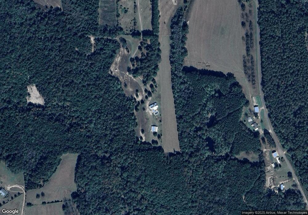
Map
Nearby Homes
- 2.9 Jasper Rd
- 15972 Bridge Creek Ln
- 30937 Rawls Point Rd
- 30959 Rawls Point Rd
- 30816 Wateredge Ln
- 14975 Pier 7 Rd
- 7 Greenbriar Loop
- 30779 Destiny Ln
- 00 Pier 7 Rd
- 15479 Birdhouse Rd
- Boston Rd
- 16730 La Hanina Ln
- 15495 Dunns Bridge Rd
- 16881 Canal Rd
- 31436 Riverview Rd
- 29935 Twin Oaks Rd
- 00 Twin Oaks Rd
- 0 Twin Oaks Rd
- 14788 F M Jones Rd
- Lot 1 Sunshine Rd
- 15242 Weant Rd
- 15294 Weant Rd
- 15850 Weant Rd
- 15054 Weant Rd
- 14750 Sawyer Creek Rd
- 14857 Glen Ln
- 15500 Weant Rd
- 0 Roundtree Rd
- 15261 Weant Rd
- 14558 Weant Rd
- 14740 Weant Rd
- 15331 Whit Dr
- 14961 Weant Rd
- 14437 Weant Rd
- 33015 Us Highway 29
- 33015 Us Highway 29
- 32494 Alabama 15
- 32322 Wheeler Rd
- 31614 Clearview Rd
- 0000 Hwy 29 N