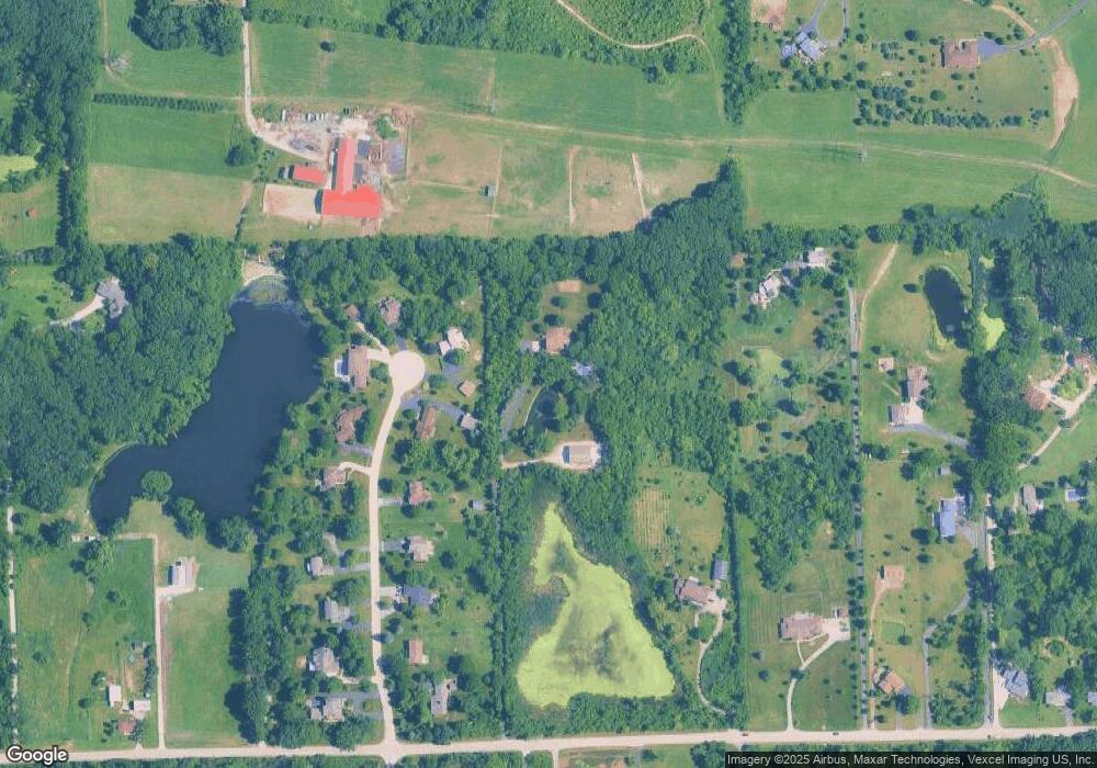
15264 W 147th St Lockport, IL 60491
Estimated Value: $732,263 - $999,000
--
Bed
--
Bath
3,562
Sq Ft
$232/Sq Ft
Est. Value
About This Home
This home is located at 15264 W 147th St, Lockport, IL 60491 and is currently estimated at $825,066, approximately $231 per square foot. 15264 W 147th St is a home located in Will County with nearby schools including Reed Elementary School, Walsh Elementary School, and Ludwig Elementary School.
Ownership History
Date
Name
Owned For
Owner Type
Purchase Details
Closed on
Nov 1, 2016
Sold by
First Midwest Bank Joliet
Bought by
Dietz Arthur V and Dietz Margaret L
Current Estimated Value
Purchase Details
Closed on
Mar 20, 2016
Sold by
Dietz Arthur V and Dietz Margaret L
Bought by
First Midwest Bank and Trust #9030
Purchase Details
Closed on
Feb 8, 2012
Sold by
Dietz Arthur D and Dietz Margaret L
Bought by
First Mdiwest Bank
Purchase Details
Closed on
Nov 3, 2011
Sold by
First Midwest Bank
Bought by
Dietz Arthur V and Dietz Margaret L
Home Financials for this Owner
Home Financials are based on the most recent Mortgage that was taken out on this home.
Original Mortgage
$409,500
Interest Rate
3.98%
Mortgage Type
New Conventional
Purchase Details
Closed on
Dec 23, 2010
Sold by
Dietz Arthur V and Dietz Margaret L
Bought by
First Midwest Bank and Trust #9030
Purchase Details
Closed on
Jun 15, 1990
Bought by
Dietz Arthur V M
Create a Home Valuation Report for This Property
The Home Valuation Report is an in-depth analysis detailing your home's value as well as a comparison with similar homes in the area
Home Values in the Area
Average Home Value in this Area
Purchase History
| Date | Buyer | Sale Price | Title Company |
|---|---|---|---|
| Dietz Arthur V | -- | Attorney | |
| First Midwest Bank | -- | Attorney | |
| First Mdiwest Bank | -- | None Available | |
| Dietz Arthur V | -- | Prism Title | |
| First Midwest Bank | -- | None Available | |
| Dietz Arthur V M | $102,500 | -- |
Source: Public Records
Mortgage History
| Date | Status | Borrower | Loan Amount |
|---|---|---|---|
| Previous Owner | Dietz Arthur V | $409,500 |
Source: Public Records
Tax History Compared to Growth
Tax History
| Year | Tax Paid | Tax Assessment Tax Assessment Total Assessment is a certain percentage of the fair market value that is determined by local assessors to be the total taxable value of land and additions on the property. | Land | Improvement |
|---|---|---|---|---|
| 2024 | $15,027 | $238,724 | $78,719 | $160,005 |
| 2023 | $15,027 | $216,392 | $71,355 | $145,037 |
| 2022 | $13,095 | $197,432 | $52,789 | $144,643 |
| 2021 | $12,427 | $187,050 | $50,013 | $137,037 |
| 2020 | $12,463 | $180,168 | $48,173 | $131,995 |
| 2019 | $12,063 | $173,321 | $46,342 | $126,979 |
| 2018 | $11,858 | $167,678 | $45,811 | $121,867 |
| 2017 | $11,633 | $162,984 | $44,529 | $118,455 |
| 2016 | $11,367 | $157,549 | $43,044 | $114,505 |
| 2015 | $10,737 | $151,635 | $41,428 | $110,207 |
| 2014 | $10,737 | $148,502 | $40,572 | $107,930 |
| 2013 | $10,737 | $148,502 | $40,572 | $107,930 |
Source: Public Records
Map
Nearby Homes
- 15551 W 143rd St
- 14204 Lemont Rd
- 14000 West St
- 14034 S Elm St
- 14761 Marilynn Ln
- 13932 S Elm St
- 13920 Oak St
- 13920 S Elm St
- 13908 S Elm St
- 16045 W 139th St
- 15629 W 139th St
- 16100 S Gougar Rd
- 15521 S Mallard Ln
- 14848 W Ginger Ln
- 14459 Gatses Ln
- 14840 W 139th St
- 15450 W Purley Ct
- 14655 W Walnut Ave
- 14029 Cokes Rd
- 13714 S Janas Pkwy
- 14527 S Hawthorne Ct N
- 14543 S Hawthorne Ct N
- 14520 S Hawthorne Ct N
- 14561 S Hawthorne Ct N
- 14528 S Hawthorne Ct N
- 14546 S Hawthorne Ct N
- 15136 W 147th St
- 14700 S Hawthorne Ct S
- 14611 S Hawthorne Ct N
- 15212 W 147th St
- 14627 S Hawthorne Ct N
- 14612 S Hawthorne Ct N
- 14639 S Hawthorne Ct N
- 14628 S Hawthorne Ct N
- 15102 W 147th St
- 15150 W 147th St
- 14655 S Hawthorne Ct N Unit 1
- 15131 W 143rd St
- 14642 S Hawthorne Ct N
- 15114 W 147th St