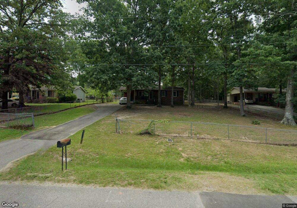
1527 Carmel Rd Lancaster, SC 29720
Estimated Value: $157,067 - $200,000
Studio
1
Bath
1,025
Sq Ft
$178/Sq Ft
Est. Value
About This Home
This home is located at 1527 Carmel Rd, Lancaster, SC 29720 and is currently estimated at $182,767, approximately $178 per square foot. 1527 Carmel Rd is a home located in Lancaster County with nearby schools including Erwin Elementary School, South Middle School, and Lancaster High School.
Ownership History
Date
Name
Owned For
Owner Type
Purchase Details
Closed on
Mar 19, 2021
Sold by
Robinson Timothy E
Bought by
Robinson Timothy E and Robinson Carol
Current Estimated Value
Purchase Details
Closed on
Mar 31, 2005
Sold by
Hilton Douglas R and Hilton Douglas
Bought by
Robinson Timothy E
Home Financials for this Owner
Home Financials are based on the most recent Mortgage that was taken out on this home.
Original Mortgage
$78,000
Outstanding Balance
$38,552
Interest Rate
5.74%
Mortgage Type
New Conventional
Estimated Equity
$144,215
Purchase Details
Closed on
Apr 10, 2002
Sold by
Hilton Angela L
Bought by
Hilton Douglas
Create a Home Valuation Report for This Property
The Home Valuation Report is an in-depth analysis detailing your home's value as well as a comparison with similar homes in the area
Home Values in the Area
Average Home Value in this Area
Purchase History
| Date | Buyer | Sale Price | Title Company |
|---|---|---|---|
| Robinson Timothy E | -- | None Available | |
| Robinson Timothy E | $78,000 | -- | |
| Hilton Douglas | $4,500 | -- |
Source: Public Records
Mortgage History
| Date | Status | Borrower | Loan Amount |
|---|---|---|---|
| Open | Robinson Timothy E | $78,000 |
Source: Public Records
Tax History
| Year | Tax Paid | Tax Assessment Tax Assessment Total Assessment is a certain percentage of the fair market value that is determined by local assessors to be the total taxable value of land and additions on the property. | Land | Improvement |
|---|---|---|---|---|
| 2025 | $1,581 | $5,485 | $432 | $5,053 |
| 2024 | $1,581 | $4,770 | $600 | $4,170 |
| 2023 | $1,579 | $4,770 | $600 | $4,170 |
| 2022 | $1,573 | $4,770 | $600 | $4,170 |
| 2021 | $474 | $3,180 | $400 | $2,780 |
| 2020 | $461 | $3,012 | $400 | $2,612 |
| 2019 | $1,018 | $3,012 | $400 | $2,612 |
| 2018 | $979 | $3,012 | $400 | $2,612 |
| 2017 | $451 | $0 | $0 | $0 |
| 2016 | $440 | $0 | $0 | $0 |
| 2015 | $364 | $0 | $0 | $0 |
| 2014 | $364 | $0 | $0 | $0 |
| 2013 | $364 | $0 | $0 | $0 |
Source: Public Records
Map
Nearby Homes
- 1428 Boxwood Ave
- 1519 Oakwood Ave
- 1250 Hampton Grace Ave
- 1481 Grace Ave
- 2022 Jack Robertson Ln
- 1795 Grace Ave
- 951 Confederate Ave
- 1048 Old Thompson Ave
- 968 Hampton Grace Ave
- 1337 Old Greenbriar Dr
- 1329 Old Greenbriar Dr
- 1114 Grace Ave
- 1746 Grace Ave Unit 1
- 1080 Grace Ave
- 1220 Old Greenbriar Dr
- 1801 Grace Ave
- 1500 Victoria St Unit 4
- 5.45 acres Memorial Park Rd
- 3.04 acres Memorial Park Rd
- 1501 Victoria St Unit 11
- 1521 Carmel Rd
- 1537 Carmel Rd
- 1644 Pinewood Ave
- 1515 Carmel Rd
- 1545 Carmel Rd
- 1636 Pinewood Ave
- 1652 Pinewood Ave
- 1528 Carmel Rd
- 1522 Carmel Rd
- 1628 Pinewood Ave
- 1507 Carmel Rd
- 1553 Carmel Rd
- 1514 Carmel Rd
- 1664 Pinewood Ave
- 1620 Pinewood Ave
- 1499 Carmel Rd
- 1612 Pinewood Ave
- 1469 Pink Dogwood Ave
- 1502 Carmel Rd
- 1561 Carmel Rd
Your Personal Tour Guide
Ask me questions while you tour the home.