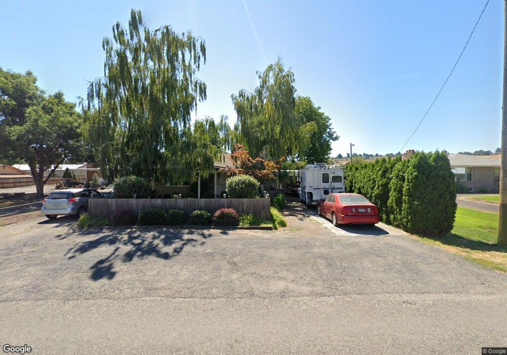
1527 Chestnut St Clarkston, WA 99403
Estimated Value: $284,701 - $338,000
--
Bed
--
Bath
1,088
Sq Ft
$291/Sq Ft
Est. Value
About This Home
This home is located at 1527 Chestnut St, Clarkston, WA 99403 and is currently estimated at $316,675, approximately $291 per square foot. 1527 Chestnut St is a home located in Asotin County with nearby schools including Highland Elementary School, Lincoln Middle School, and Charles Francis Adams High School.
Ownership History
Date
Name
Owned For
Owner Type
Purchase Details
Closed on
Feb 9, 2010
Sold by
Nuxoll Patrick J and Nuxoll Angela M
Bought by
Nuxoll Neil P
Current Estimated Value
Home Financials for this Owner
Home Financials are based on the most recent Mortgage that was taken out on this home.
Original Mortgage
$107,025
Interest Rate
4.87%
Mortgage Type
FHA
Create a Home Valuation Report for This Property
The Home Valuation Report is an in-depth analysis detailing your home's value as well as a comparison with similar homes in the area
Home Values in the Area
Average Home Value in this Area
Purchase History
| Date | Buyer | Sale Price | Title Company |
|---|---|---|---|
| Nuxoll Neil P | $109,000 | First American Title |
Source: Public Records
Mortgage History
| Date | Status | Borrower | Loan Amount |
|---|---|---|---|
| Closed | Nuxoll Neil P | $107,025 |
Source: Public Records
Tax History Compared to Growth
Tax History
| Year | Tax Paid | Tax Assessment Tax Assessment Total Assessment is a certain percentage of the fair market value that is determined by local assessors to be the total taxable value of land and additions on the property. | Land | Improvement |
|---|---|---|---|---|
| 2025 | $1,772 | $193,900 | $30,000 | $163,900 |
| 2023 | $1,772 | $169,600 | $30,000 | $139,600 |
| 2022 | $1,871 | $169,600 | $30,000 | $139,600 |
| 2021 | $1,661 | $169,600 | $30,000 | $139,600 |
| 2020 | $1,541 | $146,200 | $44,600 | $101,600 |
| 2019 | $1,449 | $146,200 | $44,600 | $101,600 |
| 2018 | $1,782 | $146,200 | $44,600 | $101,600 |
| 2017 | $1,631 | $146,200 | $44,600 | $101,600 |
| 2016 | $1,631 | $129,100 | $35,000 | $94,100 |
| 2015 | $145 | $125,500 | $35,000 | $90,500 |
| 2013 | $1,464 | $122,900 | $35,000 | $87,900 |
Source: Public Records
Map
Nearby Homes
- 1039 15th St
- 1485 Sycamore St
- 1117 15th St
- 841 van Arsdol St
- 922 16th St
- 1450 & 1454 Elm St
- 708 16th St
- 811 14th St
- 1368 Chestnut St
- 1522 Highland Ave
- 1664 Bennett Hill Dr
- 1669 Dustan Loop Unit 30
- LOT 10 Bennett Hill Dr
- 1817 Frederickson Dr
- 1661 Dustan Loop
- 1661 Dustan Loop Unit 31
- 1665 Dustan Loop
- 1665 Dustan Loop Unit 29
- 1697 Bennett Hill Dr
- 1330 Highland Ave
- 1535 Chestnut St
- 1521 Chestnut St
- 1539 Chestnut St
- 1517 Chestnut St
- 1510 Chestnut St
- 1549 Chestnut St
- 1526 Chestnut St Unit 910 15th street
- 1538 Chestnut St
- 1505 Chestnut St
- 1550 Chestnut St
- 1028 15th St
- 1014 15th St
- 1557 Chestnut St
- 914 15th St
- 1562 Chestnut St
- 1561 Chestnut St
- 910 15th St
- 906 15th St
- 1489 Chestnut St