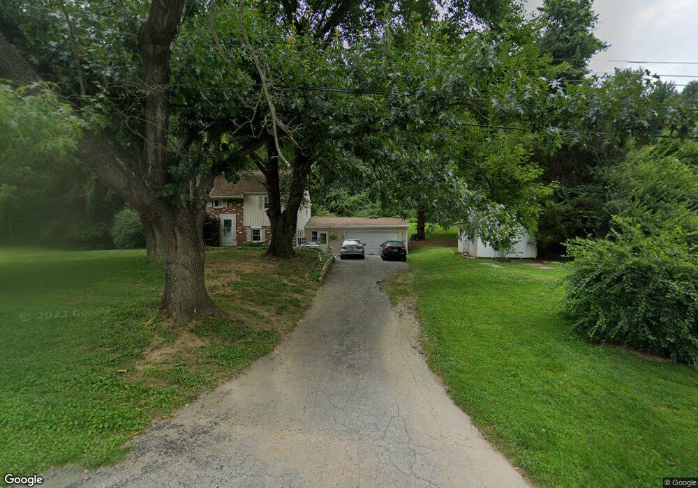
1527 Montvale Cir West Chester, PA 19380
Estimated Value: $467,000 - $558,000
3
Beds
2
Baths
1,436
Sq Ft
$357/Sq Ft
Est. Value
About This Home
This home is located at 1527 Montvale Cir, West Chester, PA 19380 and is currently estimated at $512,700, approximately $357 per square foot. 1527 Montvale Cir is a home located in Chester County with nearby schools including Bradford Heights Elementary School, Downingtown Middle School, and Downingtown High School West.
Ownership History
Date
Name
Owned For
Owner Type
Purchase Details
Closed on
Feb 20, 1998
Sold by
Anderson Douglas F and Anderson Linda L
Bought by
Laird Stephanie M
Current Estimated Value
Home Financials for this Owner
Home Financials are based on the most recent Mortgage that was taken out on this home.
Original Mortgage
$118,750
Outstanding Balance
$20,742
Interest Rate
6.85%
Estimated Equity
$491,958
Create a Home Valuation Report for This Property
The Home Valuation Report is an in-depth analysis detailing your home's value as well as a comparison with similar homes in the area
Home Values in the Area
Average Home Value in this Area
Purchase History
| Date | Buyer | Sale Price | Title Company |
|---|---|---|---|
| Laird Stephanie M | $125,000 | -- |
Source: Public Records
Mortgage History
| Date | Status | Borrower | Loan Amount |
|---|---|---|---|
| Open | Laird Stephanie M | $118,750 |
Source: Public Records
Tax History Compared to Growth
Tax History
| Year | Tax Paid | Tax Assessment Tax Assessment Total Assessment is a certain percentage of the fair market value that is determined by local assessors to be the total taxable value of land and additions on the property. | Land | Improvement |
|---|---|---|---|---|
| 2025 | $4,623 | $133,570 | $39,380 | $94,190 |
| 2024 | $4,623 | $133,570 | $39,380 | $94,190 |
| 2023 | $4,489 | $133,570 | $39,380 | $94,190 |
| 2022 | $4,378 | $133,570 | $39,380 | $94,190 |
| 2021 | $4,305 | $133,570 | $39,380 | $94,190 |
| 2020 | $4,281 | $133,570 | $39,380 | $94,190 |
| 2019 | $4,214 | $133,570 | $39,380 | $94,190 |
| 2018 | $4,214 | $133,570 | $39,380 | $94,190 |
| 2017 | $4,214 | $133,570 | $39,380 | $94,190 |
| 2016 | $3,896 | $133,570 | $39,380 | $94,190 |
| 2015 | $3,896 | $133,570 | $39,380 | $94,190 |
| 2014 | $3,896 | $133,570 | $39,380 | $94,190 |
Source: Public Records
Map
Nearby Homes
- 1737 Shadyside Rd Unit AP
- 1737 Shadyside Rd
- 1737 Shadyside Rd Unit BP
- 1565 Tattersall Way
- 1052 Appleville Rd
- 1558 Tattersall Way
- 1127 Oak Hollow Dr
- 1154 St Andrews Dr
- 1664 Royal Berkshire Cir
- 1624 Shadyside Rd
- 1331 Piedmont Dr
- 1209 New Hampshire Ln
- 1300 Shadyside Rd
- 1522 Doyle Dr
- 1628 S Glenside Rd
- 1617 S Glenside Rd
- 1236 Shadyside Rd
- 1444 Telegraph Rd
- 704 Shagbark Dr
- 0 Glenside Rd Unit PACT2071490
- 1157 Edgemont Dr
- 1523 Montvale Cir
- 1153 Edgemont Dr
- 1528 Montvale Cir
- 1163 Edgemont Dr
- 1532 Montvale Cir
- 1162 Edgemont Dr
- 1534 Montvale Cir
- 1515 Montvale Cir
- 1158 Edgemont Dr
- 1536 Montvale Cir
- 1503 Sylvan Dr
- 1167 Edgemont Dr
- 1152 Edgemont Dr
- 1168 Edgemont Dr
- 1168 Marshallton Thorndale Rd
- 1520 Montvale Cir
- 1513 Montvale Cir
- 1540 Montvale Cir
- 1164 Marshallton Thorndale Rd