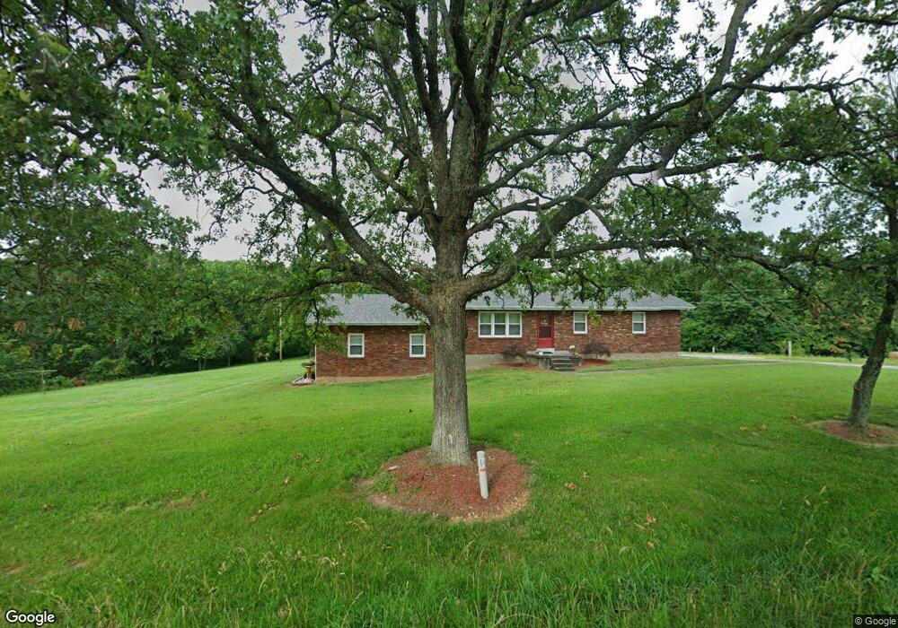
15271 Highway T Perryville, MO 63775
Estimated Value: $216,402 - $293,000
4
Beds
1
Bath
1,176
Sq Ft
$210/Sq Ft
Est. Value
About This Home
This home is located at 15271 Highway T, Perryville, MO 63775 and is currently estimated at $246,601, approximately $209 per square foot. 15271 Highway T is a home located in Perry County with nearby schools including Perryville Primary Center, Perryville Elementary School, and Perry County Middle School.
Ownership History
Date
Name
Owned For
Owner Type
Purchase Details
Closed on
Jul 29, 2014
Sold by
Kennon Alan L and Kennon Brenda L
Bought by
Pippin Angela M
Current Estimated Value
Home Financials for this Owner
Home Financials are based on the most recent Mortgage that was taken out on this home.
Original Mortgage
$84,000
Outstanding Balance
$64,265
Interest Rate
4.2%
Mortgage Type
New Conventional
Estimated Equity
$182,336
Purchase Details
Closed on
Jul 7, 2003
Bought by
Pippin Angela M
Create a Home Valuation Report for This Property
The Home Valuation Report is an in-depth analysis detailing your home's value as well as a comparison with similar homes in the area
Home Values in the Area
Average Home Value in this Area
Purchase History
| Date | Buyer | Sale Price | Title Company |
|---|---|---|---|
| Pippin Angela M | $105,000 | -- | |
| Pippin Angela M | -- | -- |
Source: Public Records
Mortgage History
| Date | Status | Borrower | Loan Amount |
|---|---|---|---|
| Open | Pippin Angela M | $84,000 |
Source: Public Records
Tax History Compared to Growth
Tax History
| Year | Tax Paid | Tax Assessment Tax Assessment Total Assessment is a certain percentage of the fair market value that is determined by local assessors to be the total taxable value of land and additions on the property. | Land | Improvement |
|---|---|---|---|---|
| 2024 | $1,116 | $24,980 | $6,108 | $18,872 |
| 2023 | $1,112 | $24,980 | $6,108 | $18,872 |
| 2022 | $1,068 | $23,962 | $5,090 | $18,872 |
| 2021 | $1,069 | $23,962 | $5,090 | $18,872 |
| 2020 | $1,036 | $22,238 | $4,710 | $17,528 |
| 2019 | $1,034 | $22,238 | $4,710 | $17,528 |
| 2018 | $823 | $20,465 | $2,375 | $18,090 |
| 2017 | $823 | $20,465 | $2,375 | $18,090 |
| 2016 | $823 | $19,110 | $1,995 | $17,115 |
| 2015 | -- | $19,110 | $1,995 | $17,115 |
| 2014 | -- | $19,110 | $1,995 | $17,115 |
Source: Public Records
Map
Nearby Homes
- 2084 Sheltered Way
- 1033 Port Perry Dr
- 1034 Port Perry Dr
- 2116 Marina Loop
- 1048 Erie Trail Dr
- 1003 Port Perry Dr
- 5046 Port Perry Dr
- 1002 Port Perry Dr
- 1028 Port Perry Dr
- 1053 Erie Trail Dr
- 1039 Erie Trail Dr
- 2010 Port Perry Dr
- 5134 Northview Dr
- 5149 N View Loop
- 5152 Big Dipper Dr
- 5137 N View Dr
- 5134 N View Dr
- 5096 Big Dipper Dr
- 5101 W Loop Dr
- 1203 E Lake Dr
- 2150 Port Perry Dr
- 2148 Port Perry Dr
- 2136 Port Perry Dr
- 0 Lt 3 Port Perry Pt8 Tanglewood Trail Unit 22030437
- 2100 Port Perry Dr
- 15258 Hwy T
- 2170 Port Perry Dr
- 2133 Port Perry Dr
- 2098 Port Perry Dr
- 2102 Sheltered Way
- 2146 Port Perry Dr
- 2147 Port Perry Dr
- 2095 Port Perry Dr
- 2104 Sheltered Way
- 2108 Sheltered Way
- 2091 Sheltered Way
- 2128 Port Perry Dr
- 2149 Port Perry Dr
- 2110 Sheltered Way