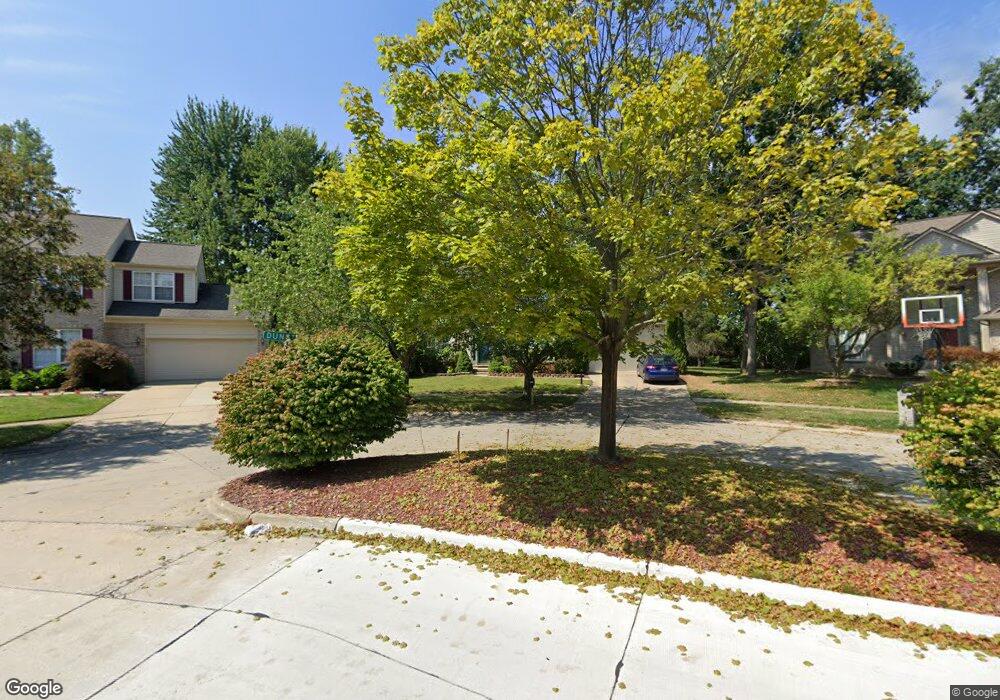
1528 Dunston Rd Canton, MI 48188
Estimated Value: $440,000 - $562,000
About This Home
This home is located at 1528 Dunston Rd, Canton, MI 48188 and is currently estimated at $489,975, approximately $217 per square foot. 1528 Dunston Rd is a home located in Wayne County with nearby schools including Canton High School, Salem High School, and Plymouth High School.
Ownership History
We collect this data history from publicly available records. To have your information removed, we recommend requesting removal directly through your county’s website.
Purchase Details
Purchase Details
Home Values in the Area
Average Home Value in this Area
Purchase History
We collect this data history from publicly available records. To have your information removed, we recommend requesting removal directly through your county’s website.
| Date | Buyer | Sale Price | Title Company |
|---|---|---|---|
| -- | None Available | ||
| $216,000 | None Available |
Tax History
We collect this data history from publicly available records. To have your information removed, we recommend requesting removal directly through your county’s website.
| Year | Tax Paid | Tax Assessment Tax Assessment Total Assessment is a certain percentage of the fair market value that is determined by local assessors to be the total taxable value of land and additions on the property. | Land | Improvement |
|---|---|---|---|---|
| 2025 | $2,583 | $236,100 | $0 | $0 |
| 2024 | $2,510 | $212,300 | $0 | $0 |
| 2023 | $2,393 | $188,200 | $0 | $0 |
| 2022 | $5,359 | $165,500 | $0 | $0 |
| 2021 | $5,212 | $163,800 | $0 | $0 |
| 2020 | $5,157 | $162,600 | $0 | $0 |
| 2019 | $5,075 | $153,490 | $0 | $0 |
| 2018 | $2,034 | $138,270 | $0 | $0 |
| 2017 | $4,983 | $138,700 | $0 | $0 |
| 2016 | $4,461 | $136,200 | $0 | $0 |
| 2015 | $11,174 | $126,560 | $0 | $0 |
| 2013 | $10,825 | $113,410 | $0 | $0 |
| 2010 | -- | $111,110 | $65,033 | $46,077 |
Map
- 720 Comet Ct
- 1603 Orchard Dr
- 40442 Bay Harbor Ln Unit 16
- 39385 Dillingham St
- 1243 Springer St
- 1218 Barchester St
- 39240 Nottingham St
- 1786 Daisey Ln Unit 32
- 39805 Coronation Rd
- 1501 Barchester St
- 1260 S John Hix St
- 2495 Knollwood Dr
- 1754 Tulip Ln Unit 41
- 39889 Coronation Rd
- 41009 Southwind Dr Unit 108
- 212 Charterhouse Dr
- 38665 Northampton St
- 41226 Southwind Dr Unit 138
- 41080 Northwind Dr Unit 60
- 41128 Northwind Dr Unit 28
- 1500 Millbrook Rd
- 1500 Milbrook Rd
- 1468 Milbrook Rd
- 1532 Milbrook Rd
- 1532 Millbrook Rd
- 40026 Woodale Way
- 1454 Aziz Dr
- 1436 Milbrook Rd
- 1564 Milbrook Rd
- 1421 Milbrook Rd
- 39988 Woodale Way
- 1404 Milbrook Rd
- 1596 Milbrook Rd
- 1422 Aziz Dr
- 1544 Dunston Rd
- 1437 Aziz Dr
- 39950 Woodale Way
- 1387 Milbrook Rd
- 1372 Milbrook Rd
- 1649 Millbrook Rd
Ask me questions while you tour the home.