1528 Highway 47 Ashton, ID 83420
Estimated Value: $1,882,000 - $1,955,000
3
Beds
3
Baths
3,566
Sq Ft
$538/Sq Ft
Est. Value
About This Home
This home is located at 1528 Highway 47, Ashton, ID 83420 and is currently estimated at $1,917,627, approximately $537 per square foot. 1528 Highway 47 is a home with nearby schools including Ashton Elementary School and North Fremont Junior/Senior High School.
Ownership History
Date
Name
Owned For
Owner Type
Purchase Details
Closed on
May 19, 2023
Sold by
Roberts Jack
Bought by
Roberts Janet G
Current Estimated Value
Create a Home Valuation Report for This Property
The Home Valuation Report is an in-depth analysis detailing your home's value as well as a comparison with similar homes in the area
Home Values in the Area
Average Home Value in this Area
Purchase History
| Date | Buyer | Sale Price | Title Company |
|---|---|---|---|
| Roberts Janet G | -- | None Listed On Document |
Source: Public Records
Tax History Compared to Growth
Tax History
| Year | Tax Paid | Tax Assessment Tax Assessment Total Assessment is a certain percentage of the fair market value that is determined by local assessors to be the total taxable value of land and additions on the property. | Land | Improvement |
|---|---|---|---|---|
| 2025 | $2,056 | $489,816 | $71,664 | $418,152 |
| 2024 | $2,056 | $478,524 | $71,664 | $406,860 |
| 2023 | $2,112 | $478,524 | $71,664 | $406,860 |
| 2022 | $2,377 | $378,831 | $60,720 | $318,111 |
| 2021 | $2,311 | $277,649 | $44,304 | $233,345 |
| 2020 | $2,330 | $261,204 | $63,600 | $197,604 |
| 2019 | $2,299 | $261,204 | $63,600 | $197,604 |
| 2018 | $2,333 | $250,594 | $63,600 | $186,994 |
| 2017 | $24 | $242,320 | $61,692 | $180,628 |
| 2016 | $2,395 | $242,320 | $61,692 | $180,628 |
| 2015 | $2,346 | $241,243 | $0 | $0 |
| 2014 | $2,127 | $241,243 | $0 | $0 |
| 2013 | $2,127 | $241,243 | $0 | $0 |
Source: Public Records
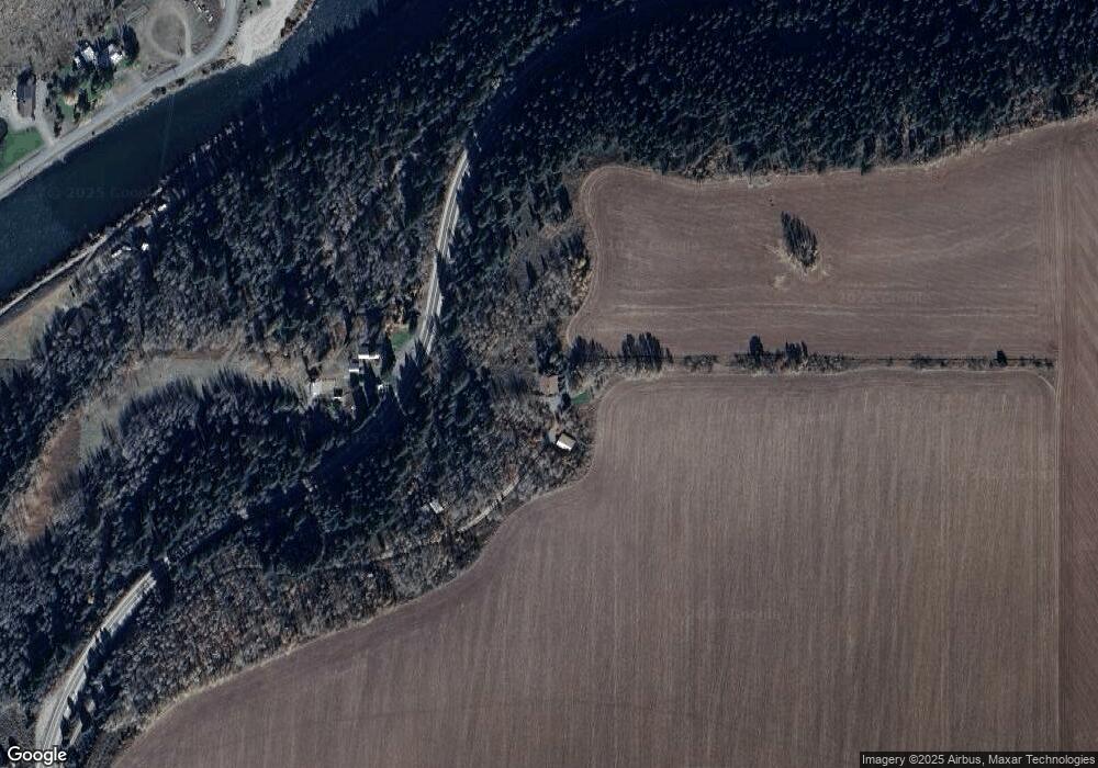
Map
Nearby Homes
- 1528 Idaho 47
- 1603 Royal Coachman Dr
- 1593 Sharptail Ln E
- 1614 Renegade Fly Dr
- 1641 Royal Coachman Dr
- 1657 Renegade Fly Dr
- 1634 Renegade Fly Dr
- 1631 Royal Coachman Dr
- 4051 Golden Stone Rd
- 1395 N 4200 E
- 1560 E Rim Loop Rd
- 1550 E Rim Loop Rd
- 1550 W Rim Loop
- 1542 W Rim Loop
- 4373 Hannah's Crossing
- 1582 Maggie Ln
- 1531 Shadow Run
- 4327 Bridger Ridge
- 4370 Hannah's Crossing
- 4354 Daltons Landing
- 1557 Highway 47
- 4088 Lower Fishermans Dr
- 4080 Lower Fishermans Dr
- 4076 Lower Fishermans Dr
- 4076 Fishermans Dr
- 4067 Fishermans Dr
- 4069 Fishermans Dr
- 4075 Fishermans Dr
- 4055 Fishermans Dr
- 4063 Fishermans Dr
- 1582 Royal Coachman Dr
- 1576 Royal Coachman
- 1572 Royal Coachman Dr
- 4056 Lower Fishermans Dr
- 1512 Highway 47
- 1584 Sharptail Ln E
- 1586 Royal Coachman Dr
- 4060 Lower Fishermans Dr
- 4111 Fishermans Dr
- 4087 E 1500 N