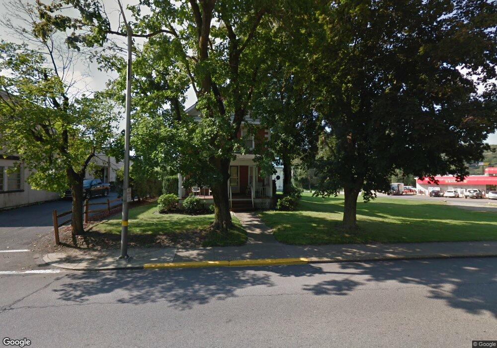
1528 Main St Brockway, PA 15824
Estimated Value: $138,000 - $153,000
--
Bed
--
Bath
700
Sq Ft
$208/Sq Ft
Est. Value
About This Home
This home is located at 1528 Main St, Brockway, PA 15824 and is currently estimated at $145,541, approximately $207 per square foot. 1528 Main St is a home located in Jefferson County with nearby schools including Brockway Area Elementary School, Brockway Area Junior/Senior High School, and Hillside School.
Ownership History
Date
Name
Owned For
Owner Type
Purchase Details
Closed on
Mar 25, 2025
Sold by
Buesink Brian D and Buesink Amy D
Bought by
Saunders John
Current Estimated Value
Home Financials for this Owner
Home Financials are based on the most recent Mortgage that was taken out on this home.
Original Mortgage
$142,373
Outstanding Balance
$141,647
Interest Rate
6.89%
Mortgage Type
FHA
Estimated Equity
$3,894
Create a Home Valuation Report for This Property
The Home Valuation Report is an in-depth analysis detailing your home's value as well as a comparison with similar homes in the area
Home Values in the Area
Average Home Value in this Area
Purchase History
| Date | Buyer | Sale Price | Title Company |
|---|---|---|---|
| Saunders John | $145,000 | None Listed On Document |
Source: Public Records
Mortgage History
| Date | Status | Borrower | Loan Amount |
|---|---|---|---|
| Open | Saunders John | $142,373 |
Source: Public Records
Tax History Compared to Growth
Tax History
| Year | Tax Paid | Tax Assessment Tax Assessment Total Assessment is a certain percentage of the fair market value that is determined by local assessors to be the total taxable value of land and additions on the property. | Land | Improvement |
|---|---|---|---|---|
| 2025 | $1,773 | $37,440 | $4,770 | $32,670 |
| 2024 | $2,023 | $37,440 | $4,770 | $32,670 |
| 2023 | $1,736 | $37,440 | $4,770 | $32,670 |
| 2022 | $1,736 | $37,440 | $4,770 | $32,670 |
| 2021 | $1,736 | $37,440 | $4,770 | $32,670 |
| 2020 | $1,736 | $37,440 | $4,770 | $32,670 |
| 2019 | $1,674 | $37,440 | $4,770 | $32,670 |
| 2018 | $1,602 | $37,440 | $4,770 | $32,670 |
| 2017 | $1,581 | $37,440 | $4,770 | $32,670 |
| 2016 | $1,427 | $37,440 | $4,770 | $32,670 |
| 2015 | -- | $37,440 | $4,770 | $32,670 |
| 2012 | -- | $37,440 | $4,770 | $32,670 |
Source: Public Records
Map
Nearby Homes
- 1549 Main St
- 924 Elm St
- 1074 10th Ave
- 0 U S 219
- 970 Baghdad Rd
- 7956 U S 219
- 425 Zuccolotto Ln
- 19 Salandra Ln
- 1083 Rattlesnake Rd
- 101 Howard Rd
- 5850 U S 219
- 390 Galliot Ct
- 0 Cap Haitien Rd Unit SEC 17 LOT 14
- 636 Cap Haitien Rd
- 5546 Stevenson Hill Rd
- Section 14 Lot 24 Port-Au-prince Rd
- 14 Port-Au-prince Rd
- 13 Cap Haitien Rd
- 579 Codrington Rd
- 580 Codrington Rd
- 1540 Main St Unit 1542
- 1518 Main St
- 932 Evergreen St
- 941 Depot St Unit 943
- 1512 Main St
- 933 Depot St
- 1529 Main St
- 1533 Main St
- 1013 Buzzard St
- 925 Depot St
- 1513 Main St
- 1541 Main St
- 940 Depot St
- 1552 Main St
- 1501 Main St
- 915 Depot St Unit 917
- 1557 Main St
- 1564 Main St
- 1021 Buzzard St
- 970 Evergreen St