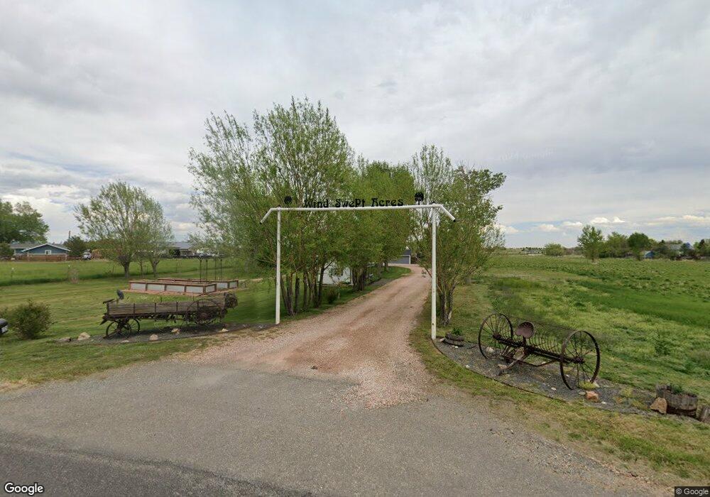
1528 N County Road 23 Berthoud, CO 80513
Estimated Value: $798,650 - $1,118,000
3
Beds
2
Baths
2,260
Sq Ft
$414/Sq Ft
Est. Value
About This Home
This home is located at 1528 N County Road 23, Berthoud, CO 80513 and is currently estimated at $936,663, approximately $414 per square foot. 1528 N County Road 23 is a home located in Larimer County with nearby schools including Berthoud Elementary School, Turner Middle School, and Berthoud High School.
Ownership History
Date
Name
Owned For
Owner Type
Purchase Details
Closed on
Mar 18, 2024
Sold by
Mark E And Rona D Anderson Family Trust
Bought by
Anderson Mark E and Anderson Rona D
Current Estimated Value
Purchase Details
Closed on
Nov 10, 2006
Sold by
Goll Blaine and Cerefice Tiffany
Bought by
Mark E & Rona D Anderson Family Trust
Purchase Details
Closed on
Apr 14, 1997
Sold by
Goll Kay L
Bought by
Goll Blaine D
Home Financials for this Owner
Home Financials are based on the most recent Mortgage that was taken out on this home.
Original Mortgage
$189,400
Interest Rate
10.5%
Create a Home Valuation Report for This Property
The Home Valuation Report is an in-depth analysis detailing your home's value as well as a comparison with similar homes in the area
Home Values in the Area
Average Home Value in this Area
Purchase History
| Date | Buyer | Sale Price | Title Company |
|---|---|---|---|
| Anderson Mark E | -- | None Listed On Document | |
| Mark E & Rona D Anderson Family Trust | $555,000 | None Available | |
| Goll Blaine D | $10,000 | Land Title |
Source: Public Records
Mortgage History
| Date | Status | Borrower | Loan Amount |
|---|---|---|---|
| Previous Owner | Goll Blaine D | $189,400 |
Source: Public Records
Tax History Compared to Growth
Tax History
| Year | Tax Paid | Tax Assessment Tax Assessment Total Assessment is a certain percentage of the fair market value that is determined by local assessors to be the total taxable value of land and additions on the property. | Land | Improvement |
|---|---|---|---|---|
| 2025 | $4,086 | $50,907 | $26,800 | $24,107 |
| 2024 | $3,951 | $50,907 | $26,800 | $24,107 |
| 2022 | $3,125 | $36,230 | $21,684 | $14,546 |
| 2021 | $3,212 | $37,273 | $22,308 | $14,965 |
| 2020 | $3,615 | $41,935 | $22,308 | $19,627 |
| 2019 | $3,562 | $41,935 | $22,308 | $19,627 |
| 2018 | $3,073 | $34,546 | $16,560 | $17,986 |
| 2017 | $2,678 | $34,546 | $16,560 | $17,986 |
| 2016 | $1,533 | $19,176 | $13,532 | $5,644 |
| 2015 | $1,523 | $19,170 | $13,530 | $5,640 |
| 2014 | $1,480 | $17,770 | $11,140 | $6,630 |
Source: Public Records
Map
Nearby Homes
- 1932 N County Road 23
- 1822 Quarter Ln
- 2102 Shoreside Dr
- 2366 Shoreside Dr
- 871 N County Road 23e
- 0 W County Road 8e Unit RECIR1018960
- 3520 W County Road 8
- 4707 Lonetree Dr
- 3412 Erving Ct
- 4616 Lonetree Dr
- 6502 & 6200 Kiva Ridge Dr
- 2517 Southwind Rd
- 560 Talons Reach Run
- 4260 S County Road 23
- 5644 Kiva Ridge Dr
- 2672 Bluewater Rd
- 2598 Bluewater Rd
- 2552 Bluewater Rd
- 2654 Big Creek Ct
- 2668 Big Creek Ct
- 1616 N Co Road 23
- 1616 N County Road 23
- 1760 N County Road 23
- 4012 W County Road 10
- 3920 W County Road 10
- 0 N Co Road 23
- 0 N County Road 23
- 3900 W County Road 10
- 1800 N County Road 23
- 1908 N County Road 23
- 3720 W County Road 10
- 4122 John Galt Dr
- 3728 W County Road 10
- 1932 N Co Road 23
- 1440 Shelby Dr
- 4234 John Galt Dr
- 2022 N County Road 23
- 1368 Shelby Dr
- 1441 Shelby Dr
- 3704 W County Road 10