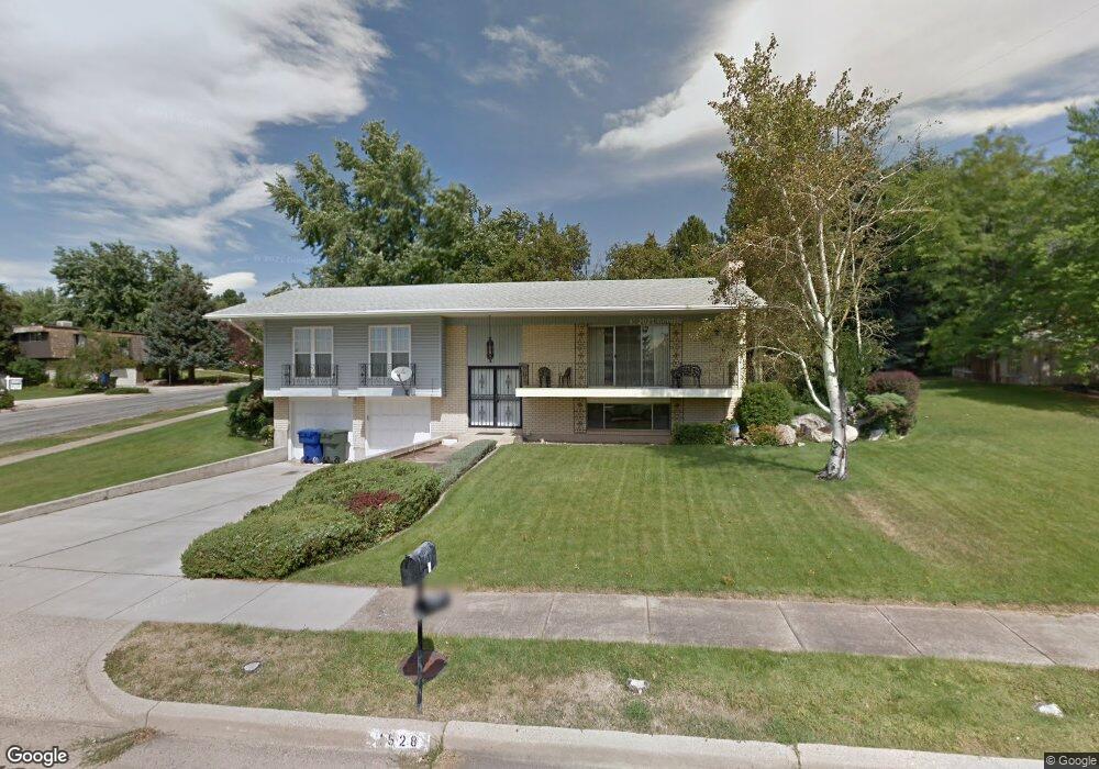
1528 Rond Cir Ogden, UT 84403
Southeast Ogden NeighborhoodEstimated Value: $496,946 - $533,000
3
Beds
3
Baths
1,378
Sq Ft
$376/Sq Ft
Est. Value
About This Home
This home is located at 1528 Rond Cir, Ogden, UT 84403 and is currently estimated at $518,487, approximately $376 per square foot. 1528 Rond Cir is a home located in Weber County with nearby schools including Shadow Valley School, Mount Ogden Junior High School, and Ogden High School.
Ownership History
Date
Name
Owned For
Owner Type
Purchase Details
Closed on
Jan 15, 2013
Sold by
Peterson Joseph Neil and Peterson Ann S
Bought by
Peterson J N and Peterson Ann S
Current Estimated Value
Home Financials for this Owner
Home Financials are based on the most recent Mortgage that was taken out on this home.
Original Mortgage
$72,150
Outstanding Balance
$13,187
Interest Rate
2.65%
Mortgage Type
New Conventional
Estimated Equity
$505,300
Purchase Details
Closed on
Dec 30, 2009
Sold by
Seamons Gladys L
Bought by
Peterson Joseph Neil and Peterson Ann S
Home Financials for this Owner
Home Financials are based on the most recent Mortgage that was taken out on this home.
Original Mortgage
$80,000
Interest Rate
4.78%
Mortgage Type
New Conventional
Create a Home Valuation Report for This Property
The Home Valuation Report is an in-depth analysis detailing your home's value as well as a comparison with similar homes in the area
Home Values in the Area
Average Home Value in this Area
Purchase History
| Date | Buyer | Sale Price | Title Company |
|---|---|---|---|
| Peterson J N | -- | Founders Title Company | |
| Peterson Joseph Neil | -- | Founders Title Company Syrac |
Source: Public Records
Mortgage History
| Date | Status | Borrower | Loan Amount |
|---|---|---|---|
| Open | Peterson J N | $72,150 | |
| Closed | Peterson Joseph Neil | $80,000 |
Source: Public Records
Tax History Compared to Growth
Tax History
| Year | Tax Paid | Tax Assessment Tax Assessment Total Assessment is a certain percentage of the fair market value that is determined by local assessors to be the total taxable value of land and additions on the property. | Land | Improvement |
|---|---|---|---|---|
| 2025 | $3,425 | $470,392 | $192,671 | $277,721 |
| 2024 | $3,393 | $253,549 | $105,969 | $147,580 |
| 2023 | $3,422 | $259,600 | $105,969 | $153,631 |
| 2022 | $3,327 | $253,550 | $89,641 | $163,909 |
| 2021 | $2,873 | $362,000 | $89,225 | $272,775 |
| 2020 | $2,730 | $318,000 | $69,315 | $248,685 |
| 2019 | $2,639 | $290,000 | $64,285 | $225,715 |
| 2018 | $2,443 | $267,000 | $61,340 | $205,660 |
| 2017 | $2,146 | $220,000 | $61,340 | $158,660 |
| 2016 | $1,893 | $105,210 | $30,555 | $74,655 |
| 2015 | $1,928 | $105,210 | $30,555 | $74,655 |
| 2014 | $1,923 | $103,618 | $27,828 | $75,790 |
Source: Public Records
Map
Nearby Homes
- 1505 Navajo Dr
- 5142 Sunset Way Unit 401
- 1663 Navajo Dr
- 1303 Sunset Ct Unit 308
- 5135 Sunset Way Unit 410
- 1295 Sunset Ct Unit 307
- 1302 Sunset Ct
- 1370 E 5150 S
- 1681 E Lakeview Way
- 1762 Whispering Oaks Dr
- 1314 E 5250 S
- 5544 S 1425 E
- 1811 Shadow Valley Dr
- 1225 E 5275 S
- 1459 E 5600 S
- 4781 Canterbury Rd
- 1205 E 5275 S Unit 34
- 1880 Shadow Valley Dr
- 1860 Wasatch Dr
- 4948 S 1150 E
- 1531 Browning Cir
- 1536 Rond Cir
- 5178 Taylor Ave
- 1542 Browning Cir
- 5173 Taylor Ave
- 5147 Taylor Ave
- 1544 Rond Cir
- 5141 Taylor Ave
- 5185 Taylor Ave
- 5182 Taylor Ave
- 1544 Browning Cir
- 1537 Rond Cir
- 1538 Browning Cir
- 1543 Rond Cir
- 5155 Fillmore Ave
- 5171 Fillmore Ave
- 5188 Taylor Ave
- 5141 Fillmore Ave
- 5137 Joe Dean Cir
- 5115 Taylor Ave