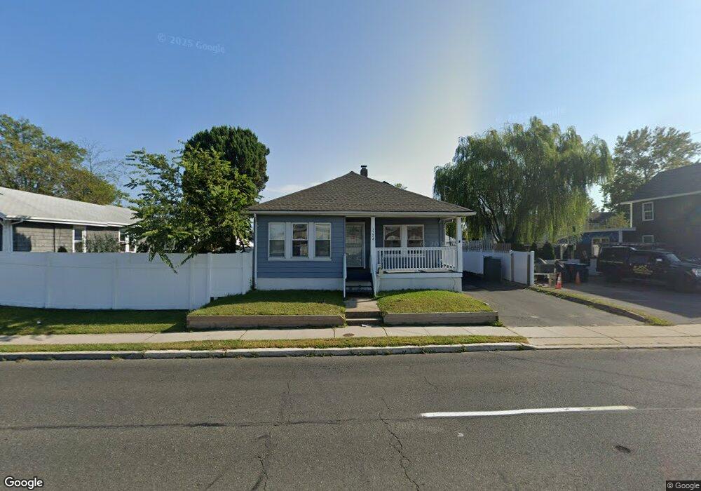
1528 State Route 33 Neptune, NJ 07753
Estimated Value: $444,000 - $494,000
2
Beds
1
Bath
1,328
Sq Ft
$346/Sq Ft
Est. Value
About This Home
This home is located at 1528 State Route 33, Neptune, NJ 07753 and is currently estimated at $459,100, approximately $345 per square foot. 1528 State Route 33 is a home located in Monmouth County with nearby schools including Neptune High School.
Ownership History
Date
Name
Owned For
Owner Type
Purchase Details
Closed on
Feb 9, 2002
Sold by
Branagan Mark
Bought by
Deatcher John
Current Estimated Value
Home Financials for this Owner
Home Financials are based on the most recent Mortgage that was taken out on this home.
Original Mortgage
$69,930
Interest Rate
6.73%
Create a Home Valuation Report for This Property
The Home Valuation Report is an in-depth analysis detailing your home's value as well as a comparison with similar homes in the area
Home Values in the Area
Average Home Value in this Area
Purchase History
| Date | Buyer | Sale Price | Title Company |
|---|---|---|---|
| Deatcher John | $77,700 | -- |
Source: Public Records
Mortgage History
| Date | Status | Borrower | Loan Amount |
|---|---|---|---|
| Previous Owner | Deatcher John | $69,930 |
Source: Public Records
Tax History Compared to Growth
Tax History
| Year | Tax Paid | Tax Assessment Tax Assessment Total Assessment is a certain percentage of the fair market value that is determined by local assessors to be the total taxable value of land and additions on the property. | Land | Improvement |
|---|---|---|---|---|
| 2025 | $7,135 | $455,600 | $234,100 | $221,500 |
| 2024 | $6,312 | $407,500 | $222,400 | $185,100 |
| 2023 | $6,312 | $349,500 | $168,700 | $180,800 |
| 2022 | $4,925 | $293,900 | $136,800 | $157,100 |
| 2021 | $4,206 | $233,100 | $123,800 | $109,300 |
| 2020 | $4,643 | $219,200 | $115,600 | $103,600 |
| 2019 | $4,206 | $196,100 | $99,000 | $97,100 |
| 2018 | $4,162 | $191,800 | $95,400 | $96,400 |
| 2017 | $4,294 | $190,100 | $100,800 | $89,300 |
| 2016 | $4,272 | $188,600 | $100,800 | $87,800 |
| 2015 | $4,153 | $186,500 | $100,800 | $85,700 |
| 2014 | $3,110 | $114,800 | $46,800 | $68,000 |
Source: Public Records
Map
Nearby Homes
- 55 N Route 35 Unit 12A
- 142 1/2 5th Ave Unit Residence 205
- 142 1/2 5th Ave Unit Residence 207
- 142 1/2 5th Ave Unit Residence 108
- 142 1/2 5th Ave Unit Residence 402
- 142 1/2 5th Ave Unit Residence 206
- 1409 7th Ave
- 200 Drummond Ave
- 1317 7th Ave
- 1329 6th Ave
- 1608 Heck Ave
- 152 Myrtle Ave
- 601/603 Route 35
- 45 Ridge Ave
- 3 5th Ave Unit Residence 209
- 3 5th Ave Unit Residence 406
- 3 5th Ave Unit Residence 203
- 3 5th Ave Unit Residence 108
- 3 5th Ave Unit Residence 301
- 1501 Cherry Ln
- 1528 Corlies Ave
- 1526 State Route 33
- 1530 State Route 33
- 1530 Corlies Ave
- 1526 Corlies Ave
- 1532 Corlies Ave
- 1547 10th Ave
- 1549 10th Ave
- 1543 10th Ave
- 1520 Corlies Ave
- 1539 10th Ave
- 108 Hamilton Ave
- 1533 10th Ave
- 1516-1518 Corlies Ave
- 111 Hamilton Ave
- 1546 10th Ave
- 120 Hamilton Ave
- 1540 10th Ave
- 1514 Corlies Ave
- 1514 State Route 33