Estimated Value: $202,755 - $223,000
1
Bed
1
Bath
378
Sq Ft
$562/Sq Ft
Est. Value
About This Home
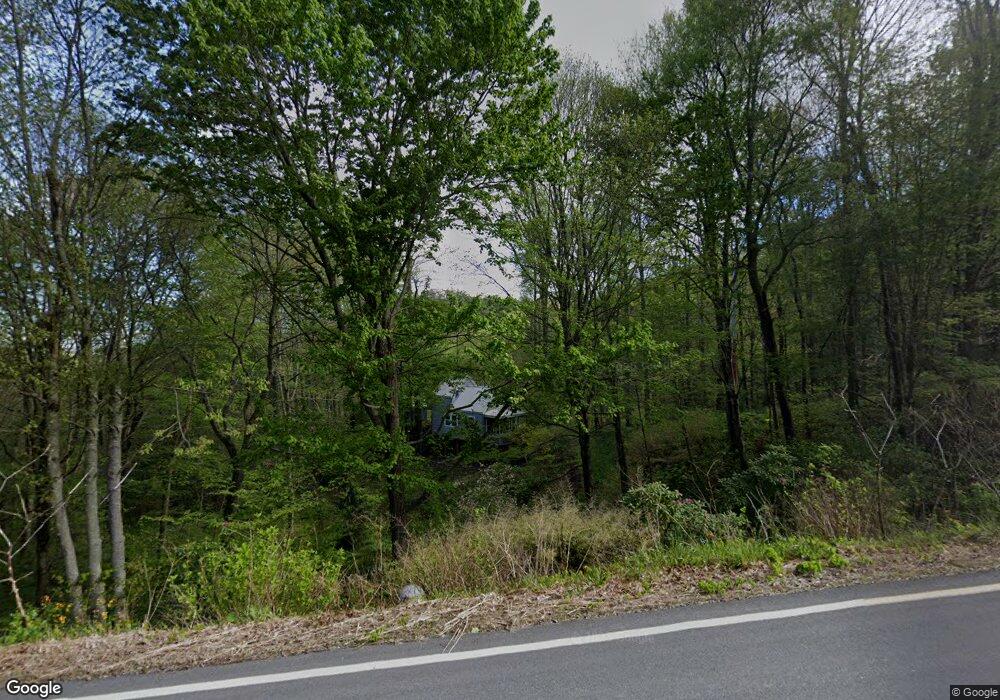
This home is located at 15281 Betsys Gap Rd, Clyde, NC 28721 and is currently estimated at $212,439, approximately $562 per square foot. 15281 Betsys Gap Rd is a home with nearby schools including Riverbend Elementary, Waynesville Middle, and Tuscola High.
Ownership History
Date
Name
Owned For
Owner Type
Purchase Details
Closed on
Oct 17, 2024
Sold by
King Catherine Ann and King Carrie Robin
Bought by
15281 Bgr Llc
Current Estimated Value
Purchase Details
Closed on
May 22, 2023
Sold by
Christopher Carrie Robert
Bought by
Christopher Carrie Robert and Christopher Ann King
Purchase Details
Closed on
Aug 11, 2011
Sold by
Carrie Marjorie S
Bought by
Carrie Robert Christopher
Home Financials for this Owner
Home Financials are based on the most recent Mortgage that was taken out on this home.
Original Mortgage
$82,000
Interest Rate
4.53%
Mortgage Type
Seller Take Back
Create a Home Valuation Report for This Property
The Home Valuation Report is an in-depth analysis detailing your home's value as well as a comparison with similar homes in the area
Home Values in the Area
Average Home Value in this Area
Purchase History
| Date | Buyer | Sale Price | Title Company |
|---|---|---|---|
| 15281 Bgr Llc | $213,000 | None Listed On Document | |
| Christopher Carrie Robert | -- | None Listed On Document | |
| Carrie Robert Christopher | $82,000 | None Available |
Source: Public Records
Mortgage History
| Date | Status | Borrower | Loan Amount |
|---|---|---|---|
| Previous Owner | Carrie Robert Christopher | $82,000 |
Source: Public Records
Tax History
| Year | Tax Paid | Tax Assessment Tax Assessment Total Assessment is a certain percentage of the fair market value that is determined by local assessors to be the total taxable value of land and additions on the property. | Land | Improvement |
|---|---|---|---|---|
| 2025 | -- | $111,200 | $40,600 | $70,600 |
| 2024 | $9 | $111,200 | $40,600 | $70,600 |
| 2023 | $871 | $111,200 | $40,600 | $70,600 |
| 2022 | $854 | $111,200 | $40,600 | $70,600 |
| 2021 | $854 | $111,200 | $40,600 | $70,600 |
| 2020 | $812 | $96,700 | $40,600 | $56,100 |
| 2019 | $817 | $96,700 | $40,600 | $56,100 |
| 2018 | $817 | $96,700 | $40,600 | $56,100 |
| 2017 | $817 | $96,700 | $0 | $0 |
| 2016 | $768 | $92,000 | $0 | $0 |
| 2015 | $768 | $92,000 | $0 | $0 |
| 2014 | $673 | $92,000 | $0 | $0 |
Source: Public Records
Map
Nearby Homes
- 108 Lanning Rd
- 000 Listening Cove Unit 42
- 00 Listening Cove Unit 41
- 190 Turkey Creek Rd
- 317 Camp Branch Rd
- 0000 Wayward Cove Unit 18
- 000 Wayward Cove
- 00 Poplar Cove Rd
- 00 Sallys Branch Rd
- 842 Grouse Rd
- 112 & 113 Grouse Rd
- 00 Max Patch Rd
- 00 Wesley Creek Rd
- 68 Grouse Rd Unit 68
- 0000 Short Ridge Ln
- 99999 Gibson Branch Rd
- 11267 Rush Fork Rd
- 186 Creekmont Dr
- 17 Surya Ln
- 20A Lila Ln
- 15281 Betsy's Gap Rd
- 00 Highway 209
- 0 Off Hwy 209 Unit NCM438166
- 00000 Hwy 209
- 0000 Hwy 209
- 999999 Hwy 209
- 99999 Hwy 209
- 15379 Betsys Gap Rd
- 15314 Betsys Gap Rd
- 15075 Betsys Gap Rd
- 133 Mountain Sunset Dr
- 29743 N Carolina 209
- 174 Mathis Cove
- 1364 Turkey Creek Rd
- 88 Whiskey Trail
- 19895 Nc 209 Hwy
- 36 Bridle Path Ln
- 1358 Turkey Creek Rd
- 514 Lab Mountain Rd
- 514 Lab Mountain Rd
Your Personal Tour Guide
Ask me questions while you tour the home.