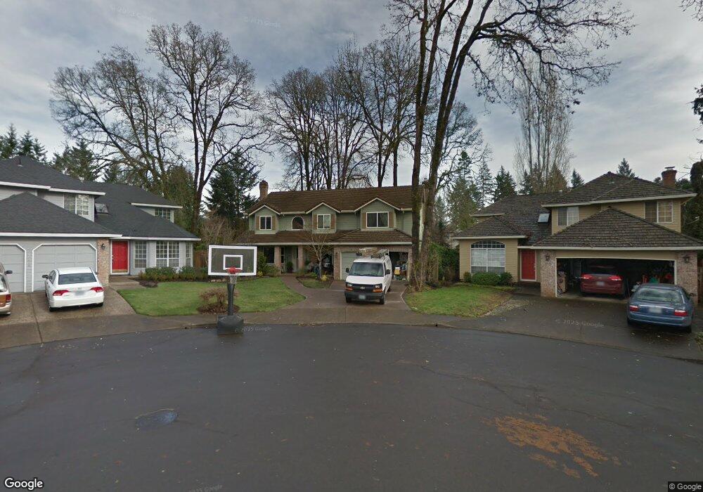
15286 SW Kenton Dr Portland, OR 97224
Durham Road NeighborhoodEstimated Value: $758,876 - $826,000
5
Beds
3
Baths
2,995
Sq Ft
$263/Sq Ft
Est. Value
About This Home
This home is located at 15286 SW Kenton Dr, Portland, OR 97224 and is currently estimated at $788,719, approximately $263 per square foot. 15286 SW Kenton Dr is a home located in Washington County with nearby schools including Durham Elementary School, Twality Middle School, and Tigard High School.
Ownership History
Date
Name
Owned For
Owner Type
Purchase Details
Closed on
Jan 25, 2008
Sold by
Webster Steven G and Webster Marjorie
Bought by
Webster Steven G and Webster Marjorie
Current Estimated Value
Home Financials for this Owner
Home Financials are based on the most recent Mortgage that was taken out on this home.
Original Mortgage
$183,400
Outstanding Balance
$115,865
Interest Rate
6.09%
Mortgage Type
New Conventional
Estimated Equity
$672,854
Purchase Details
Closed on
Aug 20, 1997
Sold by
Layman Michael L and Layman Cheryl D
Bought by
Webster Steven G and Webster Marjorie J
Home Financials for this Owner
Home Financials are based on the most recent Mortgage that was taken out on this home.
Original Mortgage
$200,000
Interest Rate
7%
Create a Home Valuation Report for This Property
The Home Valuation Report is an in-depth analysis detailing your home's value as well as a comparison with similar homes in the area
Home Values in the Area
Average Home Value in this Area
Purchase History
| Date | Buyer | Sale Price | Title Company |
|---|---|---|---|
| Webster Steven G | -- | Lawyers Title Ins | |
| Webster Steven G | $250,000 | Chicago Title Insurance Co |
Source: Public Records
Mortgage History
| Date | Status | Borrower | Loan Amount |
|---|---|---|---|
| Open | Webster Steven G | $183,400 | |
| Closed | Webster Steven G | $200,000 |
Source: Public Records
Tax History Compared to Growth
Tax History
| Year | Tax Paid | Tax Assessment Tax Assessment Total Assessment is a certain percentage of the fair market value that is determined by local assessors to be the total taxable value of land and additions on the property. | Land | Improvement |
|---|---|---|---|---|
| 2025 | $8,003 | $469,430 | -- | -- |
| 2024 | $7,789 | $455,760 | -- | -- |
| 2023 | $7,789 | $442,490 | $0 | $0 |
| 2022 | $7,565 | $442,490 | $0 | $0 |
| 2021 | $7,375 | $417,100 | $0 | $0 |
| 2020 | $7,154 | $404,960 | $0 | $0 |
| 2019 | $6,844 | $393,170 | $0 | $0 |
| 2018 | $6,566 | $381,720 | $0 | $0 |
| 2017 | $6,329 | $370,610 | $0 | $0 |
| 2016 | $5,969 | $359,820 | $0 | $0 |
| 2015 | $5,633 | $349,340 | $0 | $0 |
| 2014 | $5,432 | $339,170 | $0 | $0 |
Source: Public Records
Map
Nearby Homes
- 14994 SW Belvoir Ct
- 14964 SW Belvoir Ct
- 8420 SW Norfolk Ct
- 7988 SW Leiser Ln
- 7744 SW Cornutt St
- 8596 SW Schmidt Loop
- 15080 SW 88th Ave
- 7913 SW Leiser Ln
- 14670 SW 78th Ave
- 7946 SW Churchill Way
- 14611 SW 78th Ave
- 7585 SW Onnaf Ct
- 14544 SW 78th Ave
- 8801 SW Scheckla Dr
- 8539 SW Avon St
- 8755 SW Pinebrook St
- 8580 SW Inez St
- 15755 SW 87th Ave
- 15974 SW 76th Ave
- 15107 SW 91st Ave
- 15270 SW Kenton Dr
- 15298 SW Kenton Dr
- 15287 SW Thurston Ln
- 15279 SW Thurston Ln
- 15312 SW Kenton Dr
- 15254 SW Kenton Dr
- 15307 SW Thurston Ln
- 15200 SW 81st Ave
- 15267 SW Thurston Ln
- 15334 SW Kenton Dr
- 15329 SW Thurston Ln
- 15232 SW Kenton Dr
- 15303 SW Kenton Dr
- 15215 SW 79th Ave
- 15220 SW 81st Ave
- 15245 SW Thurston Ln
- 15356 SW Kenton Dr
- 15341 SW Thurston Ln
- 15325 SW Kenton Dr
- 15210 SW Kenton Dr