Estimated Value: $174,000 - $380,235
3
Beds
3
Baths
1,194
Sq Ft
$243/Sq Ft
Est. Value
About This Home
This home is located at 15289 N State Hwy 21, Cadet, MO 63630 and is currently estimated at $289,745, approximately $242 per square foot. 15289 N State Hwy 21 is a home located in Washington County with nearby schools including Kingston Primary School, Kingston Elementary School, and Kingston Middle School.
Ownership History
Date
Name
Owned For
Owner Type
Purchase Details
Closed on
Jun 9, 2015
Sold by
Jane M. Jane M and Eckhoff Lonnie C
Bought by
Osia Raymond C and Freman Tyler A
Current Estimated Value
Home Financials for this Owner
Home Financials are based on the most recent Mortgage that was taken out on this home.
Original Mortgage
$180,000
Interest Rate
3.91%
Mortgage Type
Stand Alone Refi Refinance Of Original Loan
Create a Home Valuation Report for This Property
The Home Valuation Report is an in-depth analysis detailing your home's value as well as a comparison with similar homes in the area
Home Values in the Area
Average Home Value in this Area
Purchase History
| Date | Buyer | Sale Price | Title Company |
|---|---|---|---|
| Osia Raymond C | -- | -- |
Source: Public Records
Mortgage History
| Date | Status | Borrower | Loan Amount |
|---|---|---|---|
| Closed | Osia Raymond C | $180,000 |
Source: Public Records
Tax History Compared to Growth
Tax History
| Year | Tax Paid | Tax Assessment Tax Assessment Total Assessment is a certain percentage of the fair market value that is determined by local assessors to be the total taxable value of land and additions on the property. | Land | Improvement |
|---|---|---|---|---|
| 2024 | $954 | $17,520 | $1,980 | $15,540 |
| 2023 | $942 | $17,410 | $1,980 | $15,430 |
| 2022 | $942 | $17,410 | $1,980 | $15,430 |
| 2021 | $948 | $17,410 | $1,980 | $15,430 |
| 2020 | $952 | $17,410 | $1,980 | $15,430 |
| 2019 | $949 | $17,410 | $1,980 | $15,430 |
| 2018 | $953 | $17,430 | $0 | $0 |
| 2017 | $950 | $17,430 | $2,000 | $15,430 |
| 2016 | $936 | $17,430 | $2,000 | $15,430 |
| 2014 | -- | $17,520 | $0 | $0 |
| 2013 | -- | $17,410 | $0 | $0 |
| 2012 | -- | $17,410 | $0 | $0 |
Source: Public Records
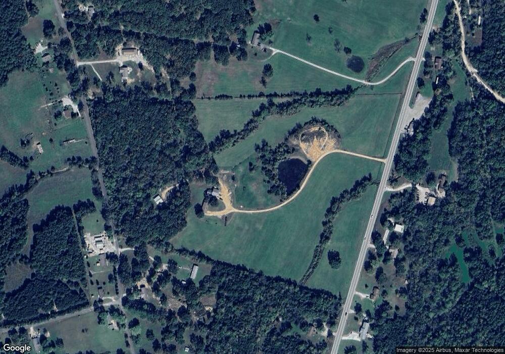
Map
Nearby Homes
- 0 Cyclone Rd
- Tract 1 Dusty Rd
- 0 Foxtrot Rd
- 10270 Skyline Dr
- 10262 Cannon Mines Rd
- 10330 Bottom Diggins Rd
- 0 State Highway F Unit MIS25069736
- 130 Acres Hwy E
- 30 Acres Hwy E
- 13085 E State Hwy E
- 20 Acres Hwy E
- 50 Acres Hwy E
- 10248 Keyes Branch Rd
- 10324 Vine Rd
- 10179 Cherry Hill Ln
- Lot 1 Wicket Rd
- 10012 Yellowstone Dr
- 10014 Yellowstone Dr
- 10054 Yellowstone Dr
- 10056 Yellowstone Dr
- 10340 Cyclone Rd
- 10397 Cyclone Rd
- 15083 Missouri 21
- 10620 Cyclone Rd
- 10313 Cyclone Rd
- 15083 N State Highway 21
- 15083 N State Highway 21
- 15083 N State Hwy 21
- 999 S State Hwy 21
- 15190 N State Highway 21
- 15134 N State Highway 21
- 15080 N State Highway 21
- 10633 Cyclone Rd
- 10674 Cyclone Rd
- 10207 Cyclone Rd
- 15060 N State Highway 21
- 10111 Pratt Rd
- 10716 Cyclone Rd
- 10433 Tindall Rd
- 10147 Pratt Rd