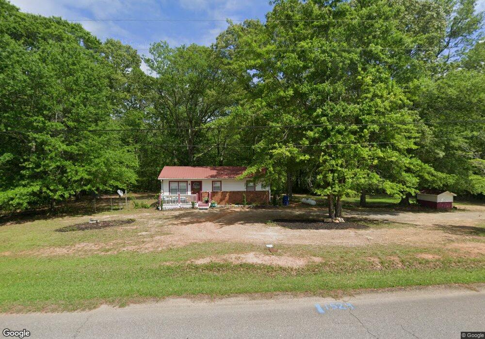
1529 Banning Rd Whitesburg, GA 30185
Estimated Value: $139,000 - $211,000
1
Bed
1
Bath
864
Sq Ft
$184/Sq Ft
Est. Value
About This Home
This home is located at 1529 Banning Rd, Whitesburg, GA 30185 and is currently estimated at $159,346, approximately $184 per square foot. 1529 Banning Rd is a home located in Carroll County with nearby schools including Whitesburg Elementary School, Central Middle School, and Central High School.
Ownership History
Date
Name
Owned For
Owner Type
Purchase Details
Closed on
Oct 14, 2008
Sold by
Nj Properties Llc
Bought by
Hopkins Katie M
Current Estimated Value
Purchase Details
Closed on
Oct 15, 2004
Sold by
Nj Properties Llc
Bought by
N J Properties Llc
Purchase Details
Closed on
Oct 14, 2004
Sold by
Hendrix Mary and Hendrix David
Bought by
Hendrix David
Purchase Details
Closed on
Oct 2, 1999
Sold by
Horsley Joseph
Bought by
Hendrix Mary and Hendrix David
Purchase Details
Closed on
Feb 21, 1970
Bought by
Horsley Joseph
Create a Home Valuation Report for This Property
The Home Valuation Report is an in-depth analysis detailing your home's value as well as a comparison with similar homes in the area
Home Values in the Area
Average Home Value in this Area
Purchase History
| Date | Buyer | Sale Price | Title Company |
|---|---|---|---|
| Hopkins Katie M | -- | -- | |
| N J Properties Llc | -- | -- | |
| Nj Properties Llc | $60,000 | -- | |
| Hendrix David | -- | -- | |
| Hendrix David | $2,500 | -- | |
| Nj Properties Llc | $60,000 | -- | |
| Hendrix Mary | $45,000 | -- | |
| Horsley Joseph | -- | -- |
Source: Public Records
Tax History Compared to Growth
Tax History
| Year | Tax Paid | Tax Assessment Tax Assessment Total Assessment is a certain percentage of the fair market value that is determined by local assessors to be the total taxable value of land and additions on the property. | Land | Improvement |
|---|---|---|---|---|
| 2024 | $63 | $38,244 | $11,660 | $26,584 |
| 2023 | $63 | $33,469 | $9,329 | $24,140 |
| 2022 | $75 | $25,657 | $6,219 | $19,438 |
| 2021 | $76 | $21,707 | $4,975 | $16,732 |
| 2020 | $76 | $19,629 | $4,523 | $15,106 |
| 2019 | $78 | $20,751 | $6,579 | $14,172 |
| 2018 | $82 | $19,377 | $6,148 | $13,229 |
| 2017 | $83 | $19,377 | $6,148 | $13,229 |
| 2016 | $83 | $19,377 | $6,148 | $13,229 |
| 2015 | $82 | $17,781 | $5,971 | $11,810 |
| 2014 | $83 | $17,781 | $5,971 | $11,810 |
Source: Public Records
Map
Nearby Homes
- 840 Old Driver Rd
- 226 Long Island Dr
- 61 Coral Dr
- 2218 Cross Plains Hulett Rd
- 40 Coral Dr
- 15 Bailey St
- 2116 Jones Mill Rd
- 369 Old Driver Rd
- 409 Old Driver Rd
- 570 Old Driver Rd
- 2241 Georgia 16
- 501 Hollis Thompson Dr
- 1620 Cross Plains Hulett Rd
- 2700 Banning Rd
- 0 Georgia 16
- 357 Old Driver Rd
- 248 Sally Duke Dr
- 255 Sally Duke Dr
- 1016 Windsock Way
- 1147 Banning Rd
- 1500 Banning Rd
- 1548 Banning Rd
- 1490 Banning Rd
- 1580 Hutcheson Ferry Rd
- 1640 Banning Rd
- 1451 Banning Rd
- 1551 Hutcheson Ferry Rd
- 1601 Hutcheson Ferry Rd
- 1371 Banning Rd
- 1600 Banning Rd
- 1835 Banning Rd
- 1750 Hutcheson Ferry Rd
- 1816 Banning Rd
- 1721 Hutcheson Ferry Rd
- 1836 Banning Rd
- 1195 Banning Rd
- 1155 Banning Rd
- 1779 Hutcheson Ferry Rd
- 1896 Banning Rd