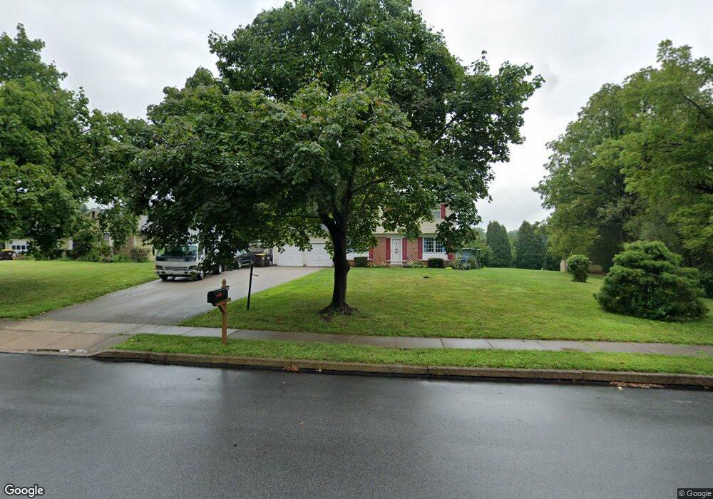
1529 Green Lane Rd Lansdale, PA 19446
Estimated Value: $530,000 - $573,000
4
Beds
2
Baths
1,746
Sq Ft
$312/Sq Ft
Est. Value
About This Home
This home is located at 1529 Green Lane Rd, Lansdale, PA 19446 and is currently estimated at $544,285, approximately $311 per square foot. 1529 Green Lane Rd is a home located in Montgomery County with nearby schools including Gwynedd Square Elementary School, Pennfield Middle School, and North Penn Senior High School.
Ownership History
Date
Name
Owned For
Owner Type
Purchase Details
Closed on
Dec 28, 2010
Sold by
Roach Roger N
Bought by
Roach Roger N and Roach Jeanette
Current Estimated Value
Home Financials for this Owner
Home Financials are based on the most recent Mortgage that was taken out on this home.
Original Mortgage
$116,000
Interest Rate
4.46%
Purchase Details
Closed on
Apr 16, 1996
Sold by
Roach Roger N and Mackle Lynda A
Bought by
Roach Roger N
Create a Home Valuation Report for This Property
The Home Valuation Report is an in-depth analysis detailing your home's value as well as a comparison with similar homes in the area
Home Values in the Area
Average Home Value in this Area
Purchase History
| Date | Buyer | Sale Price | Title Company |
|---|---|---|---|
| Roach Roger N | -- | None Available | |
| Roach Roger N | -- | -- |
Source: Public Records
Mortgage History
| Date | Status | Borrower | Loan Amount |
|---|---|---|---|
| Closed | Roach Roger N | $116,000 |
Source: Public Records
Tax History Compared to Growth
Tax History
| Year | Tax Paid | Tax Assessment Tax Assessment Total Assessment is a certain percentage of the fair market value that is determined by local assessors to be the total taxable value of land and additions on the property. | Land | Improvement |
|---|---|---|---|---|
| 2025 | $6,536 | $161,370 | $59,060 | $102,310 |
| 2024 | $6,536 | $161,370 | $59,060 | $102,310 |
| 2023 | $6,259 | $161,370 | $59,060 | $102,310 |
| 2022 | $5,875 | $161,370 | $59,060 | $102,310 |
| 2021 | $5,705 | $161,370 | $59,060 | $102,310 |
| 2020 | $5,447 | $161,370 | $59,060 | $102,310 |
| 2019 | $5,352 | $161,370 | $59,060 | $102,310 |
| 2018 | $1,064 | $161,370 | $59,060 | $102,310 |
| 2017 | $5,139 | $161,370 | $59,060 | $102,310 |
| 2016 | $5,075 | $161,370 | $59,060 | $102,310 |
| 2015 | $4,864 | $161,370 | $59,060 | $102,310 |
| 2014 | $4,864 | $161,370 | $59,060 | $102,310 |
Source: Public Records
Map
Nearby Homes
- 109 Durham Ct
- 103 Newport Ct
- 705 Continental Dr
- 1348 Michael Way
- 592 Blackmoor Ct
- 1825 Flintlock Cir
- 102 Ridgewood Way
- 502 Clarella Ct
- 510 Greenwood Ct
- 10 Bentwood Ct W
- 1653 Bridle Path Dr
- 25 Chestnut Ct E
- 11 Elder Ct
- 28 Juniper Ct E
- 113 Clemens Ct
- 144 Oberlin Terrace Unit 15-B
- 2212 Mulberry Ct
- 134 Oberlin Terrace Unit 15-H
- 205 Green Bank Way
- 128 Wellington Terrace
- 1527 Green Lane Rd
- 1504 Sherwood Way
- 1525 Green Lane Rd
- 1502 Sherwood Way
- 1506 Sherwood Way
- 1500 Sherwood Way
- 1523 Green Lane Rd
- 1508 Sherwood Way
- 1500 Canterbury Dr
- 1645 Boone Way
- 1650 Boone Way
- 1503 Sherwood Way
- 1646 Boone Way
- 1641 Boone Way
- 1510 Sherwood Way
- 1521 Green Lane Rd
- 1501 Sherwood Way
- 1505 Sherwood Way
- 1501 Canterbury Dr
- 1502 Canterbury Dr