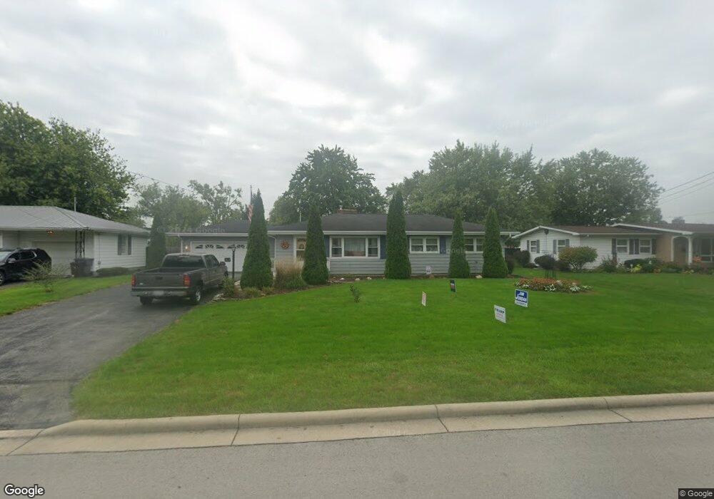
1529 Hazel Ave Lima, OH 45805
Westgate NeighborhoodEstimated Value: $149,000 - $183,000
3
Beds
2
Baths
1,248
Sq Ft
$129/Sq Ft
Est. Value
About This Home
This home is located at 1529 Hazel Ave, Lima, OH 45805 and is currently estimated at $160,459, approximately $128 per square foot. 1529 Hazel Ave is a home located in Allen County with nearby schools including Heritage Elementary School, Lima West Middle School, and Lima North Middle School.
Ownership History
Date
Name
Owned For
Owner Type
Purchase Details
Closed on
Apr 28, 2011
Sold by
Thomas Michael D and Thomas Cathy
Bought by
Lawrence Darren R and Dearth Jenny L
Current Estimated Value
Home Financials for this Owner
Home Financials are based on the most recent Mortgage that was taken out on this home.
Original Mortgage
$62,000
Outstanding Balance
$42,868
Interest Rate
4.77%
Mortgage Type
New Conventional
Estimated Equity
$117,591
Purchase Details
Closed on
Jul 1, 1992
Bought by
Thomas Ruth E
Create a Home Valuation Report for This Property
The Home Valuation Report is an in-depth analysis detailing your home's value as well as a comparison with similar homes in the area
Home Values in the Area
Average Home Value in this Area
Purchase History
We collect this data history from publicly available records. To have your information removed, we recommend requesting removal directly through your county’s website.
| Date | Buyer | Sale Price | Title Company |
|---|---|---|---|
| Lawrence Darren R | $72,000 | Attorney | |
| Thomas Ruth E | -- | -- |
Source: Public Records
Mortgage History
We collect this data history from publicly available records. To have your information removed, we recommend requesting removal directly through your county’s website.
| Date | Status | Borrower | Loan Amount |
|---|---|---|---|
| Open | Lawrence Darren R | $62,000 |
Source: Public Records
Tax History
| Year | Tax Paid | Tax Assessment Tax Assessment Total Assessment is a certain percentage of the fair market value that is determined by local assessors to be the total taxable value of land and additions on the property. | Land | Improvement |
|---|---|---|---|---|
| 2024 | $1,522 | $42,460 | $9,700 | $32,760 |
| 2023 | $1,479 | $35,920 | $7,810 | $28,110 |
| 2022 | $1,488 | $35,920 | $7,810 | $28,110 |
| 2021 | $1,577 | $35,920 | $7,810 | $28,110 |
| 2020 | $1,569 | $31,680 | $7,350 | $24,330 |
| 2019 | $1,569 | $31,680 | $7,350 | $24,330 |
| 2018 | $1,482 | $31,680 | $7,350 | $24,330 |
| 2017 | $1,420 | $28,420 | $7,350 | $21,070 |
| 2016 | $1,433 | $28,420 | $7,350 | $21,070 |
| 2015 | $1,498 | $28,420 | $7,350 | $21,070 |
| 2014 | $1,498 | $29,370 | $7,490 | $21,880 |
| 2013 | $1,457 | $29,370 | $7,490 | $21,880 |
Source: Public Records
Map
Nearby Homes
- 1600 Leland Ave
- 541 N Nixon Ave
- 616 N Rosedale Ave
- 511 N Nixon Ave
- 926 Crestwood Dr
- 1517 Allentown Rd
- 1721 Rice Ave
- 1209 Rice Ave
- 1015 N Cole St
- 1607 W Wayne St
- 0 Latham
- 1508 Oakland Pkwy
- 711 College Ave
- 1160 Richie Ave
- 3 Poulston Place
- 1044 Woodland Dr
- 1150 Brice Ave
- 1834 Latham Ave
- 1918 Oakland Pkwy
- 1023 Leland Ave
- 1525 Hazel Ave
- 1537 Hazel Ave
- 1521 Hazel Ave
- 1540 Leland Ave
- 1556 Leland Ave
- 1524 Leland Ave
- 724 N Nixon Ave
- 720 N Nixon Ave
- 1560 Leland Ave
- 1528 Hazel Ave
- 1536 Hazel Ave
- 1524 Hazel Ave
- 1522 Leland Ave
- 1517 Hazel Ave
- 1566 Leland Ave
- 800 N Nixon Ave
- 800 N Nixon Ave
- 1520 Hazel Ave
- 1568 Leland Ave
- 1520 Leland Ave
Your Personal Tour Guide
Ask me questions while you tour the home.