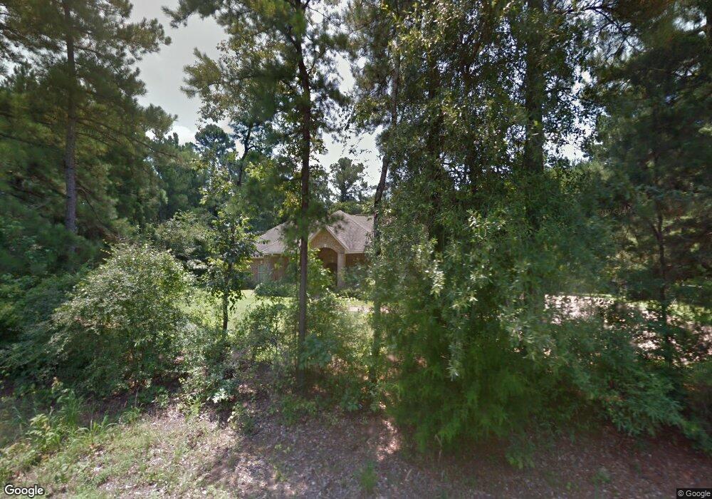
1529 Highway 544 Ruston, LA 71270
Estimated Value: $334,000 - $405,000
Studio
1
Bath
1,848
Sq Ft
$194/Sq Ft
Est. Value
About This Home
This home is located at 1529 Highway 544, Ruston, LA 71270 and is currently estimated at $359,353, approximately $194 per square foot. 1529 Highway 544 is a home located in Lincoln Parish with nearby schools including Glen View Elementary School, Cypress Springs Elementary School, and Ruston Junior High School.
Ownership History
Date
Name
Owned For
Owner Type
Purchase Details
Closed on
Apr 23, 2014
Sold by
Jones Jason Neill and Jones Laura Beasley
Bought by
Crittenden Kelly Blayne and Crittenden Amy Grifka
Current Estimated Value
Purchase Details
Closed on
Nov 18, 2005
Sold by
Fowler Beasley Don J and Fowler Beasley Mary Ardinstin
Bought by
Jones Jason Neill and Beasley Jones Laura Rose
Home Financials for this Owner
Home Financials are based on the most recent Mortgage that was taken out on this home.
Original Mortgage
$181,165
Interest Rate
5.92%
Mortgage Type
New Conventional
Create a Home Valuation Report for This Property
The Home Valuation Report is an in-depth analysis detailing your home's value as well as a comparison with similar homes in the area
Home Values in the Area
Average Home Value in this Area
Purchase History
| Date | Buyer | Sale Price | Title Company |
|---|---|---|---|
| Crittenden Kelly Blayne | $255,000 | None Available | |
| Jones Jason Neill | $191,000 | None Available |
Source: Public Records
Mortgage History
| Date | Status | Borrower | Loan Amount |
|---|---|---|---|
| Previous Owner | Jones Jason Neill | $181,165 |
Source: Public Records
Tax History
| Year | Tax Paid | Tax Assessment Tax Assessment Total Assessment is a certain percentage of the fair market value that is determined by local assessors to be the total taxable value of land and additions on the property. | Land | Improvement |
|---|---|---|---|---|
| 2025 | $2,497 | $30,369 | $821 | $29,548 |
| 2024 | $2,497 | $30,368 | $821 | $29,547 |
| 2023 | $2,012 | $23,517 | $2,239 | $21,278 |
| 2022 | $2,022 | $23,517 | $2,239 | $21,278 |
| 2021 | $1,866 | $23,517 | $2,239 | $21,278 |
| 2020 | $1,845 | $23,113 | $2,239 | $20,874 |
| 2019 | $1,891 | $24,342 | $2,239 | $22,103 |
| 2018 | $1,838 | $24,342 | $2,239 | $22,103 |
| 2017 | $1,842 | $24,342 | $2,239 | $22,103 |
| 2016 | $1,835 | $0 | $0 | $0 |
| 2015 | $1,647 | $19,957 | $1,997 | $17,960 |
| 2013 | $1,781 | $21,292 | $1,997 | $19,295 |
Source: Public Records
Map
Nearby Homes
- 000 Tarbutton Rd
- 160 Garr Rd
- 2111 W Kentucky Ave
- 155 Clear Springs Dr
- 178 Clear Springs Dr
- 149 Clear Springs Dr
- 170 Clear Springs Dr
- 171 Clear Springs Dr
- 147 Three Ponds Rd
- 132 Fairway Ln
- S Service Rd
- 1804 Corley St
- 1508 Bonaparte Dr
- 1507 Dauphine Dr
- 000 W Alabama Ave
- Kavanaugh Rd
- 1904 Mimosa Cir
- 1114 Abby Ln
- 1113 Lisa Ln
- 1111 Rita Ln
- 1509 Highway 544
- 1501 Highway 544
- 1483 Highway 544
- 1589 Highway 544
- 2204 Mitcham Orchard Rd
- 2190 Mitcham Orchard Rd
- 1602 Highway 544
- 2180 Mitcham Orchard Rd
- 1612 Highway 544
- 2174 Mitcham Orchard Rd
- 358 Orchard Valley Cir
- 370 Orchard Valley Cir
- 344 Orchard Valley Cir
- 1598 Highway 544
- 384 Orchard Valley Cir
- 189 Fowler Rd
- 340 Orchard Valley Cir
- 100 Orchard Valley Cir
- 338 Orchard Valley Cir
- 102 Orchard Valley Cir
Your Personal Tour Guide
Ask me questions while you tour the home.