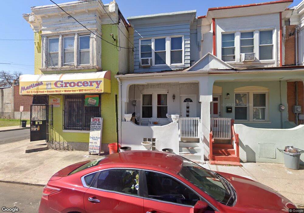
1529 Newport St Camden, NJ 08104
Liberty Park NeighborhoodEstimated Value: $101,353 - $168,000
--
Bed
--
Bath
1,037
Sq Ft
$129/Sq Ft
Est. Value
About This Home
This home is located at 1529 Newport St, Camden, NJ 08104 and is currently estimated at $134,088, approximately $129 per square foot. 1529 Newport St is a home located in Camden County with nearby schools including Camden High School and Freedom Prep Charter School.
Ownership History
Date
Name
Owned For
Owner Type
Purchase Details
Closed on
Dec 16, 2014
Sold by
Burke Sylvester and Burke Merline C
Bought by
Ledesma Francisco Deleon and Cruz Hernandez Jose Francisco
Current Estimated Value
Home Financials for this Owner
Home Financials are based on the most recent Mortgage that was taken out on this home.
Original Mortgage
$62,000
Outstanding Balance
$49,309
Interest Rate
5%
Mortgage Type
Unknown
Estimated Equity
$84,779
Purchase Details
Closed on
Nov 20, 2008
Sold by
Carter Theodore U
Bought by
Burke Sylvester
Create a Home Valuation Report for This Property
The Home Valuation Report is an in-depth analysis detailing your home's value as well as a comparison with similar homes in the area
Home Values in the Area
Average Home Value in this Area
Purchase History
| Date | Buyer | Sale Price | Title Company |
|---|---|---|---|
| Ledesma Francisco Deleon | $65,000 | None Available | |
| Burke Sylvester | -- | -- |
Source: Public Records
Mortgage History
| Date | Status | Borrower | Loan Amount |
|---|---|---|---|
| Open | Ledesma Francisco Deleon | $62,000 |
Source: Public Records
Tax History Compared to Growth
Tax History
| Year | Tax Paid | Tax Assessment Tax Assessment Total Assessment is a certain percentage of the fair market value that is determined by local assessors to be the total taxable value of land and additions on the property. | Land | Improvement |
|---|---|---|---|---|
| 2025 | $2,498 | $70,500 | $4,700 | $65,800 |
| 2024 | $2,415 | $70,500 | $4,700 | $65,800 |
| 2023 | $2,415 | $70,500 | $4,700 | $65,800 |
| 2022 | $2,370 | $70,500 | $4,700 | $65,800 |
| 2021 | $2,361 | $70,500 | $4,700 | $65,800 |
| 2020 | $2,242 | $70,500 | $4,700 | $65,800 |
| 2019 | $2,147 | $70,500 | $4,700 | $65,800 |
| 2018 | $2,135 | $70,500 | $4,700 | $65,800 |
| 2017 | $2,083 | $70,500 | $4,700 | $65,800 |
| 2016 | $2,017 | $70,500 | $4,700 | $65,800 |
| 2015 | $1,942 | $70,500 | $4,700 | $65,800 |
| 2014 | $1,895 | $70,500 | $4,700 | $65,800 |
Source: Public Records
Map
Nearby Homes
- 1097 Morton St
- 1522 S 10th St
- 1165 Morton St
- 1574 Mount Ephraim Ave
- 1165 Chase St
- 1168 Everett St
- 940 Morton St
- 1183 Chase St
- 1575 Louis St
- 1165 Lansdowne Ave
- 1167 Lansdowne Ave
- 1169 Lansdowne Ave
- 1216 Morton St
- 1218 Morton St
- 1150 Mechanic St
- 1220 Jackson St
- 1240 Chase St
- 936 Mechanic St
- 2033 -2043 S 10th St
- 1239 Jackson St
- 1527 Newport St
- 1525 Newport St
- 1523 Newport St
- 1091 Thurman St
- 1521 Newport St
- 1089 Thurman St
- 1087 Thurman St
- 1519 Newport St
- 1101 Thurman St
- 1085 Thurman St
- 1517 Newport St
- 1083 Thurman St
- 1103 Thurman St
- 1515 Newport St
- 1081 Thurman St
- 1105 Thurman St
- 1096 Thurman St
- 1094 Thurman St
- 1092 Thurman St
- 1520 Newport St