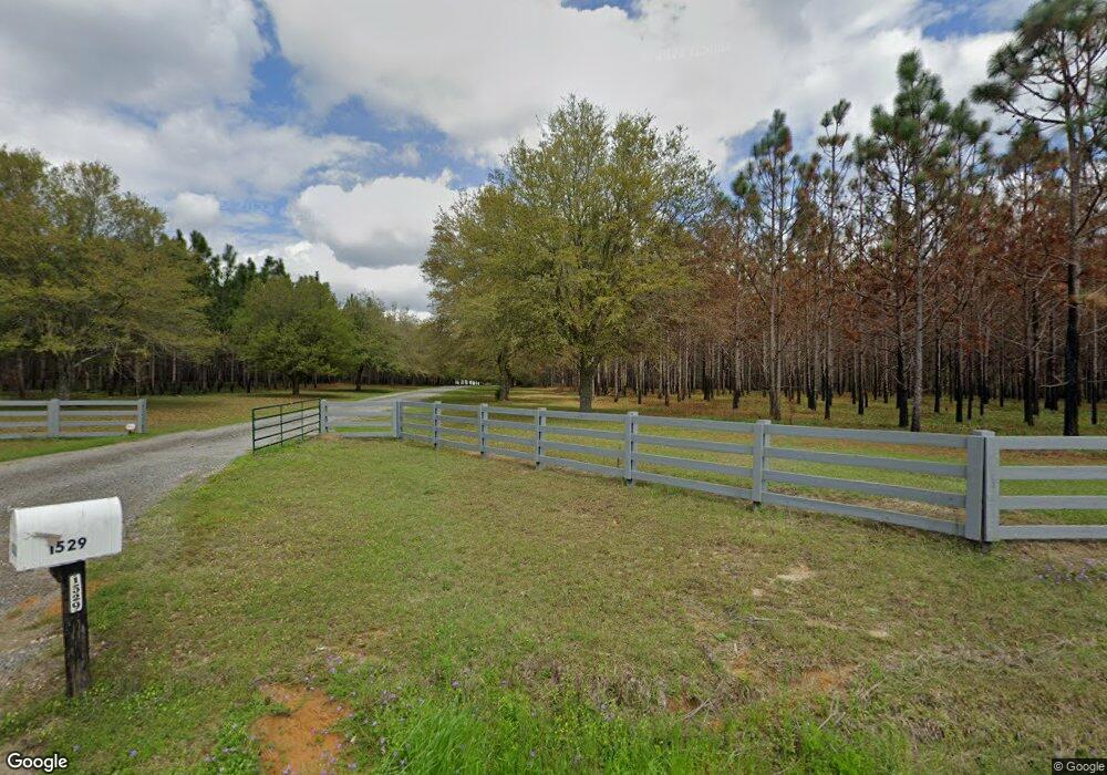
1529 Providence Rd Whigham, GA 39897
Estimated Value: $518,000 - $2,942,000
4
Beds
3
Baths
4,556
Sq Ft
$362/Sq Ft
Est. Value
About This Home
This home is located at 1529 Providence Rd, Whigham, GA 39897 and is currently estimated at $1,647,096, approximately $361 per square foot. 1529 Providence Rd is a home.
Ownership History
Date
Name
Owned For
Owner Type
Purchase Details
Closed on
Jun 19, 2017
Bought by
Kimbrell Plantation Llc
Current Estimated Value
Purchase Details
Closed on
Dec 30, 2012
Sold by
Mason Richard Rodgers
Bought by
Richard Carolyn Mason I
Purchase Details
Closed on
Sep 16, 2003
Bought by
Mason Richard Rodgers
Purchase Details
Closed on
Jun 18, 1999
Sold by
Price John E
Bought by
Price John E
Purchase Details
Closed on
Oct 7, 1987
Bought by
Price John E
Create a Home Valuation Report for This Property
The Home Valuation Report is an in-depth analysis detailing your home's value as well as a comparison with similar homes in the area
Home Values in the Area
Average Home Value in this Area
Purchase History
| Date | Buyer | Sale Price | Title Company |
|---|---|---|---|
| Kimbrell Plantation Llc | $1,562,550 | -- | |
| Richard Carolyn Mason I | -- | -- | |
| Mason Richard Rodgers | $1,561,700 | -- | |
| Price John E | -- | -- | |
| Price John E | $225,000 | -- |
Source: Public Records
Tax History Compared to Growth
Tax History
| Year | Tax Paid | Tax Assessment Tax Assessment Total Assessment is a certain percentage of the fair market value that is determined by local assessors to be the total taxable value of land and additions on the property. | Land | Improvement |
|---|---|---|---|---|
| 2024 | $10,098 | $619,253 | $414,972 | $204,281 |
| 2023 | $8,990 | $510,799 | $337,194 | $173,605 |
| 2022 | $8,887 | $510,799 | $337,194 | $173,605 |
| 2021 | $8,763 | $509,136 | $337,194 | $171,942 |
| 2020 | $8,758 | $509,136 | $337,194 | $171,942 |
| 2019 | $8,662 | $509,136 | $337,194 | $171,942 |
| 2018 | $8,044 | $528,610 | $356,668 | $171,942 |
| 2017 | $7,636 | $528,610 | $356,668 | $171,942 |
| 2016 | $6,918 | $504,137 | $356,668 | $147,469 |
| 2015 | $6,755 | $504,137 | $356,668 | $147,469 |
| 2014 | $6,382 | $504,137 | $356,668 | $147,469 |
| 2013 | -- | $497,068 | $356,667 | $140,400 |
Source: Public Records
Map
Nearby Homes
- 723 Providence Rd
- 171 Council Ln
- 267 Providence Rd
- 490 13th St SW
- 7501 111 S
- 786 Madison Ln
- 1385 Martin Luther King Junior Ave
- 425 8th St SW
- 000 1st Ave SW
- 109 Oriac Ave SW
- 320 8th St SW
- 1718 Old 179 S
- 130 17th Ave SE
- 117 Pine Cir SW
- 112 Pine Cir SW
- 000 Magnolia Dr NW
- 460 2nd St SW
- 75 14th Ave SE
- 720 1st St SW
- 117 6th St SW
- 1480 Providence Rd
- 1616 Providence Rd
- 1219 Providence Rd
- 303 Merritt Rd
- 1283 Providence Rd
- 1680 Providence Rd
- 235 Pebble Creek Dr
- 233 Pebble Creek Dr
- 273 Pebble Creek Dr Whigham
- 325 Pebble Creek Dr
- 273 Pebble Creek Dr
- 523 Green Rd
- 321 Pebble Creek Dr
- 536 Green Rd
- 459 Green Rd
- 536 Green Rd
- 516 Green Rd
- 490 Green Rd
- 423 Green Rd
- 157 Pebble Creek Dr