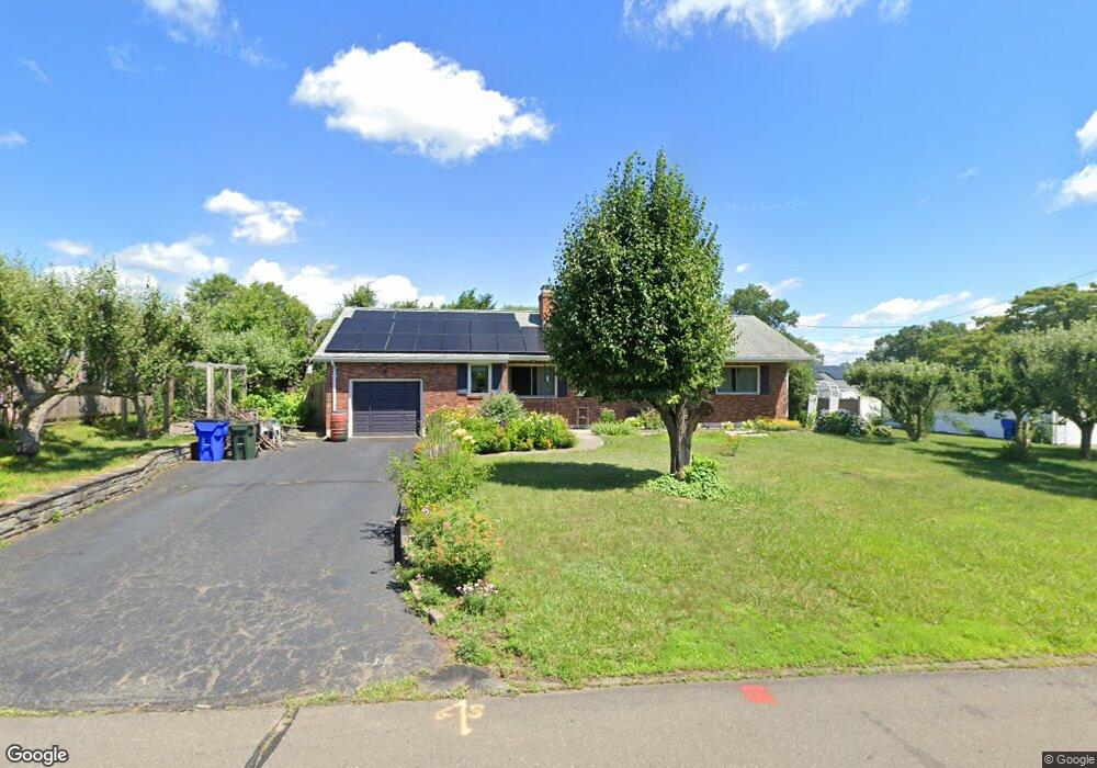
153 Amherst St Wethersfield, CT 06109
Estimated Value: $345,000 - $382,000
3
Beds
2
Baths
1,184
Sq Ft
$305/Sq Ft
Est. Value
About This Home
This home is located at 153 Amherst St, Wethersfield, CT 06109 and is currently estimated at $360,932, approximately $304 per square foot. 153 Amherst St is a home located in Hartford County with nearby schools including Emerson-Williams School, Silas Deane Middle School, and Wethersfield High School.
Ownership History
Date
Name
Owned For
Owner Type
Purchase Details
Closed on
Feb 23, 2011
Sold by
Psutka Alicia T
Bought by
Nyland Lisa
Current Estimated Value
Home Financials for this Owner
Home Financials are based on the most recent Mortgage that was taken out on this home.
Original Mortgage
$173,520
Outstanding Balance
$118,566
Interest Rate
4.75%
Estimated Equity
$242,366
Purchase Details
Closed on
Oct 19, 2005
Sold by
Psutka Alfred F
Bought by
Psutka Alicia T
Create a Home Valuation Report for This Property
The Home Valuation Report is an in-depth analysis detailing your home's value as well as a comparison with similar homes in the area
Home Values in the Area
Average Home Value in this Area
Purchase History
We collect this data history from publicly available records. To have your information removed, we recommend requesting removal directly through your county’s website.
| Date | Buyer | Sale Price | Title Company |
|---|---|---|---|
| Nyland Lisa | $216,900 | -- | |
| Psutka Alicia T | $160,000 | -- |
Source: Public Records
Mortgage History
We collect this data history from publicly available records. To have your information removed, we recommend requesting removal directly through your county’s website.
| Date | Status | Borrower | Loan Amount |
|---|---|---|---|
| Open | Psutka Alicia T | $173,520 |
Source: Public Records
Tax History
| Year | Tax Paid | Tax Assessment Tax Assessment Total Assessment is a certain percentage of the fair market value that is determined by local assessors to be the total taxable value of land and additions on the property. | Land | Improvement |
|---|---|---|---|---|
| 2025 | $8,859 | $214,930 | $70,690 | $144,240 |
| 2024 | $6,503 | $150,470 | $70,660 | $79,810 |
| 2023 | $6,287 | $150,470 | $70,660 | $79,810 |
| 2022 | $6,181 | $150,470 | $70,660 | $79,810 |
| 2021 | $6,120 | $150,470 | $70,660 | $79,810 |
| 2020 | $6,123 | $150,470 | $70,660 | $79,810 |
| 2019 | $6,130 | $150,470 | $70,660 | $79,810 |
| 2018 | $6,154 | $150,900 | $70,500 | $80,400 |
| 2017 | $6,001 | $150,900 | $70,500 | $80,400 |
| 2016 | $5,816 | $150,900 | $70,500 | $80,400 |
| 2015 | $5,763 | $150,900 | $70,500 | $80,400 |
| 2014 | $5,544 | $150,900 | $70,500 | $80,400 |
Source: Public Records
Map
Nearby Homes
- 81 Crystal St
- 269 Pine Ln
- 25 Crystal St
- 76 Harding St
- 51 Oakdale St
- 57 Concord Cir
- 295 Ridge Rd Unit 8
- 25 Toll Gate Rd
- 63 Wells Farm Dr
- 173 Timber Trail
- 18 Tabshey Ct
- 16 Ridge Crest Cir
- 19 Albert Ave
- 1 Brussels Ave
- 35 Greenfield St
- 21 Brookside Cir
- 193 Wolcott Hill Rd Unit 195
- 273 Dix Rd
- 43 Edward St
- 105 Midwell Rd
- 154 Wilmont St
- 52 Tanglewood Rd
- 145 Amherst St
- 44 Tanglewood Rd
- 146 Wilmont St
- 152 Amherst St
- 158 Amherst St
- 164 Amherst St
- 144 Amherst St
- 137 Amherst St
- 138 Wilmont St
- 170 Amherst St
- 32 Tanglewood Rd
- 157 Rutledge Rd
- 149 Rutledge Rd
- 136 Amherst St
- 177 Amherst St
- 45 Tanglewood Rd
- 165 Rutledge Rd
- 143 Rutledge Rd
Your Personal Tour Guide
Ask me questions while you tour the home.