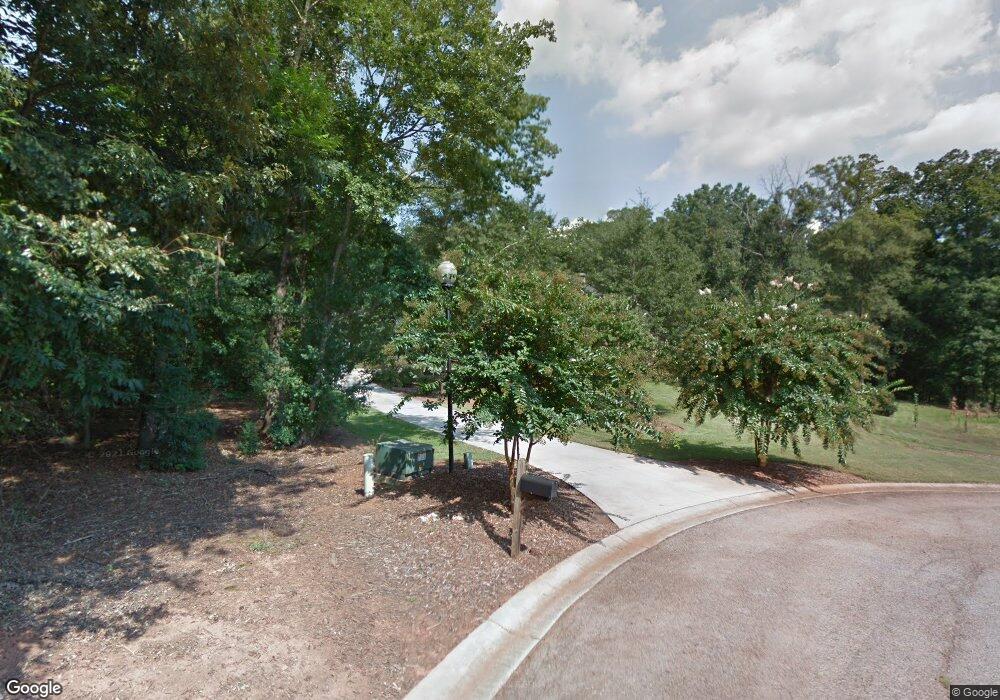
153 Ashland Dr Commerce, GA 30529
Commerce Township Downtown NeighborhoodEstimated Value: $662,000 - $1,000,000
--
Bed
5
Baths
4,158
Sq Ft
$183/Sq Ft
Est. Value
About This Home
This home is located at 153 Ashland Dr, Commerce, GA 30529 and is currently estimated at $762,505, approximately $183 per square foot. 153 Ashland Dr is a home located in Jackson County with nearby schools including Commerce Primary School, Commerce Elementary School, and Commerce Middle School.
Ownership History
Date
Name
Owned For
Owner Type
Purchase Details
Closed on
Jul 20, 2007
Sold by
Not Provided
Bought by
Massey Jon and Massey Patricia
Current Estimated Value
Home Financials for this Owner
Home Financials are based on the most recent Mortgage that was taken out on this home.
Original Mortgage
$356,597
Interest Rate
6.65%
Mortgage Type
New Conventional
Purchase Details
Closed on
Jul 29, 2004
Sold by
Booth Jean
Bought by
Massey Jon A
Create a Home Valuation Report for This Property
The Home Valuation Report is an in-depth analysis detailing your home's value as well as a comparison with similar homes in the area
Home Values in the Area
Average Home Value in this Area
Purchase History
| Date | Buyer | Sale Price | Title Company |
|---|---|---|---|
| Massey Jon | -- | -- | |
| Massey Jon A | $42,000 | -- |
Source: Public Records
Mortgage History
| Date | Status | Borrower | Loan Amount |
|---|---|---|---|
| Closed | Massey Jon | $356,597 |
Source: Public Records
Tax History Compared to Growth
Tax History
| Year | Tax Paid | Tax Assessment Tax Assessment Total Assessment is a certain percentage of the fair market value that is determined by local assessors to be the total taxable value of land and additions on the property. | Land | Improvement |
|---|---|---|---|---|
| 2024 | $7,103 | $266,480 | $14,000 | $252,480 |
| 2023 | $7,339 | $239,280 | $14,000 | $225,280 |
| 2022 | $6,043 | $187,040 | $6,000 | $181,040 |
| 2021 | $5,833 | $187,040 | $6,000 | $181,040 |
| 2020 | $5,483 | $151,920 | $6,000 | $145,920 |
| 2019 | $5,563 | $151,920 | $6,000 | $145,920 |
| 2018 | $5,260 | $144,920 | $6,000 | $138,920 |
| 2017 | $4,903 | $132,778 | $6,000 | $126,778 |
| 2016 | $4,926 | $132,778 | $6,000 | $126,778 |
| 2015 | $5,040 | $132,778 | $6,000 | $126,778 |
| 2014 | $5,081 | $132,815 | $6,000 | $126,815 |
| 2013 | -- | $132,814 | $6,000 | $126,814 |
Source: Public Records
Map
Nearby Homes
- 148 Ashland Dr
- 119 Ashland Place
- 103 Forest Hill Ct
- 86 Forest Hill Ct
- 0 Ashland Place Unit 8572207
- 116 Ashland Dr
- 81 Ashland Place
- 209 Magnolia Place
- 95 Forest Hill Ct
- 74 Ashland Dr
- 8538 Jefferson Rd
- 50 Forest Hill Ct
- 112 Glenloch Way
- 161 Magnolia Place
- 69 Forest Hill Ct
- 45 Ashland Dr
- 61 Glenloch Way
- 0 Magnolia Place Unit 7462905
- 0 Magnolia Place Unit 3125020
- 233 Magnolia Place
