153 Bailey Bridge Rd Harmony, ME 04942
Estimated Value: $304,000 - $344,000
2
Beds
1
Bath
1,600
Sq Ft
$208/Sq Ft
Est. Value
About This Home
This home is located at 153 Bailey Bridge Rd, Harmony, ME 04942 and is currently estimated at $332,316, approximately $207 per square foot. 153 Bailey Bridge Rd is a home located in Somerset County with nearby schools including Harmony Elementary School.
Ownership History
Date
Name
Owned For
Owner Type
Purchase Details
Closed on
Nov 22, 2024
Sold by
Daly John K
Bought by
Desjardins Joshua L
Current Estimated Value
Home Financials for this Owner
Home Financials are based on the most recent Mortgage that was taken out on this home.
Original Mortgage
$238,000
Outstanding Balance
$234,772
Interest Rate
6.32%
Mortgage Type
Purchase Money Mortgage
Estimated Equity
$97,544
Purchase Details
Closed on
Dec 30, 2013
Sold by
Morrison Forest Products
Bought by
Baker Sandra F
Home Financials for this Owner
Home Financials are based on the most recent Mortgage that was taken out on this home.
Original Mortgage
$159,897
Interest Rate
4.35%
Mortgage Type
New Conventional
Create a Home Valuation Report for This Property
The Home Valuation Report is an in-depth analysis detailing your home's value as well as a comparison with similar homes in the area
Purchase History
| Date | Buyer | Sale Price | Title Company |
|---|---|---|---|
| Desjardins Joshua L | $340,000 | None Available | |
| Desjardins Joshua L | $340,000 | None Available | |
| Baker Sandra F | -- | -- | |
| Baker Sandra F | -- | -- |
Source: Public Records
Mortgage History
| Date | Status | Borrower | Loan Amount |
|---|---|---|---|
| Open | Desjardins Joshua L | $238,000 | |
| Closed | Desjardins Joshua L | $238,000 | |
| Previous Owner | Baker Sandra F | $159,897 |
Source: Public Records
Tax History
| Year | Tax Paid | Tax Assessment Tax Assessment Total Assessment is a certain percentage of the fair market value that is determined by local assessors to be the total taxable value of land and additions on the property. | Land | Improvement |
|---|---|---|---|---|
| 2025 | $3,216 | $235,280 | $55,400 | $179,880 |
| 2024 | $2,529 | $235,280 | $55,400 | $179,880 |
| 2023 | $2,116 | $114,390 | $36,000 | $78,390 |
| 2022 | $2,050 | $113,890 | $36,000 | $77,890 |
| 2021 | $2,157 | $113,890 | $36,000 | $77,890 |
| 2020 | $2,101 | $113,890 | $36,000 | $77,890 |
| 2018 | $1,942 | $113,890 | $36,000 | $77,890 |
| 2017 | $1,868 | $113,890 | $36,000 | $77,890 |
| 2016 | $1,993 | $113,890 | $36,000 | $77,890 |
Source: Public Records
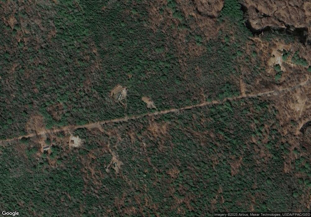
Map
Nearby Homes
- 76 Bailey Bridge Rd
- 32 Lake Como Dr
- 108 South Rd
- 11 Castle Rd
- 10 Castle Rd
- 39 Main St
- 92 Athens Rd
- 1180 Great Moose Dr
- 00 Chadbourne Rd
- 113 Bunker Ln
- PO M23-L6 Great Moose Dr
- Map3 L14 N Rd
- TBD Great Moose Pond Dr
- PL5,6,9,10 Great Moose Dr
- 11 Finson Rd
- 001-352 Stream Rd
- 118 Athens Rd
- 318 Bigelow Rd
- 000 Huff Hill Rd E
- 69 Ward Rd
- 121 Bailey Bridge Rd
- 65 Bailey Bridge Rd
- 0 Wild Goose Dr
- 0 Wild Goose Dr
- 0 Wild Goose Dr
- 0 Wild Goose Dr
- 143 Castle Rd
- Lot 3 "Pon Castle Rd
- 113 Castle Rd
- 112 Castle Rd
- 163 South Rd
- 157 South Rd
- 169 South Rd
- 164 South Rd
- 168 South Rd
- 8 Lake Como Dr
- 96 Castle Rd
- 137 South Rd
- 57 Pickerel Cove Rd
- 44 Pickerel Cove Rd
Your Personal Tour Guide
Ask me questions while you tour the home.