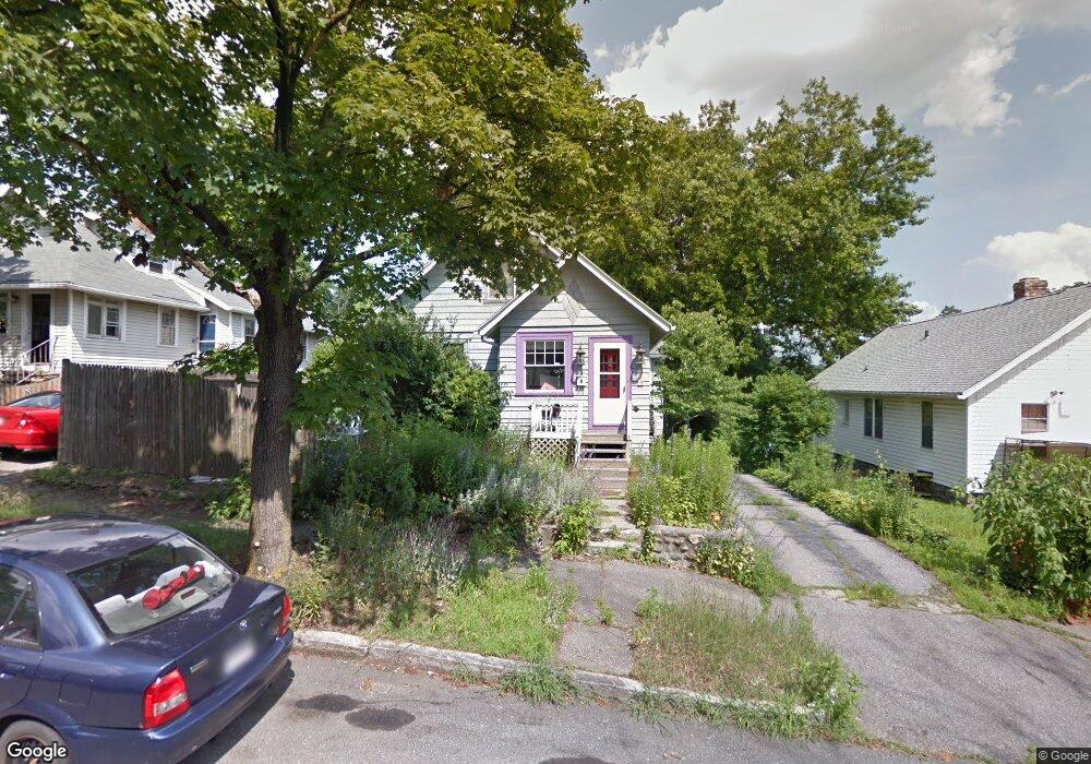
153 Barnard Rd Worcester, MA 01605
North Lincoln Street NeighborhoodEstimated Value: $419,000 - $443,000
3
Beds
3
Baths
1,300
Sq Ft
$330/Sq Ft
Est. Value
About This Home
This home is located at 153 Barnard Rd, Worcester, MA 01605 and is currently estimated at $429,057, approximately $330 per square foot. 153 Barnard Rd is a home located in Worcester County with nearby schools including Jacob Hiatt Magnet School, Chandler Magnet, and Wawecus Road School.
Ownership History
Date
Name
Owned For
Owner Type
Purchase Details
Closed on
Mar 6, 2020
Sold by
Johnson Janet K
Bought by
Johnson Janet K and Matthews Raymond A
Current Estimated Value
Purchase Details
Closed on
Nov 27, 2002
Sold by
Beaupre Jean G and Giguere Jean F
Bought by
Johnson Janet K
Home Financials for this Owner
Home Financials are based on the most recent Mortgage that was taken out on this home.
Original Mortgage
$111,000
Interest Rate
6.16%
Mortgage Type
Purchase Money Mortgage
Create a Home Valuation Report for This Property
The Home Valuation Report is an in-depth analysis detailing your home's value as well as a comparison with similar homes in the area
Home Values in the Area
Average Home Value in this Area
Purchase History
| Date | Buyer | Sale Price | Title Company |
|---|---|---|---|
| Johnson Janet K | -- | None Available | |
| Johnson Janet K | $194,000 | -- |
Source: Public Records
Mortgage History
| Date | Status | Borrower | Loan Amount |
|---|---|---|---|
| Previous Owner | Johnson Janet K | $111,000 |
Source: Public Records
Tax History Compared to Growth
Tax History
| Year | Tax Paid | Tax Assessment Tax Assessment Total Assessment is a certain percentage of the fair market value that is determined by local assessors to be the total taxable value of land and additions on the property. | Land | Improvement |
|---|---|---|---|---|
| 2025 | $4,423 | $335,300 | $118,700 | $216,600 |
| 2024 | $4,344 | $315,900 | $118,700 | $197,200 |
| 2023 | $4,161 | $290,200 | $103,200 | $187,000 |
| 2022 | $3,789 | $249,100 | $82,600 | $166,500 |
| 2021 | $3,617 | $222,200 | $66,100 | $156,100 |
| 2020 | $3,553 | $209,000 | $66,100 | $142,900 |
| 2019 | $3,355 | $186,400 | $59,500 | $126,900 |
| 2018 | $3,351 | $177,200 | $59,500 | $117,700 |
| 2017 | $3,250 | $169,100 | $59,500 | $109,600 |
| 2016 | $3,190 | $154,800 | $43,700 | $111,100 |
| 2015 | $3,107 | $154,800 | $43,700 | $111,100 |
| 2014 | $3,025 | $154,800 | $43,700 | $111,100 |
Source: Public Records
Map
Nearby Homes
- 37 Kenwood Ave
- 87 W Boylston St
- 93 W Boylston St
- 89 W Boylston St Unit 4
- 10 Hemans St Unit 9
- 11 Gifford Dr
- 23 Dryden St
- 15 Boardman St
- 26 Tower St
- 30 Boardman St
- 10 Dryden St Unit 7
- 23 Ashton St
- 40 Hastings Ave
- 44 Boardman St
- 73 Paine St
- 36 Melrose St
- 19 Mckinley Rd
- 71 Edgeworth St Unit 21
- 42 Hastings Ave
- 46 Hastings Ave
- 155 Barnard Rd
- 151 Barnard Rd
- 149 Barnard Rd
- 149 Barnard Rd Unit 1-B
- 134 Burncoat Terrace
- 147 Barnard Rd
- 158 Barnard Rd
- 88 Burncoat Terrace
- 156 Barnard Rd
- 145 Barnard Rd
- 154 Barnard Rd
- 143 Barnard Rd
- 152 Barnard Rd
- 128 Burncoat Terrace
- 150 Barnard Rd
- 141 Barnard Rd
- 67 Burncoat Terrace
- 148 Barnard Rd
- 139 Barnard Rd
- 65 Burncoat Terrace