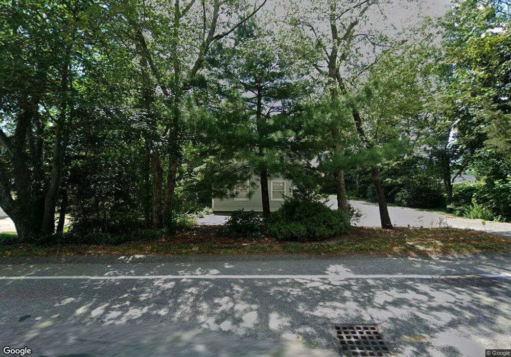
153 Bay Rd Duxbury, MA 02332
South Duxbury NeighborhoodEstimated Value: $1,843,852 - $2,119,000
3
Beds
3
Baths
3,210
Sq Ft
$608/Sq Ft
Est. Value
About This Home
This home is located at 153 Bay Rd, Duxbury, MA 02332 and is currently estimated at $1,953,213, approximately $608 per square foot. 153 Bay Rd is a home located in Plymouth County with nearby schools including Chandler Elementary School, Alden School, and Duxbury Middle School.
Ownership History
Date
Name
Owned For
Owner Type
Purchase Details
Closed on
Mar 24, 2010
Sold by
Montgomery Lisa A and Goldfarb Lisa
Bought by
Lisa A Montgomery Ft and Montgomery
Current Estimated Value
Purchase Details
Closed on
Oct 21, 1992
Sold by
Rockland Trust Co
Bought by
Goldfarb Robert J
Purchase Details
Closed on
Jun 19, 1992
Sold by
Duxbury Marsh Rt
Bought by
Rockland T Co
Purchase Details
Closed on
Jun 17, 1992
Sold by
Duxbury Marsh Rt
Bought by
Rockland Tr Co
Create a Home Valuation Report for This Property
The Home Valuation Report is an in-depth analysis detailing your home's value as well as a comparison with similar homes in the area
Home Values in the Area
Average Home Value in this Area
Purchase History
| Date | Buyer | Sale Price | Title Company |
|---|---|---|---|
| Lisa A Montgomery Ft | -- | -- | |
| Lisa A Montgomery Ft | -- | -- | |
| Goldfarb Robert J | $330,000 | -- | |
| Rockland T Co | $385,000 | -- | |
| Rockland Tr Co | $385,000 | -- |
Source: Public Records
Mortgage History
| Date | Status | Borrower | Loan Amount |
|---|---|---|---|
| Previous Owner | Rockland Tr Co | $100,000 | |
| Previous Owner | Rockland Tr Co | $50,000 | |
| Previous Owner | Rockland Tr Co | $202,300 |
Source: Public Records
Tax History Compared to Growth
Tax History
| Year | Tax Paid | Tax Assessment Tax Assessment Total Assessment is a certain percentage of the fair market value that is determined by local assessors to be the total taxable value of land and additions on the property. | Land | Improvement |
|---|---|---|---|---|
| 2025 | $16,542 | $1,631,400 | $969,200 | $662,200 |
| 2024 | $14,974 | $1,488,500 | $830,600 | $657,900 |
| 2023 | $17,372 | $1,625,100 | $1,127,600 | $497,500 |
| 2022 | $17,358 | $1,351,900 | $880,000 | $471,900 |
| 2021 | $15,220 | $1,051,100 | $640,400 | $410,700 |
| 2020 | $14,606 | $996,300 | $570,400 | $425,900 |
| 2019 | $14,667 | $999,100 | $563,600 | $435,500 |
| 2018 | $13,827 | $912,100 | $493,400 | $418,700 |
| 2017 | $13,647 | $879,900 | $483,800 | $396,100 |
| 2016 | $13,225 | $850,500 | $454,400 | $396,100 |
| 2015 | $13,404 | $859,200 | $454,400 | $404,800 |
Source: Public Records
Map
Nearby Homes
- 104 Standish St
- 0 Standish St
- 68 Depot St
- 10 Summerhouse Ln
- 65 Myles View Dr
- 54 Marshall St
- 59 Priscilla Ave
- 117 Soule Ave
- 8 Eagles Nest Rd
- 66 Seabury Point Rd
- 124 Evergreen St
- 157 Washington St
- 20 Possum Run
- 6 Priscilla Rd
- 100 Patten Ln
- 30 Cushing Dr
- 20 Island Creek Rd
- 19 Flint Locke Dr
- 375 Marshall St
- 260 Washington St