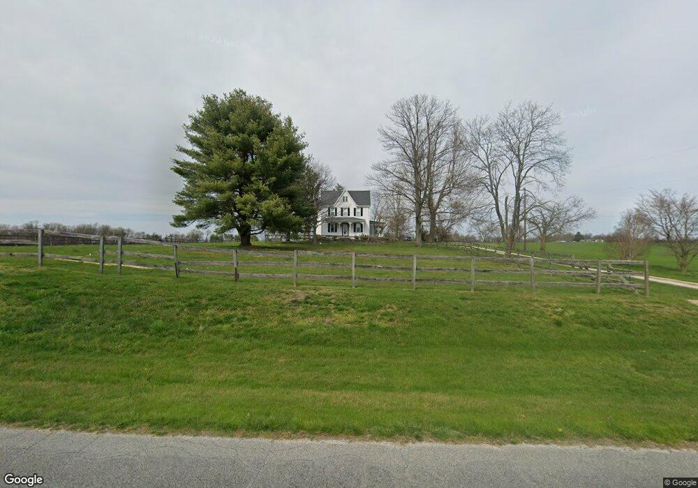
153 Black Rd Pilesgrove, NJ 08098
Estimated Value: $549,097 - $618,000
--
Bed
--
Bath
3,016
Sq Ft
$196/Sq Ft
Est. Value
About This Home
This home is located at 153 Black Rd, Pilesgrove, NJ 08098 and is currently estimated at $591,024, approximately $195 per square foot. 153 Black Rd is a home located in Salem County with nearby schools including Mannington Township School.
Ownership History
Date
Name
Owned For
Owner Type
Purchase Details
Closed on
Dec 20, 2000
Sold by
Fisher David C and Fisher Carol S
Bought by
Steves Christopher A and Steves Jacqueline
Current Estimated Value
Home Financials for this Owner
Home Financials are based on the most recent Mortgage that was taken out on this home.
Original Mortgage
$26,000
Outstanding Balance
$9,704
Interest Rate
7.7%
Mortgage Type
Credit Line Revolving
Estimated Equity
$581,320
Purchase Details
Closed on
Jun 4, 1982
Bought by
Steves Christopher A and Steves Jacqueline
Create a Home Valuation Report for This Property
The Home Valuation Report is an in-depth analysis detailing your home's value as well as a comparison with similar homes in the area
Home Values in the Area
Average Home Value in this Area
Purchase History
| Date | Buyer | Sale Price | Title Company |
|---|---|---|---|
| Steves Christopher A | $260,000 | -- | |
| Steves Christopher A | $44,500 | -- |
Source: Public Records
Mortgage History
| Date | Status | Borrower | Loan Amount |
|---|---|---|---|
| Open | Steves Christopher A | $26,000 | |
| Open | Steves Christopher A | $208,000 |
Source: Public Records
Tax History Compared to Growth
Tax History
| Year | Tax Paid | Tax Assessment Tax Assessment Total Assessment is a certain percentage of the fair market value that is determined by local assessors to be the total taxable value of land and additions on the property. | Land | Improvement |
|---|---|---|---|---|
| 2025 | $10,330 | $297,100 | $42,200 | $254,900 |
| 2024 | $10,256 | $297,100 | $42,200 | $254,900 |
| 2023 | $10,256 | $297,100 | $42,200 | $254,900 |
| 2022 | $10,300 | $297,100 | $42,200 | $254,900 |
| 2021 | $10,054 | $297,100 | $42,200 | $254,900 |
| 2020 | $9,448 | $297,100 | $42,200 | $254,900 |
| 2019 | $9,198 | $297,100 | $42,200 | $254,900 |
| 2018 | $8,776 | $297,100 | $42,200 | $254,900 |
| 2017 | $8,542 | $297,100 | $42,200 | $254,900 |
| 2016 | $8,108 | $297,100 | $42,200 | $254,900 |
| 2015 | $7,496 | $297,100 | $42,200 | $254,900 |
| 2014 | $7,264 | $297,100 | $42,200 | $254,900 |
Source: Public Records
Map
Nearby Homes
- 18 Church St
- 39 Main St
- 22 Green Steet
- 204 Compromise Rd
- 0 Mannington Yorketown Rd Unit NJSA2016390
- 647 Route 45
- 1045 Route 40
- 588 Harding Hwy
- 1007 Harding Hwy
- 79 E Quillytown Rd
- 76 West Ave
- 22 Alloway Rd
- 64 W Millbrooke Ave
- 13 Alloway Rd
- 39 Green St
- 133 Spring Garden St
- 35 Green St
- L13 Highway 40 W
- 0 Penns Grove Auburn Rd Unit NJSA2008994
- 15 E Grant St