153 Cedar St Pataskala, OH 43062
Studio
--
Bath
2,886
Sq Ft
10,019
Sq Ft Lot
About This Home
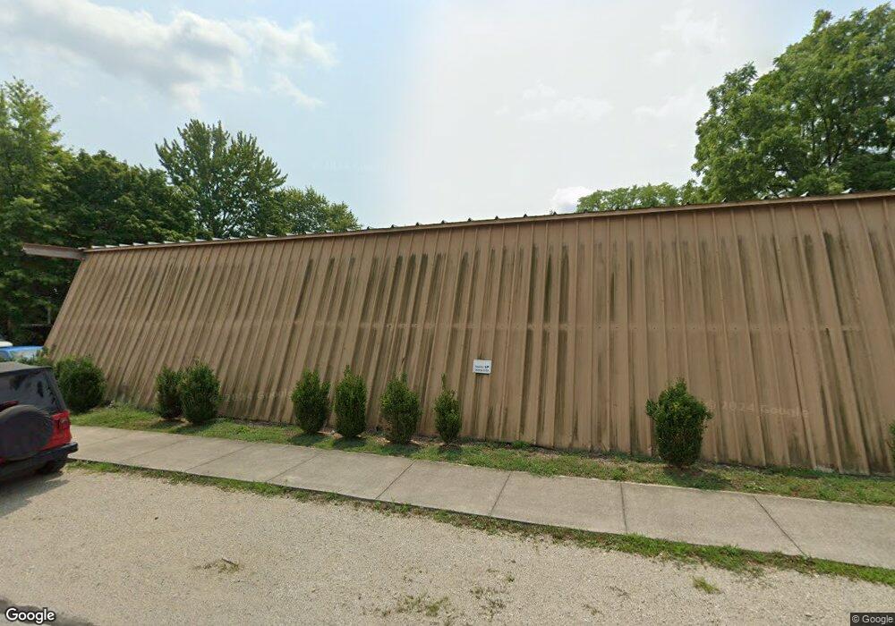
This home is located at 153 Cedar St, Pataskala, OH 43062. 153 Cedar St is a home located in Licking County with nearby schools including Pataskala Elementary School, Etna Elementary School, and Watkins Middle School.
Ownership History
Date
Name
Owned For
Owner Type
Purchase Details
Closed on
Jan 7, 2016
Sold by
Southwest Licking Local Schools
Bought by
Imw Commercial Llc
Purchase Details
Closed on
Sep 26, 2011
Sold by
Salvage Myco and Keyser Delmar
Bought by
Southwest Licking Local Schools
Purchase Details
Closed on
Nov 5, 2003
Sold by
Keyser Delmar E and Keyser Shirley A
Bought by
Myco Salvage Inc
Home Financials for this Owner
Home Financials are based on the most recent Mortgage that was taken out on this home.
Original Mortgage
$155,000
Interest Rate
5.81%
Mortgage Type
Seller Take Back
Create a Home Valuation Report for This Property
The Home Valuation Report is an in-depth analysis detailing your home's value as well as a comparison with similar homes in the area
Home Values in the Area
Average Home Value in this Area
Purchase History
| Date | Buyer | Sale Price | Title Company |
|---|---|---|---|
| Imw Commercial Llc | $90,000 | Hayes Title | |
| Southwest Licking Local Schools | $30,000 | Attorney | |
| Myco Salvage Inc | $127,000 | -- |
Source: Public Records
Mortgage History
| Date | Status | Borrower | Loan Amount |
|---|---|---|---|
| Previous Owner | Myco Salvage Inc | $155,000 |
Source: Public Records
Tax History
| Year | Tax Paid | Tax Assessment Tax Assessment Total Assessment is a certain percentage of the fair market value that is determined by local assessors to be the total taxable value of land and additions on the property. | Land | Improvement |
|---|---|---|---|---|
| 2024 | $1,707 | $38,230 | $18,240 | $19,990 |
| 2023 | $1,701 | $38,230 | $18,240 | $19,990 |
| 2022 | $840 | $15,410 | $7,180 | $8,230 |
| 2021 | $870 | $15,410 | $7,180 | $8,230 |
| 2020 | $892 | $15,410 | $7,180 | $8,230 |
| 2019 | $915 | $15,410 | $7,180 | $8,230 |
| 2018 | $927 | $0 | $0 | $0 |
| 2017 | $930 | $0 | $0 | $0 |
| 2016 | $0 | $0 | $0 | $0 |
| 2015 | -- | $0 | $0 | $0 |
| 2014 | -- | $0 | $0 | $0 |
| 2013 | -- | $0 | $0 | $0 |
Source: Public Records
Map
Nearby Homes
- 81 Town St
- 303 Levi Dr Unit Lot 7
- 186 Markway Dr Unit Lot 12
- 188 Markway Dr Unit Lot 13
- 388 S Township Rd
- 0 Blacks Rd Unit 215031989
- 0 Blacks Rd Unit Lot 10
- 116 Ruby Rd
- 0 E Broad St
- 263 International Dr
- 402 Shawnee Loop S
- 456 Joseph van Dorn Ct
- 342 Isaac Tharp St
- 27 1st St SW
- 420 Waterlily Ln
- 405 Waterlily Ln
- 411 Broadview Ct
- 366 Isaac Tharp St
- 308 Reign Way
- 306 Reign Way
- 108 Cedar St
- 96 Cedar St
- 271 S Vine St
- 281 S Vine St
- 281 S Vine St
- 255 S Vine St
- 0 Railroad St Unit 2310722
- 0 Railroad St Unit 40501
- 0 Railroad St Unit 19
- 249 S Vine St
- 285 S High St
- 291 S High St
- 299 S High St
- 295 S High St
- 238 S Vine St
- 235 S Vine St
- 271 S High St
- 230 S Vine St
- 148 Cedar St
- 155 Cedar St
Your Personal Tour Guide
Ask me questions while you tour the home.