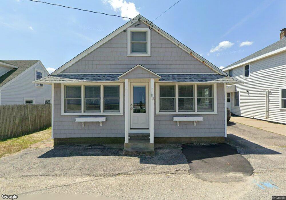
153 Foster Ave Marshfield, MA 02050
Ocean Bluff-Brant Rock NeighborhoodEstimated Value: $515,000 - $533,333
2
Beds
1
Bath
836
Sq Ft
$624/Sq Ft
Est. Value
About This Home
This home is located at 153 Foster Ave, Marshfield, MA 02050 and is currently estimated at $521,583, approximately $623 per square foot. 153 Foster Ave is a home with nearby schools including Daniel Webster, Furnace Brook Middle School, and Marshfield High School.
Ownership History
Date
Name
Owned For
Owner Type
Purchase Details
Closed on
Feb 22, 2019
Sold by
Odonnell Carol
Bought by
Odonnell Rt and Odonnell
Current Estimated Value
Purchase Details
Closed on
Mar 14, 2011
Sold by
Madden James M and Madden Marilyn L
Bought by
Odonnell Carol and Odonnell
Create a Home Valuation Report for This Property
The Home Valuation Report is an in-depth analysis detailing your home's value as well as a comparison with similar homes in the area
Home Values in the Area
Average Home Value in this Area
Purchase History
| Date | Buyer | Sale Price | Title Company |
|---|---|---|---|
| Odonnell Rt | -- | None Available | |
| Odonnell Rt | -- | None Available | |
| Odonnell Carol | $127,500 | -- | |
| Odonnell Carol | $127,500 | -- | |
| Sunrise Beach Rt | -- | -- |
Source: Public Records
Tax History
| Year | Tax Paid | Tax Assessment Tax Assessment Total Assessment is a certain percentage of the fair market value that is determined by local assessors to be the total taxable value of land and additions on the property. | Land | Improvement |
|---|---|---|---|---|
| 2025 | $4,640 | $468,700 | $341,600 | $127,100 |
| 2024 | $4,628 | $445,400 | $325,300 | $120,100 |
| 2023 | $4,705 | $397,700 | $298,200 | $99,500 |
| 2022 | $4,705 | $363,300 | $271,100 | $92,200 |
| 2021 | $4,433 | $336,100 | $253,500 | $82,600 |
| 2020 | $4,290 | $321,800 | $244,000 | $77,800 |
| 2019 | $4,241 | $317,000 | $244,000 | $73,000 |
| 2018 | $3,912 | $292,600 | $219,600 | $73,000 |
| 2017 | $3,843 | $280,100 | $219,600 | $60,500 |
| 2016 | $3,662 | $263,800 | $203,300 | $60,500 |
| 2015 | $3,711 | $279,200 | $219,600 | $59,600 |
| 2014 | $3,614 | $271,900 | $216,900 | $55,000 |
Source: Public Records
Map
Nearby Homes
- 157 Foster Ave
- 149 Foster Ave Unit 1
- 149 Foster Ave
- 18 4th Rd
- 17 5th Rd
- 161 Foster Ave
- 158 Foster Ave
- 158 Foster Ave Unit 158
- 158 Foster Ave Unit 1
- 22 4th Rd
- Lot 4 Strawberry Farm Rd
- 19 5th Rd
- 3 5th Rd
- 148 Foster Ave Unit 148
- 148 Foster Ave Unit 1
- Lot 5 Strawberry Farm Rd
- 24 4th Rd
- 143 Foster Ave
- 23 5th Rd
- 17 4th Rd
Your Personal Tour Guide
Ask me questions while you tour the home.