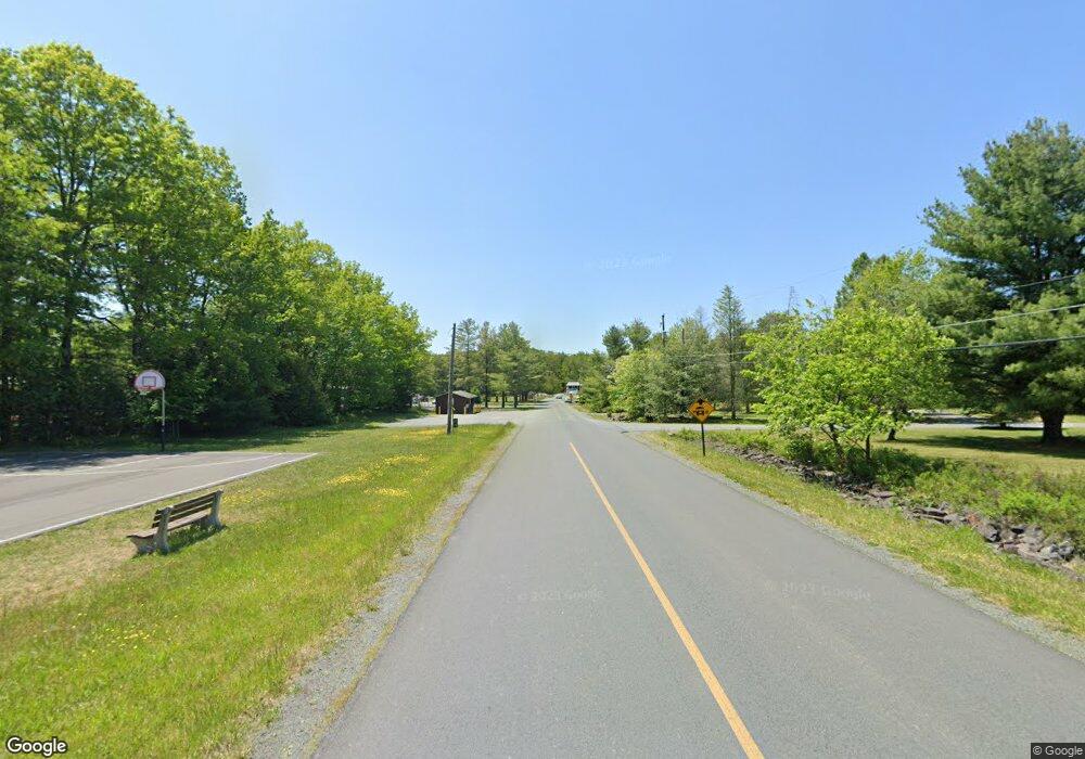
153 Glade Dr Long Pond, PA 18334
Estimated Value: $311,000 - $401,000
3
Beds
3
Baths
1,896
Sq Ft
$180/Sq Ft
Est. Value
About This Home
This home is located at 153 Glade Dr, Long Pond, PA 18334 and is currently estimated at $341,569, approximately $180 per square foot. 153 Glade Dr is a home located in Monroe County with nearby schools including Clear Run Intermediate School, Pocono Mountain West Junior High School, and Pocono Mountain West High School.
Ownership History
Date
Name
Owned For
Owner Type
Purchase Details
Closed on
Mar 17, 2022
Sold by
Francine Witt
Bought by
Cruz Brian and Cruz Maria E
Current Estimated Value
Home Financials for this Owner
Home Financials are based on the most recent Mortgage that was taken out on this home.
Original Mortgage
$207,570
Outstanding Balance
$192,882
Interest Rate
3.45%
Mortgage Type
FHA
Estimated Equity
$148,687
Purchase Details
Closed on
Mar 11, 2022
Sold by
Francine Witt
Bought by
Cruz Brian and Cruz Maria E
Home Financials for this Owner
Home Financials are based on the most recent Mortgage that was taken out on this home.
Original Mortgage
$207,570
Outstanding Balance
$192,882
Interest Rate
3.45%
Mortgage Type
FHA
Estimated Equity
$148,687
Purchase Details
Closed on
Aug 1, 2000
Bought by
Mahama Joseph D and Mahama Grace Y
Create a Home Valuation Report for This Property
The Home Valuation Report is an in-depth analysis detailing your home's value as well as a comparison with similar homes in the area
Home Values in the Area
Average Home Value in this Area
Purchase History
| Date | Buyer | Sale Price | Title Company |
|---|---|---|---|
| Cruz Brian | $272,500 | Amrock | |
| Cruz Brian | $272,500 | Amrock | |
| Mahama Joseph D | $175,900 | -- |
Source: Public Records
Mortgage History
| Date | Status | Borrower | Loan Amount |
|---|---|---|---|
| Open | Cruz Brian | $207,570 |
Source: Public Records
Tax History Compared to Growth
Tax History
| Year | Tax Paid | Tax Assessment Tax Assessment Total Assessment is a certain percentage of the fair market value that is determined by local assessors to be the total taxable value of land and additions on the property. | Land | Improvement |
|---|---|---|---|---|
| 2025 | $1,029 | $128,960 | $19,840 | $109,120 |
| 2024 | $835 | $128,960 | $19,840 | $109,120 |
| 2023 | $3,279 | $128,960 | $19,840 | $109,120 |
| 2022 | $3,233 | $128,960 | $19,840 | $109,120 |
| 2021 | $3,233 | $128,960 | $19,840 | $109,120 |
| 2020 | $2,780 | $128,960 | $19,840 | $109,120 |
| 2019 | $4,930 | $28,710 | $4,500 | $24,210 |
| 2018 | $4,930 | $28,710 | $4,500 | $24,210 |
| 2017 | $4,988 | $28,710 | $4,500 | $24,210 |
| 2016 | $1,046 | $28,710 | $4,500 | $24,210 |
| 2015 | -- | $28,710 | $4,500 | $24,210 |
| 2014 | -- | $28,710 | $4,500 | $24,210 |
Source: Public Records
Map
Nearby Homes
- 1591 Clover Rd
- 306 Cedar Dr
- 5788 Clover Rd
- 7237 Clover Rd
- 200 W Clover Ct
- 144 Overland Dr
- 255 Cedar Dr
- 387 Clearview Dr
- 1646 Clover Rd
- 130 Granite Rd
- 1456 Clover Rd
- 2327 Doe Dr
- 798 Sullivan Trail
- 211 Beaver Dam Rd
- 663 Sullivan Trail
- 439 Cedar Dr
- 181 Cedar Dr
- 2133 Wild Laurel Dr
- 453 Cedar Dr
- 237 Ash Dr
