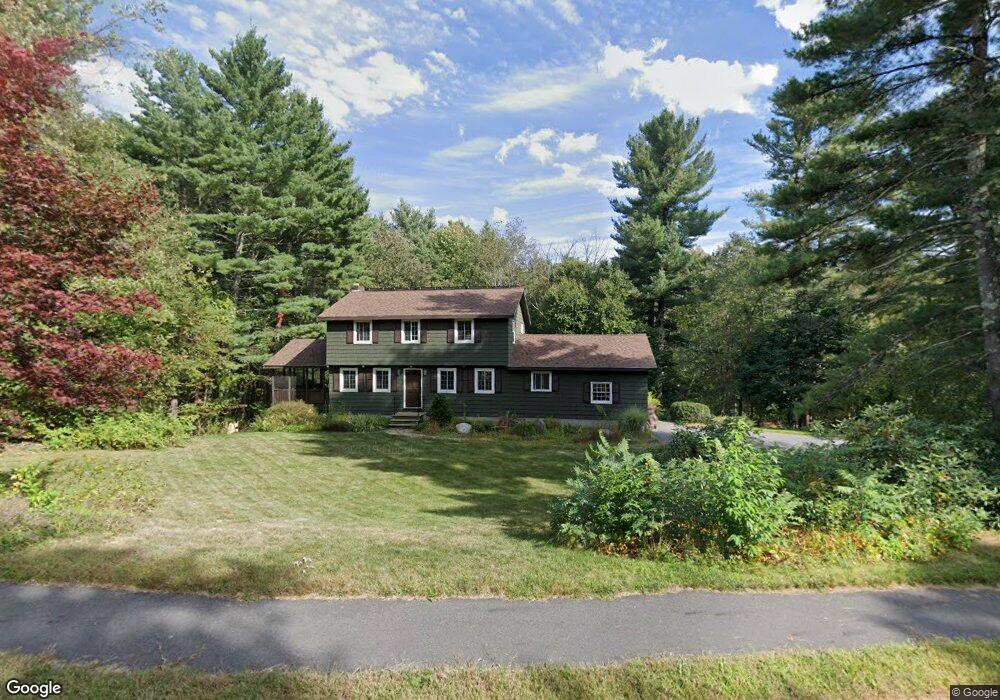
153 Guggins Ln Boxborough, MA 01719
Estimated Value: $785,539 - $1,142,000
4
Beds
2
Baths
2,036
Sq Ft
$437/Sq Ft
Est. Value
About This Home
This home is located at 153 Guggins Ln, Boxborough, MA 01719 and is currently estimated at $888,885, approximately $436 per square foot. 153 Guggins Ln is a home located in Middlesex County with nearby schools including Acton-Boxborough Regional High School.
Ownership History
Date
Name
Owned For
Owner Type
Purchase Details
Closed on
Apr 10, 2001
Sold by
Hedberg Kenneth B and Hedberg Ruth R
Bought by
Brolin Christopher E and Brolin Mary F
Current Estimated Value
Home Financials for this Owner
Home Financials are based on the most recent Mortgage that was taken out on this home.
Original Mortgage
$348,000
Outstanding Balance
$128,573
Interest Rate
7.05%
Mortgage Type
Purchase Money Mortgage
Estimated Equity
$760,312
Create a Home Valuation Report for This Property
The Home Valuation Report is an in-depth analysis detailing your home's value as well as a comparison with similar homes in the area
Home Values in the Area
Average Home Value in this Area
Purchase History
| Date | Buyer | Sale Price | Title Company |
|---|---|---|---|
| Brolin Christopher E | $435,000 | -- |
Source: Public Records
Mortgage History
| Date | Status | Borrower | Loan Amount |
|---|---|---|---|
| Open | Brolin Christopher E | $348,000 | |
| Previous Owner | Brolin Christopher E | $130,000 |
Source: Public Records
Tax History
| Year | Tax Paid | Tax Assessment Tax Assessment Total Assessment is a certain percentage of the fair market value that is determined by local assessors to be the total taxable value of land and additions on the property. | Land | Improvement |
|---|---|---|---|---|
| 2025 | $10,085 | $666,100 | $282,900 | $383,200 |
| 2024 | $9,364 | $624,700 | $271,400 | $353,300 |
| 2023 | $8,998 | $579,800 | $244,000 | $335,800 |
| 2022 | $8,870 | $509,200 | $244,000 | $265,200 |
| 2020 | $8,099 | $484,400 | $244,000 | $240,400 |
| 2019 | $7,954 | $484,400 | $244,000 | $240,400 |
| 2018 | $8,153 | $460,300 | $232,600 | $227,700 |
| 2017 | $7,551 | $449,200 | $232,600 | $216,600 |
| 2016 | $7,213 | $440,900 | $232,600 | $208,300 |
| 2015 | $6,825 | $409,900 | $204,000 | $205,900 |
| 2014 | $6,911 | $390,700 | $200,000 | $190,700 |
Source: Public Records
Map
Nearby Homes
- 134 Russet Ln Unit 134
- 4 Littlefield Rd
- 631 Massachusetts Ave Unit 631
- 79 Old Orchard Ln
- 77 Wheeler Dr Unit 77
- 20 Lyons Ln Unit 20
- 235 Arlington St
- 92 Willow St Unit 3
- 92 Willow St Unit 2
- 90 Willow St Unit 1
- 5 Perkins Ln
- 40 Fifers Ln
- 959 Hill Rd
- 20 Joseph Reed Ln
- 36 Leonard Rd
- 79 Charter Rd
- 280 W Acton Rd
- 247 W Acton Rd
- 40 Ridgewood Dr Unit 40
- 58 Spencer Rd Unit 32K
- 131 Guggins Ln
- 131 Guggins Ln Unit 1
- 131 Guggins Ln Unit 131
- 169 Guggins Ln
- 146 Guggins Ln
- 183 Guggins Ln
- 115 Guggins Ln
- 132 Guggins Ln
- 228 Liberty Square Rd
- 162 Guggins Ln
- 218 Liberty Square Rd
- 70 Box Mill Rd
- 196 Liberty Square Rd
- 103 Guggins Ln
- LOT A Whitcomb Rd
- LOT 1 Sadler Farm Ln
- LOT 3 Sadler Farm Ln
- L-20 Hill Rd
- LOT 1 Barteau Ln
- Lot 1 Hughes Ln
Your Personal Tour Guide
Ask me questions while you tour the home.