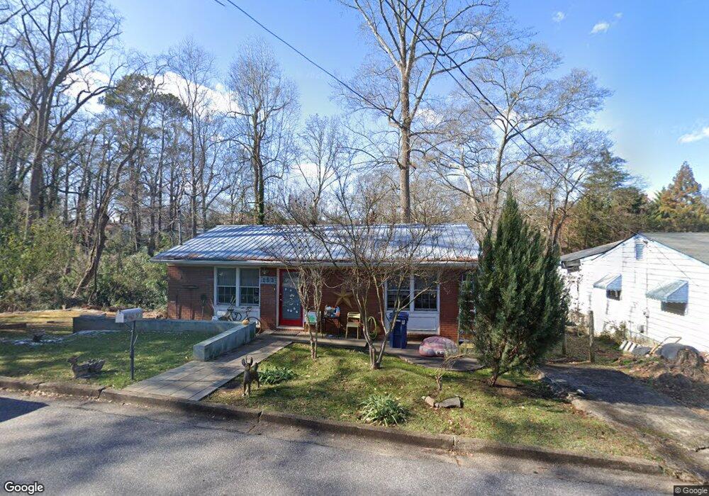
153 Hiawassee Ave Athens, GA 30601
Boulevard NeighborhoodEstimated Value: $253,116 - $347,000
--
Bed
--
Bath
864
Sq Ft
$356/Sq Ft
Est. Value
About This Home
This home is located at 153 Hiawassee Ave, Athens, GA 30601 and is currently estimated at $307,279, approximately $355 per square foot. 153 Hiawassee Ave is a home located in Clarke County with nearby schools including Johnnie Lay Burks Elementary School, Clarke Middle School, and Clarke Central High School.
Ownership History
Date
Name
Owned For
Owner Type
Purchase Details
Closed on
Sep 24, 2021
Sold by
Dazzo John A
Bought by
Dazzo John Anthony and Bishop Maureen Elizabeth
Current Estimated Value
Home Financials for this Owner
Home Financials are based on the most recent Mortgage that was taken out on this home.
Original Mortgage
$75,667
Outstanding Balance
$56,972
Interest Rate
2.8%
Mortgage Type
New Conventional
Estimated Equity
$250,307
Purchase Details
Closed on
Aug 26, 2004
Sold by
Ellis Tom
Bought by
D'Azzo John A
Purchase Details
Closed on
May 28, 2004
Sold by
Fernie Foundation L L C
Bought by
Ellis Tom
Purchase Details
Closed on
Dec 29, 1994
Sold by
Maxwell Clyde F and Maxwell Ralph B
Bought by
Fernie Foundation L L C
Create a Home Valuation Report for This Property
The Home Valuation Report is an in-depth analysis detailing your home's value as well as a comparison with similar homes in the area
Home Values in the Area
Average Home Value in this Area
Purchase History
| Date | Buyer | Sale Price | Title Company |
|---|---|---|---|
| Dazzo John Anthony | -- | -- | |
| D'Azzo John A | $91,000 | -- | |
| Ellis Tom | $70,000 | -- | |
| Fernie Foundation L L C | -- | -- |
Source: Public Records
Mortgage History
| Date | Status | Borrower | Loan Amount |
|---|---|---|---|
| Open | Dazzo John Anthony | $75,667 |
Source: Public Records
Tax History Compared to Growth
Tax History
| Year | Tax Paid | Tax Assessment Tax Assessment Total Assessment is a certain percentage of the fair market value that is determined by local assessors to be the total taxable value of land and additions on the property. | Land | Improvement |
|---|---|---|---|---|
| 2025 | $2,228 | $90,847 | $41,600 | $49,247 |
| 2024 | $2,228 | $82,784 | $38,400 | $44,384 |
| 2023 | $1,301 | $76,645 | $35,200 | $41,445 |
| 2022 | $1,836 | $67,564 | $35,200 | $32,364 |
| 2021 | $1,769 | $62,499 | $35,200 | $27,299 |
| 2020 | $1,682 | $59,909 | $35,200 | $24,709 |
| 2019 | $1,517 | $54,679 | $32,000 | $22,679 |
| 2018 | $1,365 | $50,219 | $28,800 | $21,419 |
| 2017 | $1,342 | $49,519 | $28,800 | $20,719 |
| 2016 | $1,280 | $47,699 | $28,800 | $18,899 |
| 2015 | $1,166 | $44,269 | $28,800 | $15,469 |
| 2014 | $1,117 | $42,788 | $25,600 | $17,188 |
Source: Public Records
Map
Nearby Homes
- 163 Easy St
- 552 Cobb St
- 195 Beulah Ave
- 283 King Ave
- 100 Crestview Cir
- 480 N Billups St
- 468 N Milledge Ave Unit 203
- 1196 W Hancock Ave Unit 1
- 1198 W West Hancock Ave W
- 390 Best Dr
- 570 Prince Ave
- 697 Barber St
- 525 King Ave
- 1398 W Hancock Ave
- 257 Hill St
- 270 Atlanta Ave
- 1226 W Broad St
- 663 Oglethorpe Ave
- 215 Holman Ave
- 157 Hiawassee Ave
- 161 Hiawassee Ave
- 144 Hiawassee Ave
- 148 Hiawassee Ave
- 165 Hiawassee Ave
- 142 Hiawassee Ave
- 136 Park Ave
- 0 Park Ave
- 150 Hiawassee Ave Unit Lot 2
- 150 Hiawassee Ave
- 140 Hiawassee Ave
- 140 Park Ave
- 148 Park Ave
- 130 Park Ave
- 154 Park Ave
- 160 Park Ave
- 117 Lenoir Ave
- 150 Lenoir Ave
- 120 Park Ave
- 179 Hiawassee Ave