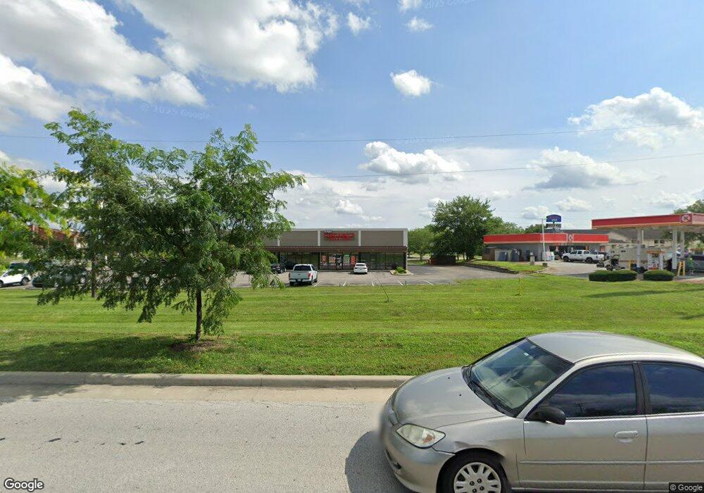
153 Holiday Place Unit 153 & 155 Franklin, IN 46131
Estimated Value: $1,613,435
--
Bed
--
Bath
7,995
Sq Ft
$202/Sq Ft
Est. Value
About This Home
This home is located at 153 Holiday Place Unit 153 & 155, Franklin, IN 46131 and is currently estimated at $1,613,435, approximately $201 per square foot. 153 Holiday Place Unit 153 & 155 is a home located in Johnson County with nearby schools including Needham Elementary School, Franklin Community Middle School, and Custer Baker Intermediate School.
Ownership History
Date
Name
Owned For
Owner Type
Purchase Details
Closed on
Jun 8, 2021
Sold by
151 Properties Llc
Bought by
Hw Carey Holiday Llc
Current Estimated Value
Home Financials for this Owner
Home Financials are based on the most recent Mortgage that was taken out on this home.
Original Mortgage
$650,000
Outstanding Balance
$541,500
Interest Rate
2.9%
Mortgage Type
Commercial
Estimated Equity
$1,071,935
Purchase Details
Closed on
Feb 19, 2021
Sold by
Patro Trent D and Patro Dana R
Bought by
151 Properties Llc
Purchase Details
Closed on
Feb 16, 2015
Sold by
Vag Franklin Llc
Bought by
1729 S Us 31 Llc
Purchase Details
Closed on
Feb 17, 2006
Sold by
Golf Development Corp
Bought by
Vag Franklin Llc
Create a Home Valuation Report for This Property
The Home Valuation Report is an in-depth analysis detailing your home's value as well as a comparison with similar homes in the area
Home Values in the Area
Average Home Value in this Area
Purchase History
| Date | Buyer | Sale Price | Title Company |
|---|---|---|---|
| Hw Carey Holiday Llc | -- | None Available | |
| 151 Properties Llc | -- | None Available | |
| Petro Trent D | -- | None Available | |
| 1729 S Us 31 Llc | $380,000 | -- | |
| Vag Franklin Llc | -- | None Available |
Source: Public Records
Mortgage History
| Date | Status | Borrower | Loan Amount |
|---|---|---|---|
| Open | Hw Carey Holiday Llc | $650,000 |
Source: Public Records
Tax History Compared to Growth
Tax History
| Year | Tax Paid | Tax Assessment Tax Assessment Total Assessment is a certain percentage of the fair market value that is determined by local assessors to be the total taxable value of land and additions on the property. | Land | Improvement |
|---|---|---|---|---|
| 2025 | $14,491 | $555,100 | $188,400 | $366,700 |
| 2024 | $14,491 | $524,200 | $188,400 | $335,800 |
| 2023 | $15,186 | $524,200 | $188,400 | $335,800 |
| 2022 | $16,059 | $524,400 | $188,400 | $336,000 |
| 2021 | $13,540 | $419,200 | $150,700 | $268,500 |
| 2020 | $13,540 | $419,200 | $150,700 | $268,500 |
| 2019 | $13,311 | $412,100 | $143,500 | $268,600 |
| 2018 | $13,451 | $577,800 | $179,400 | $398,400 |
| 2017 | $14,527 | $556,800 | $179,400 | $377,400 |
| 2016 | $11,400 | $397,700 | $179,400 | $218,300 |
| 2014 | $17,727 | $592,200 | $179,400 | $412,800 |
| 2013 | $17,727 | $590,900 | $143,500 | $447,400 |
Source: Public Records
Map
Nearby Homes
- 2117 Jennifer Ct
- 2136 Jennifer Ct
- 1850 Longest Dr
- 1990 Red Oak Dr
- 1532 Williamsburg Ln
- 1083 Beechtree Ln
- 1185 Beechtree Ln
- 1682 Millpond Ln
- 1669 Millpond Ln
- 1646 Millpond Ln
- 1636 Millpond Ln
- 1679 Millpond Ln
- 1690 Millpond Ln
- 1642 Millpond Ln
- 1663 Millpond Ln
- 1640 Millpond Ln
- 1650 Millpond Ln
- 1654 Millpond Ln
- 1660 Millpond Ln
- 1653 Millpond Ln