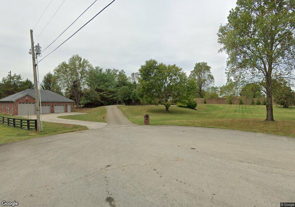
153 Inges Ct Shepherdsville, KY 40165
Estimated Value: $461,000 - $563,763
4
Beds
3
Baths
3,364
Sq Ft
$152/Sq Ft
Est. Value
About This Home
This home is located at 153 Inges Ct, Shepherdsville, KY 40165 and is currently estimated at $511,941, approximately $152 per square foot. 153 Inges Ct is a home located in Bullitt County with nearby schools including Freedom Elementary School, Hebron Middle School, and North Bullitt High School.
Ownership History
Date
Name
Owned For
Owner Type
Purchase Details
Closed on
Sep 15, 2022
Sold by
Weber Gerald and Weber Lori
Bought by
Beavers Robin and Beavers Tracy
Current Estimated Value
Home Financials for this Owner
Home Financials are based on the most recent Mortgage that was taken out on this home.
Original Mortgage
$389,000
Outstanding Balance
$371,283
Interest Rate
5.13%
Mortgage Type
New Conventional
Estimated Equity
$140,658
Create a Home Valuation Report for This Property
The Home Valuation Report is an in-depth analysis detailing your home's value as well as a comparison with similar homes in the area
Home Values in the Area
Average Home Value in this Area
Purchase History
| Date | Buyer | Sale Price | Title Company |
|---|---|---|---|
| Beavers Robin | $529,900 | Signature Title | |
| Beavers Robin | $529,900 | Signature Title |
Source: Public Records
Mortgage History
| Date | Status | Borrower | Loan Amount |
|---|---|---|---|
| Open | Beavers Robin | $389,000 | |
| Closed | Beavers Robin | $389,000 |
Source: Public Records
Tax History Compared to Growth
Tax History
| Year | Tax Paid | Tax Assessment Tax Assessment Total Assessment is a certain percentage of the fair market value that is determined by local assessors to be the total taxable value of land and additions on the property. | Land | Improvement |
|---|---|---|---|---|
| 2024 | $6,119 | $529,900 | $80,000 | $449,900 |
| 2023 | $6,077 | $529,900 | $80,000 | $449,900 |
| 2022 | $3,382 | $290,448 | $0 | $290,448 |
| 2021 | $3,388 | $290,448 | $0 | $0 |
| 2020 | $2,862 | $290,448 | $0 | $0 |
| 2019 | $2,826 | $250,210 | $0 | $0 |
| 2018 | $2,882 | $250,210 | $0 | $0 |
| 2017 | $2,840 | $250,210 | $0 | $0 |
| 2016 | $2,790 | $250,210 | $0 | $0 |
| 2015 | $2,656 | $250,210 | $0 | $0 |
| 2014 | $2,356 | $250,210 | $0 | $0 |
Source: Public Records
Map
Nearby Homes
- 887 Floyds Fork Dr
- 310 Christman Ln Unit B
- 188 Columbia Ln
- 153 Spring Farm Trail
- 310 Minnie Ln
- 234 London Square
- 392 Gentry Ln
- 346 London Square
- Lot 35 E Miller Crossing
- 278 Berger Farm Dr
- 355 Rockwood Ln
- 234 Gentry Ln
- Lot 15 Wray Dr
- Lot 8 Wray Dr
- Lot 3 Wray Dr
- Lot 2 Wray Dr
- Lot 1 Wray Dr
- Lot 10 Wray Dr
- 310 Lentz Ln
- 4643 #2#3 Zoneton Rd
- 387 Floyds Fork Dr
- 363 Floyds Fork Dr
- 128 Erikas Ct
- 363 Floyds Fork Rd
- 427 Floyds Fork Dr
- 321 Floyds Fork Dr
- 146 Inges Ct
- 370 Pikeland Way
- 61 Floyds Fork Rd
- 65 Floyds Fork Rd
- 0, Lot 101 Floyds Fork Rd
- 441 Floyds Fork Dr
- 441 Floyds Fork Rd
- 396 Floyds Fork Rd
- 330 Floyds Fork Dr
- 378 Floyds Fork Dr
- 129 Erikas Ct
- 396 Floyds Fork Dr
- 463 Floyds Fork Dr
- 364 Floyds Fork Dr