153 John Walraven Rd Unit LOT 1A Dallas, GA 30132
East Paulding County NeighborhoodEstimated Value: $432,000 - $642,223
--
Bed
4
Baths
2,384
Sq Ft
$210/Sq Ft
Est. Value
About This Home
This home is located at 153 John Walraven Rd Unit LOT 1A, Dallas, GA 30132 and is currently estimated at $499,556, approximately $209 per square foot. 153 John Walraven Rd Unit LOT 1A is a home located in Paulding County with nearby schools including Northside Elementary School, Herschel Jones Middle School, and North Paulding High School.
Ownership History
Date
Name
Owned For
Owner Type
Purchase Details
Closed on
May 30, 2017
Sold by
Tibbitts Russell W
Bought by
Hart Jackey Maurice
Current Estimated Value
Purchase Details
Closed on
Jan 5, 2017
Sold by
Tibbitts Russell W
Bought by
Jenkins Christopher W and Jenkins Joy Heather
Purchase Details
Closed on
Oct 31, 2016
Sold by
Hart Jackey M
Bought by
Hart Jackey M and Hart Brittany E
Purchase Details
Closed on
Oct 28, 2016
Sold by
Russell W
Bought by
Hart Jackey M and Hart Brittany E
Create a Home Valuation Report for This Property
The Home Valuation Report is an in-depth analysis detailing your home's value as well as a comparison with similar homes in the area
Home Values in the Area
Average Home Value in this Area
Purchase History
| Date | Buyer | Sale Price | Title Company |
|---|---|---|---|
| Hart Jackey Maurice | $168,134 | -- | |
| Jenkins Christopher W | $75,000 | -- | |
| Hart Jackey M | -- | -- | |
| Hart Jackey M | $19,600 | -- | |
| Hart Jackey M | $35,000 | -- |
Source: Public Records
Tax History Compared to Growth
Tax History
| Year | Tax Paid | Tax Assessment Tax Assessment Total Assessment is a certain percentage of the fair market value that is determined by local assessors to be the total taxable value of land and additions on the property. | Land | Improvement |
|---|---|---|---|---|
| 2024 | $5,559 | $226,720 | $40,200 | $186,520 |
| 2023 | $5,636 | $218,720 | $39,200 | $179,520 |
| 2022 | $4,982 | $192,960 | $31,560 | $161,400 |
| 2021 | $4,254 | $148,240 | $26,680 | $121,560 |
| 2020 | $3,928 | $134,120 | $26,680 | $107,440 |
| 2019 | $3,754 | $126,440 | $25,400 | $101,040 |
| 2018 | $616 | $20,440 | $20,440 | $0 |
Source: Public Records
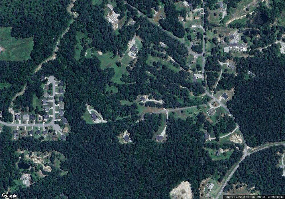
Map
Nearby Homes
- 272 Kades Cove Dr
- 18 Mountain Ct
- 89 Dundee Crossing
- 38 Kelso Way
- 144 Aberdeen Way
- 219 Aberdeen Way
- 749 Scotland Dr
- 439 Scotland Dr
- The Langford Plan at Jones Ridge
- The James Plan at Jones Ridge
- The Palmer Plan at Jones Ridge
- The Lancaster Plan at Jones Ridge
- The Ellijay Plan at Jones Ridge
- The Avery Plan at Jones Ridge
- The McGinnis Plan at Jones Ridge
- 16 Riders Ridge
- 74 Riders Ridge
- 70 Stallion Run
- 153 John Walraven Rd
- 155 John Walraven Rd
- 151 John Walraven Rd
- 27 Mountain Ct
- 149 John Walraven Rd
- 286 Kades Cove Dr
- 22 Mountain Ct
- 302 Kades Cove Dr
- 318 Kades Cove Dr
- 336 Kades Cove Dr
- 0 Mountain Ct
- 350 Kades Cove Dr
- 244 Kades Cove Dr
- 249 Kades Cove Dr
- 297 Kades Cove Dr
- 311 Kades Cove Dr
- 0 Kades Cove Dr Unit 3213078
- 0 Kades Cove Dr Unit 8720989
- 0 Kades Cove Dr Unit 8576601
- 0 Kades Cove Dr Unit 8422583