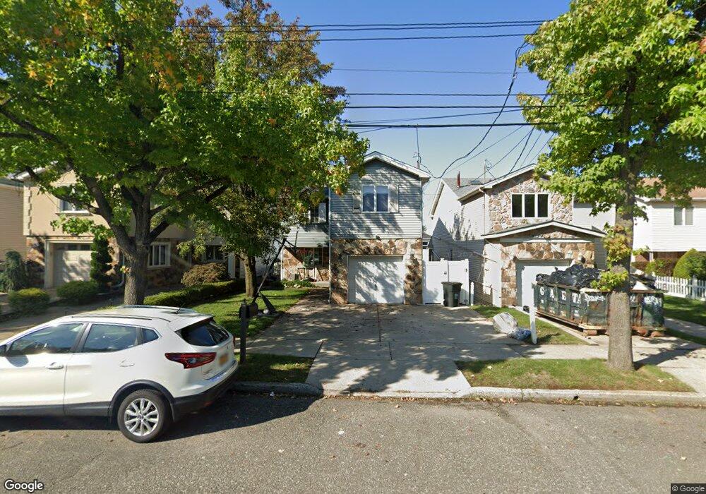
153 Lucille Ave Staten Island, NY 10309
Rossville NeighborhoodEstimated Value: $745,613 - $889,000
4
Beds
3
Baths
2,900
Sq Ft
$277/Sq Ft
Est. Value
About This Home
This home is located at 153 Lucille Ave, Staten Island, NY 10309 and is currently estimated at $802,153, approximately $276 per square foot. 153 Lucille Ave is a home located in Richmond County with nearby schools including P.S. 56 - The Louis Desario School, Is 34 Tottenville, and Tottenville High School.
Ownership History
Date
Name
Owned For
Owner Type
Purchase Details
Closed on
Aug 15, 2002
Sold by
Lowenthal John M and Mammana Marion R
Bought by
Read Timothy and Read Michelle
Current Estimated Value
Home Financials for this Owner
Home Financials are based on the most recent Mortgage that was taken out on this home.
Original Mortgage
$220,000
Interest Rate
6.27%
Mortgage Type
Purchase Money Mortgage
Create a Home Valuation Report for This Property
The Home Valuation Report is an in-depth analysis detailing your home's value as well as a comparison with similar homes in the area
Home Values in the Area
Average Home Value in this Area
Purchase History
| Date | Buyer | Sale Price | Title Company |
|---|---|---|---|
| Read Timothy | $363,000 | -- |
Source: Public Records
Mortgage History
| Date | Status | Borrower | Loan Amount |
|---|---|---|---|
| Previous Owner | Read Timothy | $220,000 |
Source: Public Records
Tax History Compared to Growth
Tax History
| Year | Tax Paid | Tax Assessment Tax Assessment Total Assessment is a certain percentage of the fair market value that is determined by local assessors to be the total taxable value of land and additions on the property. | Land | Improvement |
|---|---|---|---|---|
| 2025 | $6,504 | $39,660 | $8,776 | $30,884 |
| 2024 | $6,516 | $33,780 | $11,035 | $22,745 |
| 2023 | $7,063 | $36,180 | $9,978 | $26,202 |
| 2022 | $6,708 | $35,040 | $9,720 | $25,320 |
| 2021 | $7,000 | $36,900 | $9,720 | $27,180 |
| 2020 | $6,877 | $40,800 | $9,720 | $31,080 |
| 2019 | $6,395 | $36,480 | $9,720 | $26,760 |
| 2018 | $6,219 | $31,968 | $8,603 | $23,365 |
| 2017 | $5,949 | $30,655 | $8,932 | $21,723 |
| 2016 | $5,472 | $28,920 | $9,720 | $19,200 |
| 2015 | $4,807 | $28,238 | $7,152 | $21,086 |
| 2014 | $4,807 | $26,640 | $8,100 | $18,540 |
Source: Public Records
Map
Nearby Homes
- 149 Lucille Ave
- 125 Wirt Ave
- 159 Wirt Ave
- 494 Winant Ave
- 16 Wirt Ln
- 857 Bloomingdale Rd
- 76 Lucille Ave
- 15 Lorraine Loop
- 17 Lorraine Loop
- 34 Lorraine Loop
- 37 Charleston Ave
- 39 Hemlock Ct Unit 152
- 97 Bower Ct Unit 1
- 97 Bower Ct Unit 74
- 102 Lorraine Loop
- 729 Correll Ave
- 22 Charleston Ave Unit 168
- 816 Bloomingdale Rd
- 126 Lorraine Loop
- 5 Wirt Ave
- 157 Lucille Ave
- 145 Lucille Ave
- 161 Lucille Ave
- 162 Charleston Ave
- 166 Charleston Ave
- 141 Lucille Ave
- 158 Charleston Ave
- 165 Lucille Ave
- 170 Charleston Ave
- 154 Charleston Ave
- 137 Lucille Ave
- 171 Lucille Ave
- 150 Lucille Ave
- 148 Lucille Ave
- 156 Lucille Ave
- 146 Lucille Ave
- 150 Charleston Ave
- 144 Lucille Ave
- 158 Lucille Ave
- 142 Lucille Ave