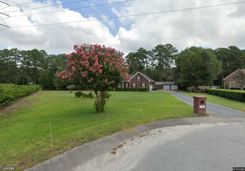
153 Manning Dr West Columbia, SC 29169
Estimated Value: $297,000 - $505,000
3
Beds
3
Baths
2,468
Sq Ft
$165/Sq Ft
Est. Value
About This Home
This home is located at 153 Manning Dr, West Columbia, SC 29169 and is currently estimated at $408,001, approximately $165 per square foot. 153 Manning Dr is a home located in Lexington County with nearby schools including Riverbank Elementary, Cyril B. Busbee Creative Arts Academy, and Brookland-Cayce High School.
Ownership History
Date
Name
Owned For
Owner Type
Purchase Details
Closed on
Aug 31, 2017
Sold by
Dunlap Sandra Rush
Bought by
Hornsby Sharon E and Manning Craig
Current Estimated Value
Home Financials for this Owner
Home Financials are based on the most recent Mortgage that was taken out on this home.
Original Mortgage
$220,000
Outstanding Balance
$183,864
Interest Rate
3.93%
Mortgage Type
New Conventional
Estimated Equity
$224,137
Purchase Details
Closed on
Apr 26, 2017
Sold by
Dunlap Sandra R
Bought by
Dunlap Sandra Rush
Purchase Details
Closed on
Mar 23, 2005
Sold by
The Hook Partnership
Bought by
Dunlap Robert J and Dunlap Sandra R
Create a Home Valuation Report for This Property
The Home Valuation Report is an in-depth analysis detailing your home's value as well as a comparison with similar homes in the area
Home Values in the Area
Average Home Value in this Area
Purchase History
| Date | Buyer | Sale Price | Title Company |
|---|---|---|---|
| Hornsby Sharon E | $279,000 | None Available | |
| Dunlap Sandra Rush | -- | None Available | |
| Dunlap Robert J | $29,000 | -- |
Source: Public Records
Mortgage History
| Date | Status | Borrower | Loan Amount |
|---|---|---|---|
| Open | Hornsby Sharon E | $220,000 |
Source: Public Records
Tax History Compared to Growth
Tax History
| Year | Tax Paid | Tax Assessment Tax Assessment Total Assessment is a certain percentage of the fair market value that is determined by local assessors to be the total taxable value of land and additions on the property. | Land | Improvement |
|---|---|---|---|---|
| 2024 | $1,789 | $11,630 | $1,600 | $10,030 |
| 2023 | $1,789 | $11,630 | $1,600 | $10,030 |
| 2022 | $1,810 | $11,630 | $1,600 | $10,030 |
| 2020 | $1,613 | $11,299 | $1,600 | $9,699 |
| 2019 | $1,622 | $11,160 | $1,852 | $9,308 |
| 2018 | $1,644 | $11,160 | $1,852 | $9,308 |
| 2017 | $944 | $7,757 | $1,452 | $6,305 |
| 2016 | $981 | $7,757 | $1,452 | $6,305 |
| 2014 | $783 | $8,145 | $1,350 | $6,795 |
| 2013 | -- | $8,150 | $1,350 | $6,800 |
Source: Public Records
Map
Nearby Homes
- 1802 D Ave
- 212 Alexandria St
- 309 Hammond Ave
- 224 17th St
- 116 Silver Run Place
- 1734 C Ave
- 1608 Crapps Ave
- 135 Silver Run Place
- 153 Cavendish Dr
- 151 Cavendish Dr
- 157 Cavendish Dr
- 2024 Platt Springs Rd
- 1628 C Ave
- 1610 D Ave
- 339 Gum Swamp Trail
- 349 Gum Swamp Trail
- 1452 C Ave
- 1445 D Ave
- Oak Plan at Faith Hills
- 706 Westside Dr